
Cycling in Sherwood
Discover a map of 33 cycling routes and bike trails near Sherwood, created by our community.
Region portrait
Get to know Sherwood
Find the right bike route for you through Sherwood, where we've got 33 cycle routes to explore. Most people get on their bikes to ride here in the month of July.
1,227 km
Tracked distance
33
Cycle routes
18,194
Population
Community
Most active users in Sherwood

From our community
The best bike routes in and around Sherwood

Sherwood 65 through Champoeg State Park
Cycling route in Sherwood, Oregon, United States
This is training ride going through Sherwood and Campoeg State Park.
(cloned from route 696702)
- 103.1 km
- Distance
- 619 m
- Ascent
- 619 m
- Descent

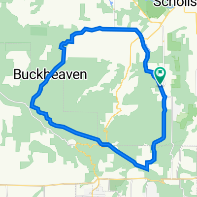
Sherwood/Roy Rogers Loop
Cycling route in Sherwood, Oregon, United States
- 12.5 km
- Distance
- 204 m
- Ascent
- 204 m
- Descent


Sherwood 65 through Champoeg State Park
Cycling route in Sherwood, Oregon, United States
This is training ride going through Sherwood and Campoeg State Park.
- 103.1 km
- Distance
- 632 m
- Ascent
- 632 m
- Descent
Discover more routes
 MtnTop-McCormickHill-MtnHome Loop
- Distance
- 22.5 km
- Ascent
- 523 m
- Descent
- 523 m
- Location
- Sherwood, Oregon, United States
 Coast Range Century
- Distance
- 159.9 km
- Ascent
- 2,110 m
- Descent
- 2,111 m
- Location
- Sherwood, Oregon, United States
 Chehalem Loop (in progress) 2.0
- Distance
- 105.4 km
- Ascent
- 1,284 m
- Descent
- 1,284 m
- Location
- Sherwood, Oregon, United States
 19255 SW Pacific Hwy, Sherwood to 13907 SW Andrew Terr, Tigard
- Distance
- 8.7 km
- Ascent
- 78 m
- Descent
- 49 m
- Location
- Sherwood, Oregon, United States
 SW Roy Rogers Rd, Sherwood to 15113 SW Cabernet Dr, Portland
- Distance
- 12.1 km
- Ascent
- 170 m
- Descent
- 65 m
- Location
- Sherwood, Oregon, United States
 Sherwood Cycling
- Distance
- 104.5 km
- Ascent
- 665 m
- Descent
- 683 m
- Location
- Sherwood, Oregon, United States
 Chehalem Loop (in progress)
- Distance
- 38 km
- Ascent
- 835 m
- Descent
- 826 m
- Location
- Sherwood, Oregon, United States
 xfgxf
xfgxf- Distance
- 358.2 km
- Ascent
- 694 m
- Descent
- 757 m
- Location
- Sherwood, Oregon, United States