
Cycling in Umatilla
Discover a map of 11 cycling routes and bike trails near Umatilla, created by our community.
Region portrait
Get to know Umatilla
Find the right bike route for you through Umatilla, where we've got 11 cycle routes to explore.
974 km
Tracked distance
11
Cycle routes
6,906
Population
Community
Most active users in Umatilla


From our community
The best bike routes in and around Umatilla
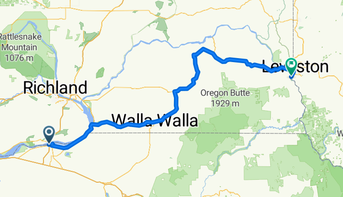
Umatilla OR to Lewiston ID
Cycling route in Umatilla, Oregon, United States
- 253.6 km
- Distance
- 1,284 m
- Ascent
- 1,144 m
- Descent
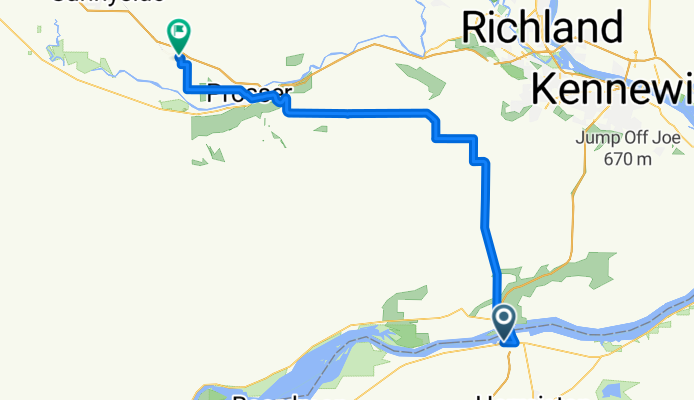
Umatilla to Grandview
Cycling route in Umatilla, Oregon, United States
- 80.3 km
- Distance
- 666 m
- Ascent
- 513 m
- Descent
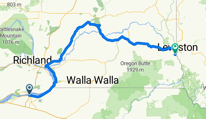
Palouse Falls
Cycling route in Umatilla, Oregon, United States
- 292.3 km
- Distance
- 1,236 m
- Ascent
- 1,101 m
- Descent
Discover more routes
 Lewis & Clark Highway Part 2
- Distance
- 130.2 km
- Ascent
- 436 m
- Descent
- 516 m
- Location
- Umatilla, Oregon, United States
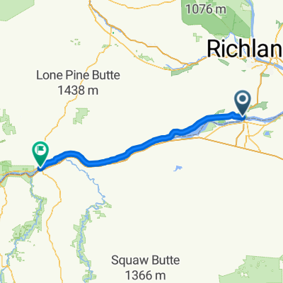
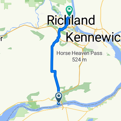 Umatilla - Richland
- Distance
- 49.1 km
- Ascent
- 638 m
- Descent
- 615 m
- Location
- Umatilla, Oregon, United States
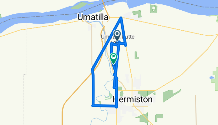
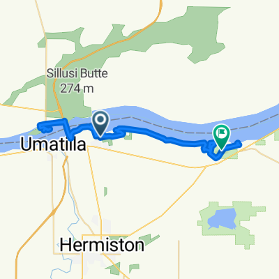
 Route to 11 Riverside Ave, Umatilla
- Distance
- 10.1 km
- Ascent
- 161 m
- Descent
- 108 m
- Location
- Umatilla, Oregon, United States
 Recovered Route
- Distance
- 66.2 km
- Ascent
- 367 m
- Descent
- 381 m
- Location
- Umatilla, Oregon, United States
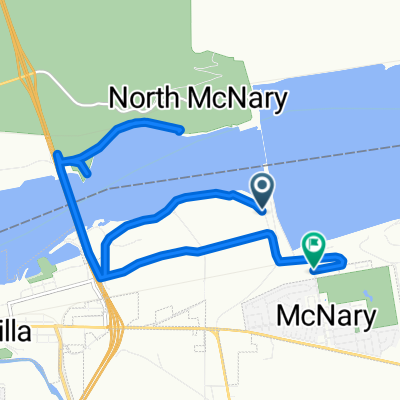
 Recovered Route
- Distance
- 7.3 km
- Ascent
- 56 m
- Descent
- 115 m
- Location
- Umatilla, Oregon, United States
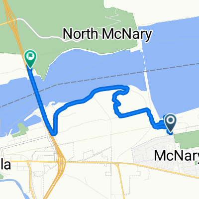
 Devore Rd, Umatilla to 1–7 Riverside Ave, Umatilla
- Distance
- 13.8 km
- Ascent
- 179 m
- Descent
- 119 m
- Location
- Umatilla, Oregon, United States
 Recovered Route
- Distance
- 43.8 km
- Ascent
- 253 m
- Descent
- 376 m
- Location
- Umatilla, Oregon, United States