
Cycling in Oakley
Discover a map of 5 cycling routes and bike trails near Oakley, created by our community.
Region portrait
Get to know Oakley
Find the right bike route for you through Oakley, where we've got 5 cycle routes to explore.
173 km
Tracked distance
5
Cycle routes
1,470
Population


From our community
The best bike routes in and around Oakley
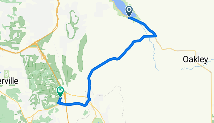
Snyderville - Park City
Cycling route in Oakley, Utah, United States
- 18.2 km
- Distance
- 350 m
- Ascent
- 167 m
- Descent


Moderate route in Oakley
Cycling route in Oakley, Utah, United States
- 36.4 km
- Distance
- 451 m
- Ascent
- 369 m
- Descent

2755 Cottonwood Dr, Coalville to 2325 Sidewinder Dr, Park City
Cycling route in Oakley, Utah, United States
- 23.4 km
- Distance
- 282 m
- Ascent
- 21 m
- Descent