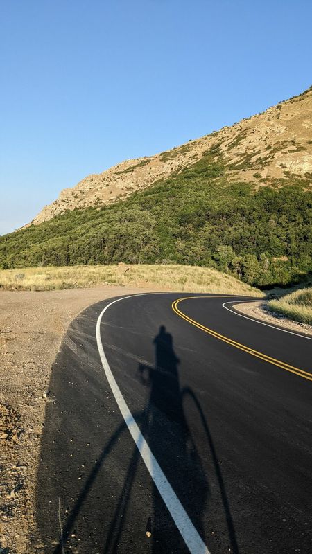
Cycling in West Haven
Discover a map of 30 cycling routes and bike trails near West Haven, created by our community.
Region portrait
Get to know West Haven
Find the right bike route for you through West Haven, where we've got 30 cycle routes to explore. Most people get on their bikes to ride here in the month of July.
1,360 km
Tracked distance
30
Cycle routes
10,272
Population
Community
Most active users in West Haven
From our community
The best bike routes in and around West Haven
North Ogden Divide around Pineview and back home
Cycling route in West Haven, Utah, United States
- 81.2 km
- Distance
- 1,024 m
- Ascent
- 1,025 m
- Descent
Weber to Davis Campus
Cycling route in West Haven, Utah, United States
- 42.2 km
- Distance
- 413 m
- Ascent
- 411 m
- Descent
Climbing Goal #1
Cycling route in West Haven, Utah, United States
- 60.3 km
- Distance
- 991 m
- Ascent
- 992 m
- Descent
Divide to Trappers
Cycling route in West Haven, Utah, United States
- 91.8 km
- Distance
- 1,122 m
- Ascent
- 1,123 m
- Descent
Discover more routes
 In Laws
- Distance
- 110.8 km
- Ascent
- 1,706 m
- Descent
- 1,137 m
- Location
- West Haven, Utah, United States
 2 In Laws
- Distance
- 110.8 km
- Ascent
- 1,706 m
- Descent
- 1,137 m
- Location
- West Haven, Utah, United States
 Giant - Giant
- Distance
- 18.9 km
- Ascent
- 75 m
- Descent
- 74 m
- Location
- West Haven, Utah, United States
 West 4350 South 2335, Roy to West 4350 South 2335, Roy
- Distance
- 44.8 km
- Ascent
- 180 m
- Descent
- 159 m
- Location
- West Haven, Utah, United States
 West 4250 South 2254, Roy to North 5600 East 2297, Eden
- Distance
- 36.3 km
- Ascent
- 474 m
- Descent
- 327 m
- Location
- West Haven, Utah, United States
 Round About Hooper and West Point
- Distance
- 44.3 km
- Ascent
- 121 m
- Descent
- 120 m
- Location
- West Haven, Utah, United States
 Home to Petersens to Station park
- Distance
- 49.4 km
- Ascent
- 77 m
- Descent
- 89 m
- Location
- West Haven, Utah, United States
 Ogden to Provo
- Distance
- 158.2 km
- Ascent
- 272 m
- Descent
- 205 m
- Location
- West Haven, Utah, United States


