
Cycling in Woods Cross
Discover a map of 8 cycling routes and bike trails near Woods Cross, created by our community.
Region portrait
Get to know Woods Cross
Find the right bike route for you through Woods Cross, where we've got 8 cycle routes to explore.
228 km
Tracked distance
8
Cycle routes
9,761
Population
Community
Most active users in Woods Cross

From our community
The best bike routes in and around Woods Cross

Small Loop
Cycling route in Woods Cross, Utah, United States of America
- 13.2 km
- Distance
- 226 m
- Ascent
- 226 m
- Descent

Bountiful Loop
Cycling route in Woods Cross, Utah, United States of America
For a newer cyclist the climb, the initial climb up Bountiful Blvd is very difficult. This ride is intended to be finished in about 1 hour and is useful as a daily workout with some climbing.
- 19.2 km
- Distance
- 278 m
- Ascent
- 350 m
- Descent
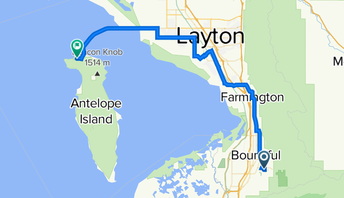
Bountiful to Antelope Island
Cycling route in Woods Cross, Utah, United States of America
Uses the same route after Sunset Drive that is used for the Salt Lake Century.
- 60 km
- Distance
- 151 m
- Ascent
- 334 m
- Descent

Windsor Lane 887, Bountiful to Ace Cafe + Medical Center, Grantsville
Cycling route in Woods Cross, Utah, United States of America
- 68 km
- Distance
- 108 m
- Ascent
- 298 m
- Descent
Discover more routes
 Steady ride in Woods Cross
- Distance
- 0.1 km
- Ascent
- 0 m
- Descent
- 0 m
- Location
- Woods Cross, Utah, United States of America
 Bountiful to Kaysville return through Legacy Loop
- Distance
- 61.6 km
- Ascent
- 261 m
- Descent
- 261 m
- Location
- Woods Cross, Utah, United States of America
 614 W 2600 S, Woods Cross to 2487 S 800 W, Woods Cross
- Distance
- 4.5 km
- Ascent
- 1,368 m
- Descent
- 1,381 m
- Location
- Woods Cross, Utah, United States of America
 1831 S 440 W, Woods Cross to 467 W 1875 S, Woods Cross
- Distance
- 1.3 km
- Ascent
- 11 m
- Descent
- 17 m
- Location
- Woods Cross, Utah, United States of America