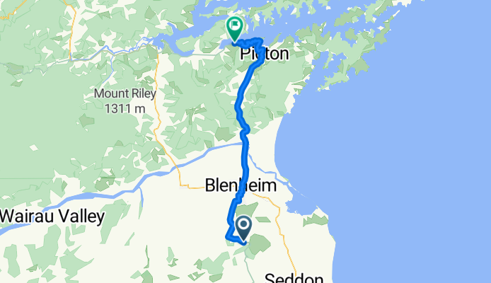

34 New Renwick Rd, Blenheim to 49 New Renwick Rd, Blenheim
- 0.2 km
- 0 m
- 0 m
- Blenheim, Marlborough, New Zealand

Discover a map of 48 cycling routes and bike trails near Blenheim, created by our community.
Region portrait
Find the right bike route for you through Blenheim, where we've got 48 cycle routes to explore.
22,325 km
Tracked distance
48
Cycle routes
26,550
Population
Community
From our community


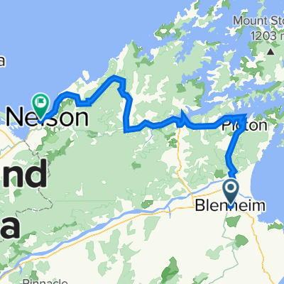
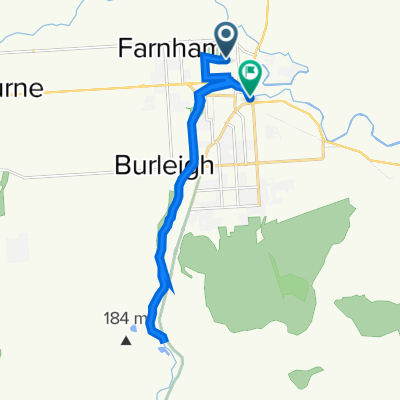
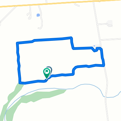
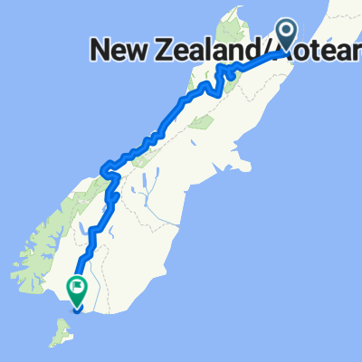
Cycling route in Blenheim, Marlborough, New Zealand
Cycling route in Blenheim, Marlborough, New Zealand
Cycling route in Blenheim, Marlborough, New Zealand
Cycling route in Blenheim, Marlborough, New Zealand