
Cycling in Sagron Mis
Discover a map of 10 cycling routes and bike trails near Sagron Mis, created by our community.
Region portrait
Get to know Sagron Mis
Find the right bike route for you through Sagron Mis, where we've got 10 cycle routes to explore.
669 km
Tracked distance
10
Cycle routes
207
Population
Community
Most active users in Sagron Mis


From our community
The best bike routes in and around Sagron Mis

2020 Tag 5
Cycling route in Sagron Mis, Trentino-Alto Adige, Italy
- 10.8 km
- Distance
- 1,031 m
- Ascent
- 1,013 m
- Descent

cereda
Cycling route in Sagron Mis, Trentino-Alto Adige, Italy
- 128.9 km
- Distance
- 4,022 m
- Ascent
- 5,362 m
- Descent
Day 3 Rolle Valles Pellegrinio
Cycling route in Sagron Mis, Trentino-Alto Adige, Italy
- 91.9 km
- Distance
- 2,650 m
- Ascent
- 2,313 m
- Descent

2020 Tag 6
Cycling route in Sagron Mis, Trentino-Alto Adige, Italy
- 12.5 km
- Distance
- 1,187 m
- Ascent
- 936 m
- Descent
Discover more routes
 Giro passo Cereda1
- Distance
- 8.9 km
- Ascent
- 500 m
- Descent
- 336 m
- Location
- Sagron Mis, Trentino-Alto Adige, Italy
 cereda
- Distance
- 154.2 km
- Ascent
- 0 m
- Descent
- 0 m
- Location
- Sagron Mis, Trentino-Alto Adige, Italy
 Da Via Prà di Là, Sagron Mis a Via Prà di Là, Sagron Mis
- Distance
- 22.7 km
- Ascent
- 725 m
- Descent
- 725 m
- Location
- Sagron Mis, Trentino-Alto Adige, Italy
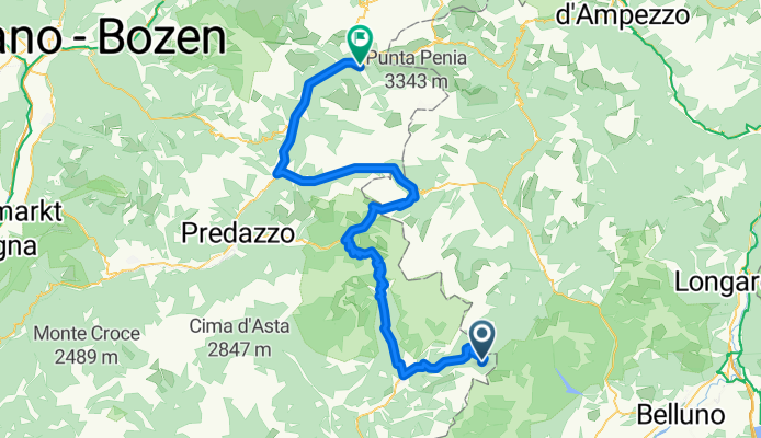
 Da Via Prà di Là, Sagron Mis a Via Arestiezza 24C, Tesero
- Distance
- 63.9 km
- Ascent
- 1,965 m
- Descent
- 2,035 m
- Location
- Sagron Mis, Trentino-Alto Adige, Italy
 palla di Sanmartino
- Distance
- 98.9 km
- Ascent
- 2,824 m
- Descent
- 2,770 m
- Location
- Sagron Mis, Trentino-Alto Adige, Italy
 T2020-E6
- Distance
- 76.5 km
- Ascent
- 123 m
- Descent
- 279 m
- Location
- Sagron Mis, Trentino-Alto Adige, Italy