
Cycling in Terragnolo
Discover a map of 14 cycling routes and bike trails near Terragnolo, created by our community.
Region portrait
Get to know Terragnolo
Find the right bike route for you through Terragnolo, where we've got 14 cycle routes to explore.
637 km
Tracked distance
14
Cycle routes
749
Population


From our community
The best bike routes in and around Terragnolo

Tione di Trento - Monte Finonchio
Cycling route in Terragnolo, Trentino-Alto Adige, Italy
- 222.9 km
- Distance
- 4,983 m
- Ascent
- 5,994 m
- Descent

Wolfsschlucht / Forra del Lupo
Cycling route in Terragnolo, Trentino-Alto Adige, Italy
- 8.8 km
- Distance
- 439 m
- Ascent
- 439 m
- Descent

RRIT029
Cycling route in Terragnolo, Trentino-Alto Adige, Italy
- 75.9 km
- Distance
- 1,965 m
- Ascent
- 1,965 m
- Descent

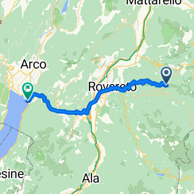
Serrada-Rovereto
Cycling route in Terragnolo, Trentino-Alto Adige, Italy
- 18.4 km
- Distance
- 320 m
- Ascent
- 1,376 m
- Descent
Discover more routes
 Serrada-Rovereto
- Distance
- 19.8 km
- Ascent
- 335 m
- Descent
- 1,399 m
- Location
- Terragnolo, Trentino-Alto Adige, Italy
 Transalp 7. Etappe Serrada Torbole
- Distance
- 32.5 km
- Ascent
- 437 m
- Descent
- 1,619 m
- Location
- Terragnolo, Trentino-Alto Adige, Italy
 serrada- monte finonchio
- Distance
- 3.9 km
- Ascent
- 443 m
- Descent
- 103 m
- Location
- Terragnolo, Trentino-Alto Adige, Italy
 monte maggio
- Distance
- 70.6 km
- Ascent
- 1,949 m
- Descent
- 1,955 m
- Location
- Terragnolo, Trentino-Alto Adige, Italy
 Montemaggio
- Distance
- 35 km
- Ascent
- 1,547 m
- Descent
- 1,544 m
- Location
- Terragnolo, Trentino-Alto Adige, Italy
 Serrada Coe Borcola Asfalto
- Distance
- 71 km
- Ascent
- 2,654 m
- Descent
- 2,652 m
- Location
- Terragnolo, Trentino-Alto Adige, Italy
 Da Serrada Via Pasubio, Folgaria a Via Pasubio 135, Serrada
- Distance
- 15.3 km
- Ascent
- 892 m
- Descent
- 908 m
- Location
- Terragnolo, Trentino-Alto Adige, Italy
 Blistering ride in Calliano
- Distance
- 14.2 km
- Ascent
- 18 m
- Descent
- 1,034 m
- Location
- Terragnolo, Trentino-Alto Adige, Italy