
Cycling in Rodengo - Rodeneck
Discover a map of 17 cycling routes and bike trails near Rodengo - Rodeneck, created by our community.
Region portrait
Get to know Rodengo - Rodeneck
Find the right bike route for you through Rodengo - Rodeneck, where we've got 17 cycle routes to explore.
679 km
Tracked distance
17
Cycle routes
1,157
Population
Community
Most active users in Rodengo - Rodeneck


From our community
The best bike routes in and around Rodengo - Rodeneck

VM-E4-K4+T4
Cycling route in Rodengo - Rodeneck, Trentino-Alto Adige, Italy
Rodeneck LüsnerJoch
ab Göma SchlüterHütte - Kreuzjoch
in Campill wieder auf E4-K4+T3 zurück
Ziel St. Kassian
- 59 km
- Distance
- 1,616 m
- Ascent
- 1,793 m
- Descent

Trails über Lüsner Alm10hS3
Cycling route in Rodengo - Rodeneck, Trentino-Alto Adige, Italy
- 67.4 km
- Distance
- 2,226 m
- Ascent
- 2,226 m
- Descent

Lüsener Almen Tour
Cycling route in Rodengo - Rodeneck, Trentino-Alto Adige, Italy
- 68.3 km
- Distance
- 2,243 m
- Ascent
- 2,243 m
- Descent

Via Migra - Etappe 4 (K4T4)
Cycling route in Rodengo - Rodeneck, Trentino-Alto Adige, Italy
- 59.4 km
- Distance
- 2,360 m
- Ascent
- 1,689 m
- Descent
Discover more routes
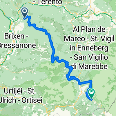
 Rodenecker Alm
- Distance
- 13.3 km
- Ascent
- 479 m
- Descent
- 461 m
- Location
- Rodengo - Rodeneck, Trentino-Alto Adige, Italy
 Via Migra - Etappe (K5T3)
- Distance
- 60.9 km
- Ascent
- 2,380 m
- Descent
- 1,709 m
- Location
- Rodengo - Rodeneck, Trentino-Alto Adige, Italy
 Langsame Fahrt in Natz-Schabs
- Distance
- 0.4 km
- Ascent
- 8 m
- Descent
- 12 m
- Location
- Rodengo - Rodeneck, Trentino-Alto Adige, Italy
 Via Migra - Etappe 4 (K3T2)
- Distance
- 51.9 km
- Ascent
- 2,129 m
- Descent
- 1,458 m
- Location
- Rodengo - Rodeneck, Trentino-Alto Adige, Italy
 BDO - 04
- Distance
- 55.9 km
- Ascent
- 705 m
- Descent
- 1,318 m
- Location
- Rodengo - Rodeneck, Trentino-Alto Adige, Italy
 Via Migra - Etappe 4 (K4T3)
- Distance
- 56.2 km
- Ascent
- 2,668 m
- Descent
- 1,989 m
- Location
- Rodengo - Rodeneck, Trentino-Alto Adige, Italy
 Via Migra - Etappe 4 (K4T3)
- Distance
- 55.8 km
- Ascent
- 1,960 m
- Descent
- 2,129 m
- Location
- Rodengo - Rodeneck, Trentino-Alto Adige, Italy
 Via Migra - Etappe 4 (K4T3)
- Distance
- 58.7 km
- Ascent
- 2,214 m
- Descent
- 1,543 m
- Location
- Rodengo - Rodeneck, Trentino-Alto Adige, Italy