Ultimo - Ulten - Malé
- 40.1 km
- 1,239 m
- 1,643 m
- Ultimo - Ulten, Trentino-Alto Adige, Italy

Find the right bike route for you through Ultimo - Ulten, where we've got 28 cycle routes to explore.
Tracked distance
Cycle routes
Population
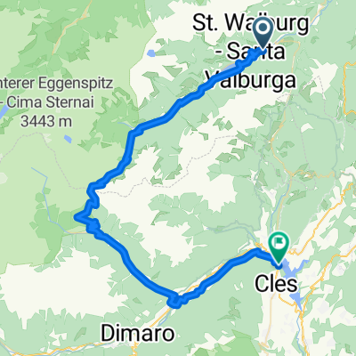
Cycling route in Ultimo - Ulten, Trentino-Alto Adige, Italy
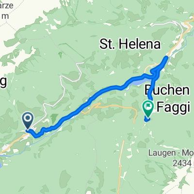
Cycling route in Ultimo - Ulten, Trentino-Alto Adige, Italy
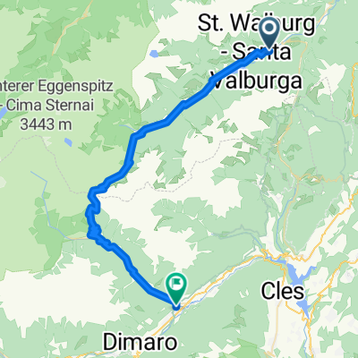
Cycling route in Ultimo - Ulten, Trentino-Alto Adige, Italy
Cycling route in Ultimo - Ulten, Trentino-Alto Adige, Italy