Cycling in Maidenbower
Discover a map of 146 cycling routes and bike trails near Maidenbower, created by our community.
Region portrait
Get to know Maidenbower
Find the right bike route for you through Maidenbower, where we've got 146 cycle routes to explore. Most people get on their bikes to ride here in the months of July and August.
2,760 km
Tracked distance
146
Cycle routes
8,070
Population
Community
Most active users in Maidenbower
From our community
The best bike routes in and around Maidenbower
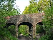
ThreeBridgesCircular
Cycling route in Maidenbower, England, United Kingdom
- 14.3 km
- Distance
- 172 m
- Ascent
- 170 m
- Descent
East Grinstead
Cycling route in Maidenbower, England, United Kingdom
East Grinstead climbs
- 32.8 km
- Distance
- 267 m
- Ascent
- 269 m
- Descent
The Weald
Cycling route in Maidenbower, England, United Kingdom
This is a 43 mile route through the High Weald ‘Area of Outstanding Natural Beauty’ from Crawley to the outskirts of Eastbourne. For POI's, notes & updates see www.pootler.co.uk. It will appeal to anyone who wants an off road trail that doesn’t involve the very rough tracks beloved of the mountain bikers. It follows National Cycle Route 21, so mapping it involved very little effort on my part,. I have eschewed waypoints simply because I am ignorant of any compelling things to look out for on the route. The attraction is simply the generously wooded countryside; ‘Weald’ comes from the old German word ‘Wald’ and means ‘Wooded’.
But the ‘High’ in the name isn’t a misnomer and there are a few climbs between miles 21 and 31 as you head south, before a gentle cruise down from the Weald towards the coast on the ‘Cuckoo Trail’ towards Polegate Station. This is one of the many trails built on railway lines cut by Beeching in the 1960's and I believe it ran from Polegate to Tunbridge Wells. Apparently they used to release a cuckoo every year at Heathfield Fare which they fancifully claimed to be the first cuckoo of spring, hence the name.
If you want to go beyond that into Eastbourne, for dinner on the seafront perhaps, you have another five miles to go.
Cuckoo Trail
Like all of South East England, the clay and sandstone rocks of the Weald were formed from sediments of muck at the bottom of the sea. They emerged from the water about 60m years ago, only be concertinaed by movements in the Earths Crust. The Weald was an anticline or upwards fold which, having poked its rocky head over the parapet, was carved up by river valleys and eroded away. (The syncline or downward fold to the north became the Thames Basin).
The area now is an 'Area of Outstanding Natural Beauty' (AONB), described in their website as “a medieval landscape of wooded, rolling hills studded with sandstone outcrops; small, irregular-shaped fields; scattered farmsteads; and ancient routeways”. See the link below.
The High Weald remained heavily wooded for centuries and was only thinly settled until recently. Now, this is no pickled Arcadia but one of the most densely populated of Britain’s areas of protected countryside and part of the penumbra of the Great Wen. The route actually feels more remote than it is; the trees hide a lot and the path threads its way like a sly ghost through the towns but looking around you will also see more than the odd glimpse of the serried rows of Semis, saloons and salons of London’s diaspora. But it is still lovely for all that and if you look carefully and know what you are looking for, you will see the faint and flickering legacies of old boundary ditches, holloways and hedges, the latter all grown up into woodland and sometimes coppiced
- 121 km
- Distance
- 1,448 m
- Ascent
- 1,453 m
- Descent
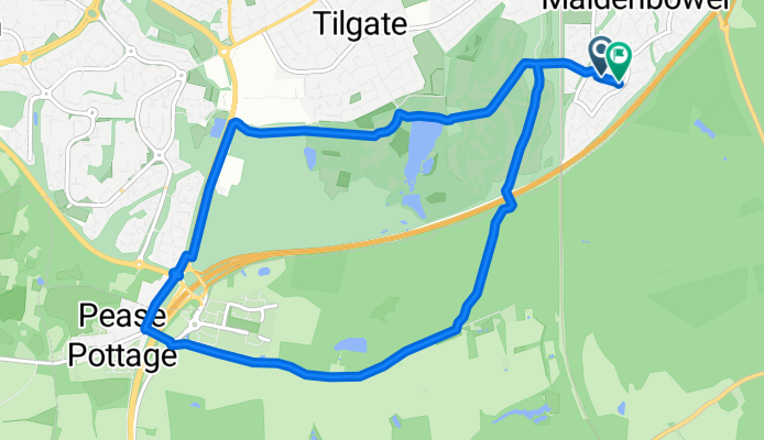
TILGATE WOODS & PEAS POTTAGE
Cycling route in Maidenbower, England, United Kingdom
- 9.8 km
- Distance
- 100 m
- Ascent
- 92 m
- Descent
Discover more routes
- Sunday experiment
- Distance
- 54.1 km
- Ascent
- 404 m
- Descent
- 406 m
- Location
- Maidenbower, England, United Kingdom
- Gare three bridges Redhill
- Distance
- 22.5 km
- Ascent
- 95 m
- Descent
- 84 m
- Location
- Maidenbower, England, United Kingdom
- Crawley to Eastbourne
- Distance
- 75.8 km
- Ascent
- 444 m
- Descent
- 512 m
- Location
- Maidenbower, England, United Kingdom
- Maidenbower Cycling
- Distance
- 7.7 km
- Ascent
- 153 m
- Descent
- 123 m
- Location
- Maidenbower, England, United Kingdom
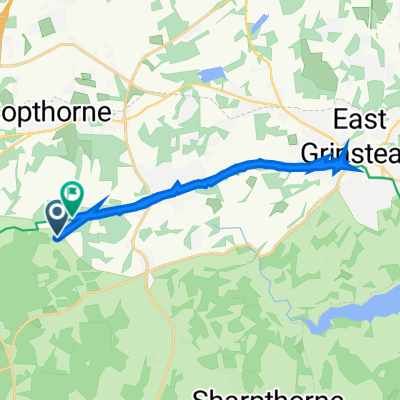
- hallans
- Distance
- 3.7 km
- Ascent
- 13 m
- Descent
- 13 m
- Location
- Maidenbower, England, United Kingdom
- Tilgate
- Distance
- 9.3 km
- Ascent
- 74 m
- Descent
- 74 m
- Location
- Maidenbower, England, United Kingdom
- 2b circuit
- Distance
- 13.4 km
- Ascent
- 97 m
- Descent
- 94 m
- Location
- Maidenbower, England, United Kingdom
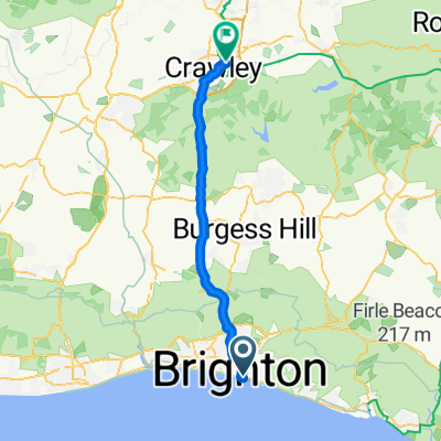
- Ditchling excursion
- Distance
- 50.3 km
- Ascent
- 452 m
- Descent
- 496 m
- Location
- Maidenbower, England, United Kingdom