


Langendorf SO - Brugg + Brugg - Uster / Nossikon
- 167.2 km
- 1,368 m
- 1,399 m
- Langendorf, Canton of Solothurn, Switzerland

Find the right bike route for you through Langendorf, where we've got 339 cycle routes to explore. Most people get on their bikes to ride here in the months of May and July.
Tracked distance
Cycle routes
Population
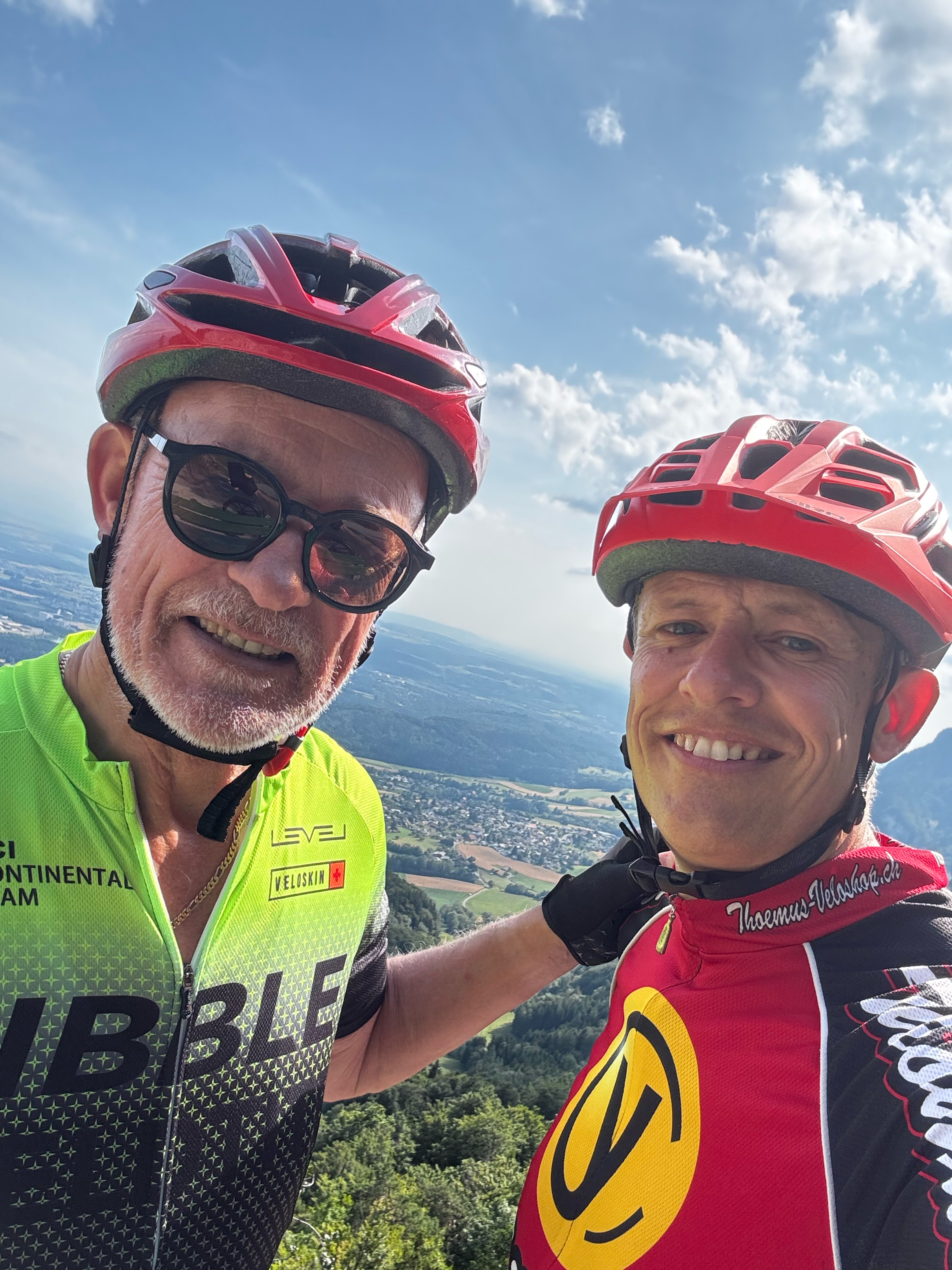
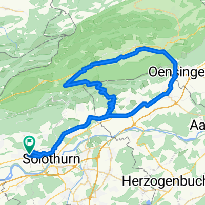
Cycling route in Langendorf, Canton of Solothurn, Switzerland
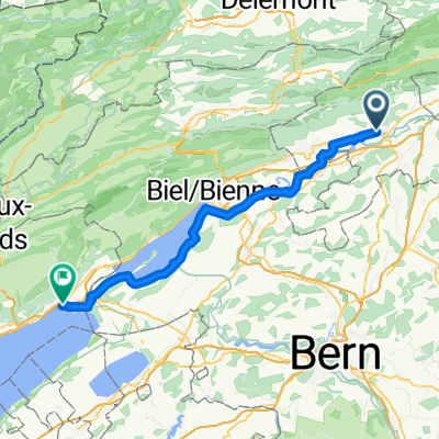
Cycling route in Langendorf, Canton of Solothurn, Switzerland
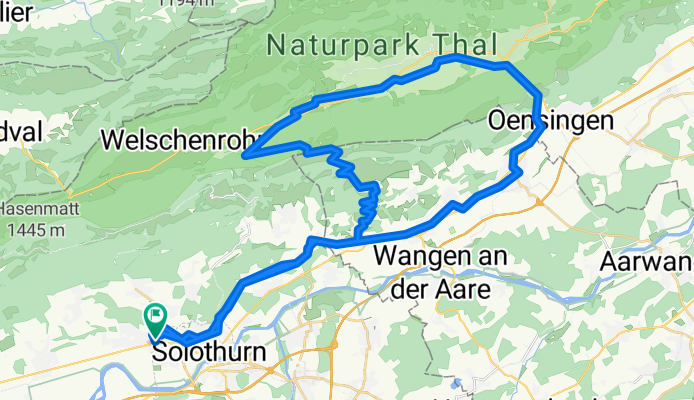
Cycling route in Langendorf, Canton of Solothurn, Switzerland
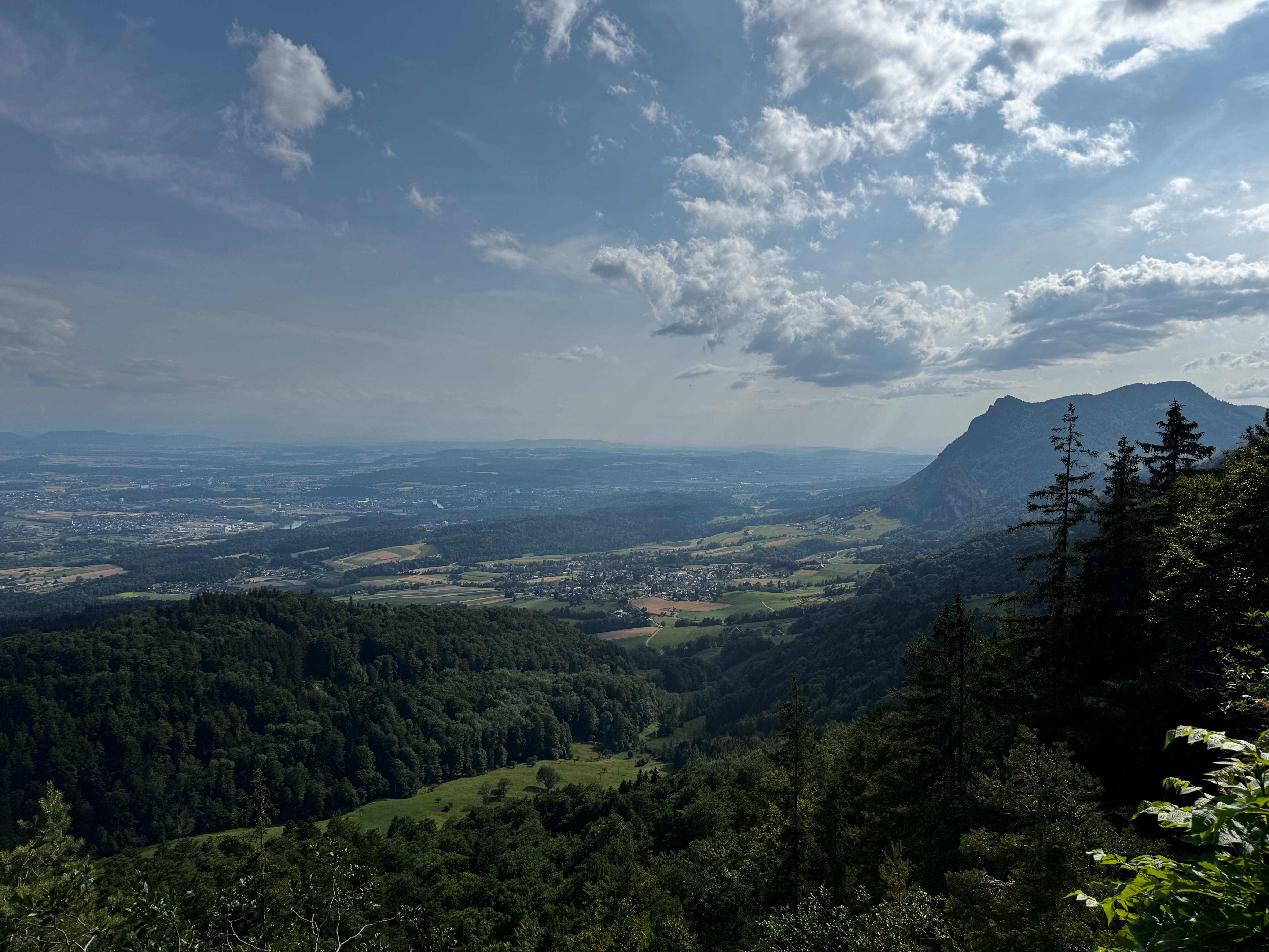
Cycling route in Langendorf, Canton of Solothurn, Switzerland