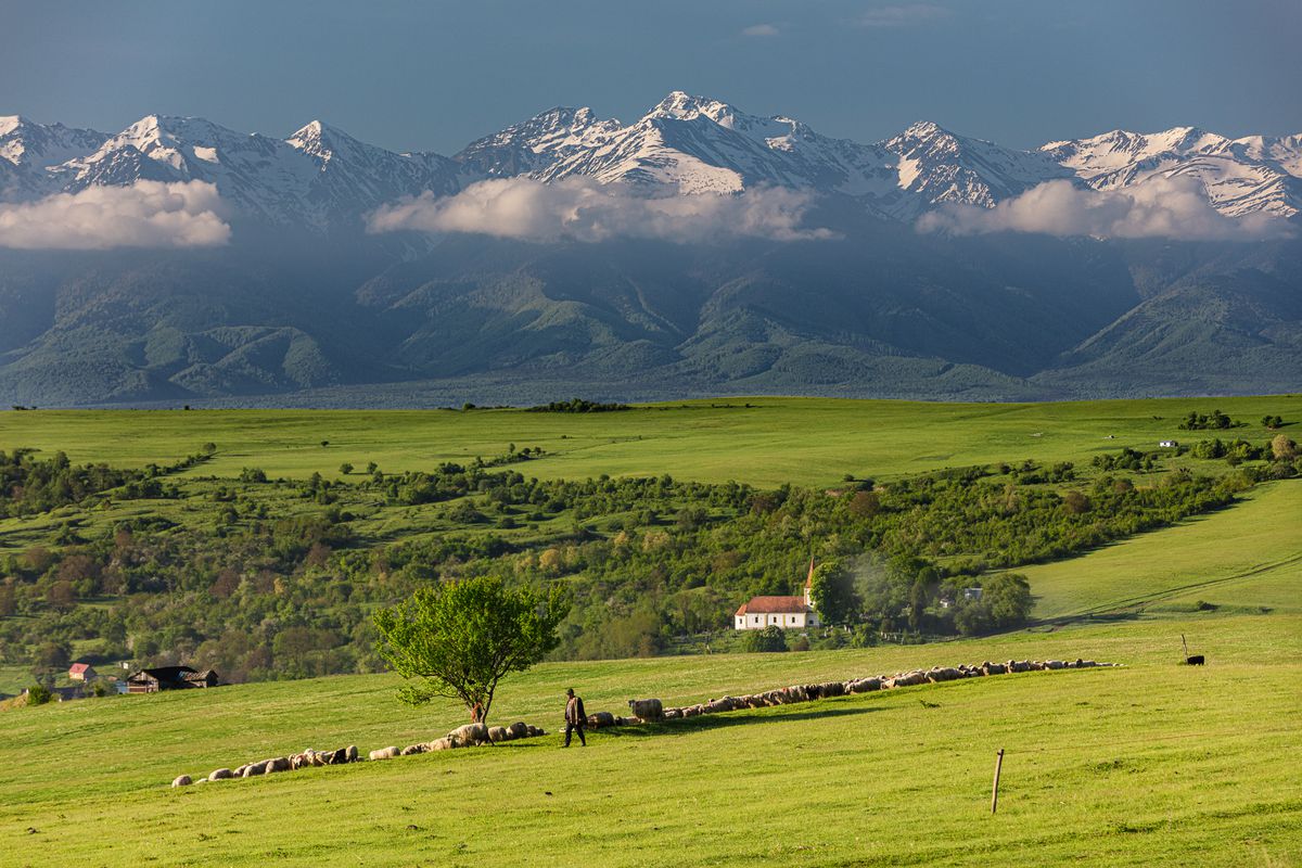
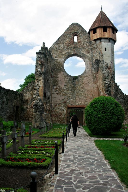
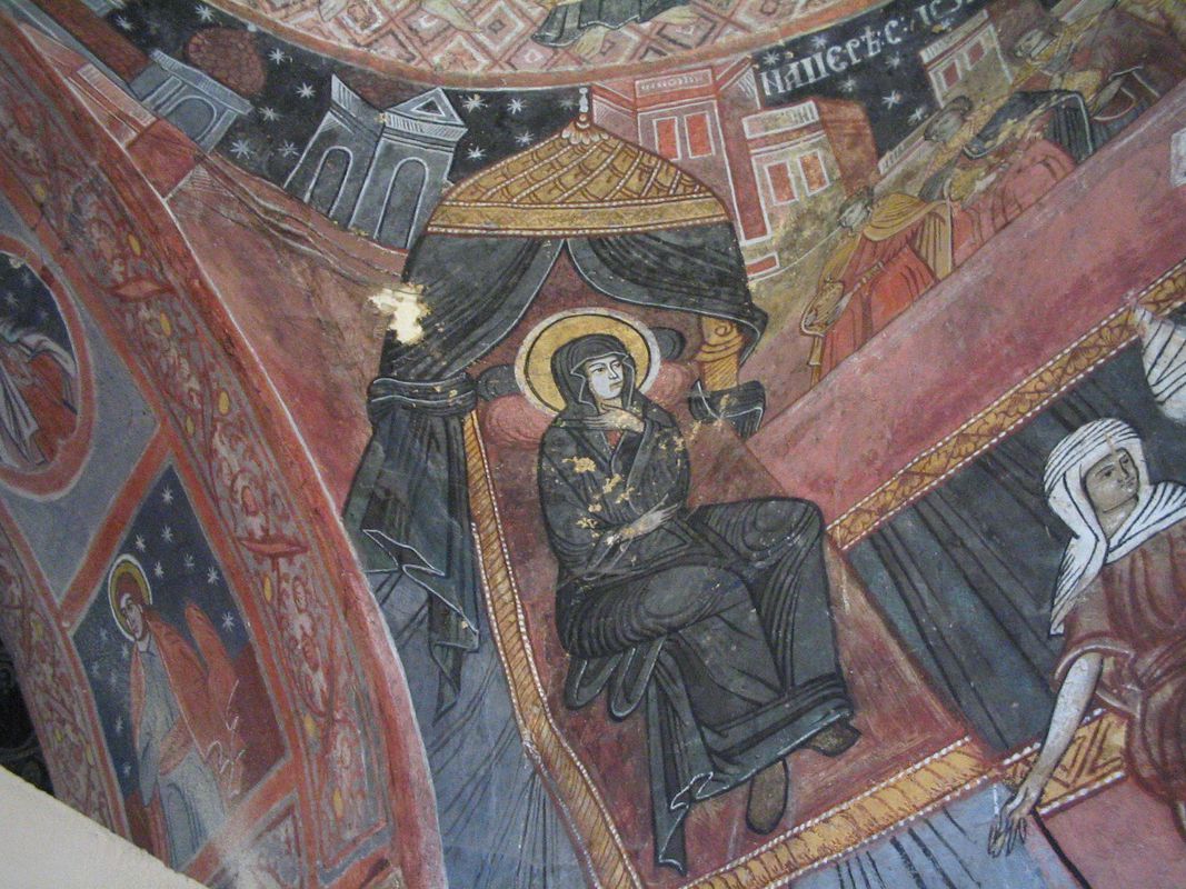
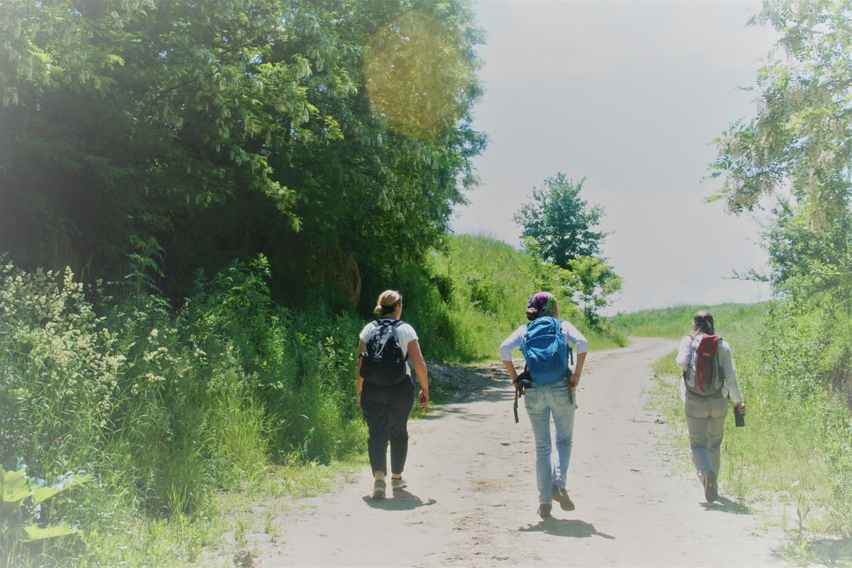
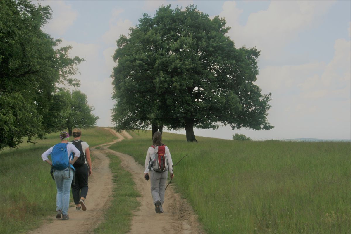
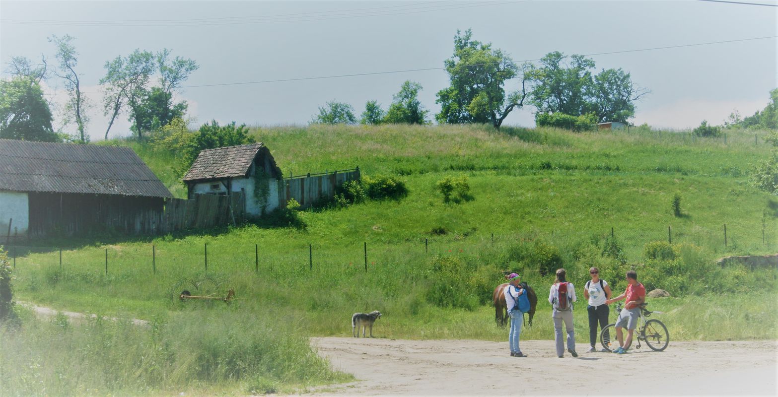
How cycling in Marpod could look like.

Cycling in Marpod

Discover a map of 30 cycling routes and bike trails near Marpod, created by our community.

Region portrait

Get to know Marpod

Find the right bike route for you through Marpod, where we've got 30 cycle routes to explore.

1,228 km

Tracked distance

30

Cycle routes

840

Population

Community

Most active users in Marpod

From our community

The best bike routes in and around Marpod

Hosman-Chirpar-Marpod (biserici fortificate+foto))
MTBUnpavedGravel
2

Hosman-Chirpar-Marpod (biserici fortificate+foto))

Cycling route in Marpod, Sibiu County, Romania
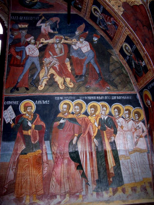
Excelent pentru observarea animalelor salbatice, photo-hunting. Bisericile fortificate de pe traseu sunt interesante, cu turnul Bisericii din Chirpar cel mai inalt de pe Valea Hartibaciului.
49.3 km
Distance
535 m
Ascent
539 m
Descent
Fofeldea - Cârța
MTBUnpavedGravel
Colinele Transilvaniei
1

Fofeldea - Cârța

Cycling route in Marpod, Sibiu County, Romania

Porneşte din centrul satului şi urmează drumul ce iese din sat spre est. Imediat după ieşirea din sat incepe urcarea spre dreapta până în vârful dealului – aici poţi admira munţii Făgăraş. Traversează alt drum de culme şi continuă spre sud până la intrarea în pădure. Părăseşte drumul mai circulat şi coboroară la stânga spre o vale. Revino pe drumul mai circulat, treci o culme mică şi coboară în satul Poieniţa. De aici, ţine drumul principal ce merge în satul Noul Român, traversează un pârâu şi continuă spre dreapta până la ieşirea din sat. Virează dreapta pe o potecă îngustă ce ajunge la râul Olt. Traversează pe un pod îngust şi urca un scurt drum pietruit până la drumul asfaltat. Virează dreapta şi o ajungi în centrul satului Cârţa. Ai parcurs acest traseu ? Dacă ai identificat probleme de acces (marcaje lipsă, deteriorate sau insuficient de clare, secțiuni impracticabile etc) sau ai sugestii pentru îmbunătățirea lor, te rugăm să ne scrii pe colineletransilvaniei@gmail.com. Nu uita să iei un punct GPS și câteva fotografii - ne va ajuta să intervenim mai repede pentru a remedia situația. Start from the center of the village and follow the road that goes outwards to the east. As soon as you exit the village begin climbing right to the top of the hill - here you can admire the Făgăraş mountains. Cross another edge road and continue south until you enter the forest. Leaves the most wandered road and keep left towards a valley. Turn back on the main road, pass a small peak and descend to the village of Poienita. Continue onto the main road going to Nou Român village, cross a creek and continue to the right until you exit the village. Turn right on a narrow trail that reaches the Olt River. Cross a narrow bridge and climb a short paved road leading to the asphalt road. Turn right and head to Cârţa village center. Have you tried this trail? If you have identified access problems (missing, damaged or insufficiently clear markings, inaccessible sections etc.) or have suggestions for their improvement, please write to us at transylvanianhighlands@gmail.com. Don't forget to take a GPS point and a few photos - it will help us to intervene faster to fix the situation.
11 km
Distance
483 m
Ascent
69 m
Descent
Fofeldea - Săsăsuş
MTBUnpaved
Colinele Transilvaniei
1

Fofeldea - Săsăsuş

Cycling route in Marpod, Sibiu County, Romania
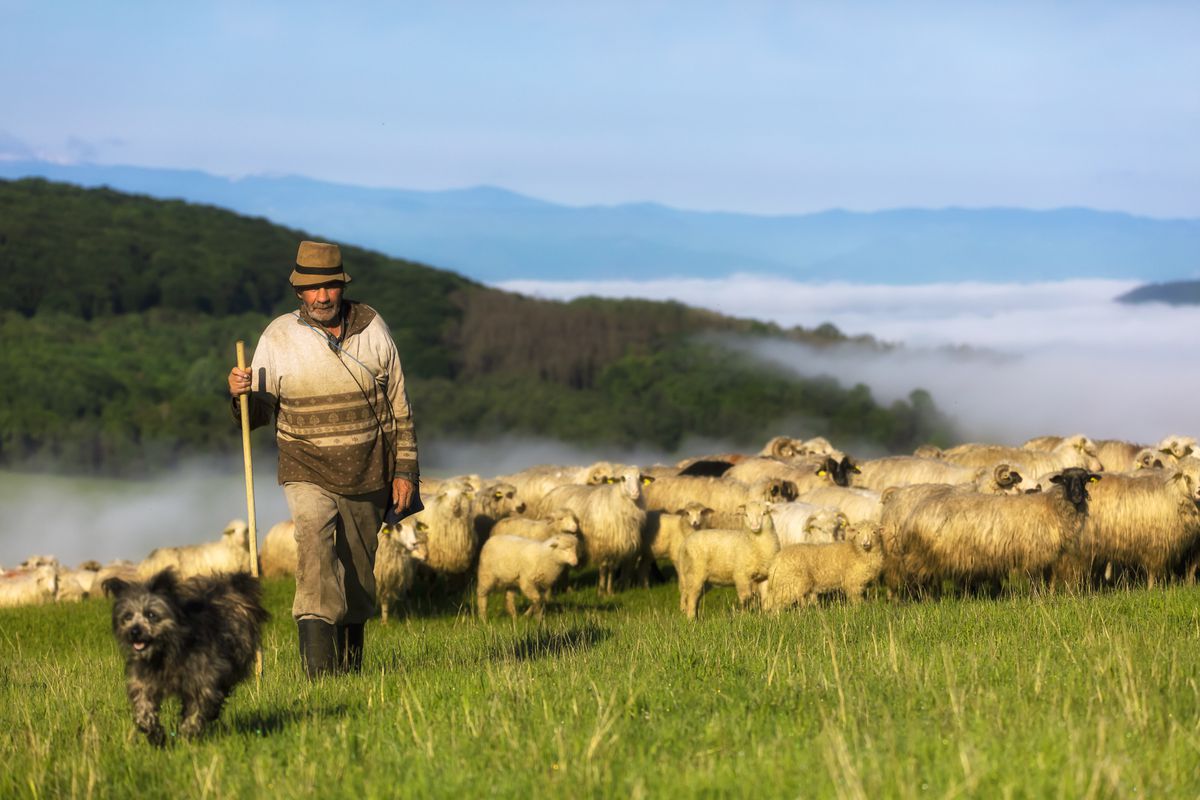
Porneşte din centrul satului Fofeldea şi urmează drumul ce urcă uşor pe direcţia est. Ieşi din sat pe un drum de pământ şi continuă până intri pe un drum de muchie. Continuă spre est ţinând muchia principală puţin spre dreapta până ce intri în pădure. De aici urmează un drum larg ce continuă prin pădure, lăsând pe alocuri drumuri care coboară dreapt şi stânga. Ţine drumul până la ieşire din pădure, unde întâlneşti un loc de popas cu masă şi bănci acoperite. Continuă pe drumul de muchie care coboară în valea Ilimbavului ce duce în satul Săsăuş. Ai parcurs acest traseu ? Dacă ai identificat probleme de acces (marcaje lipsă, deteriorate sau insuficient de clare, secțiuni impracticabile etc) sau ai sugestii pentru îmbunătățirea lor, te rugăm să ne scrii pe colineletransilvaniei@gmail.com. Nu uita să iei un punct GPS și câteva fotografii - ne va ajuta să intervenim mai repede pentru a remedia situația. Start from the center of the village of Fofeldea and follow the road that climbs slightly to the east. Exit the village on a dirt road and continue until you enter an edge road. Head east holding the main edge, that keeps a little to the right until you enter the forest. From here follow a wide road that continues through the forest, leaving some down roads right and left. Keep the road up to the exit of the woods, where you will find a stopping place with table and covered benches. Continue on the edge road that goes down the valley of Ilimbav to the village of Săsăuş. Did you travel this route? If you have identified access problems (missing, damaged or insufficiently clear markings, inaccessible sections etc.) or have suggestions for their improvement, please write to us at transylvanianhighlands@gmail.com. Don't forget to take a GPS point and a few photos - it will help us to intervene faster to fix the situation.
9.5 km
Distance
663 m
Ascent
701 m
Descent
Fofeldea Hosman
MTBUnpaved
Colinele Transilvaniei
0

Fofeldea Hosman

Cycling route in Marpod, Sibiu County, Romania
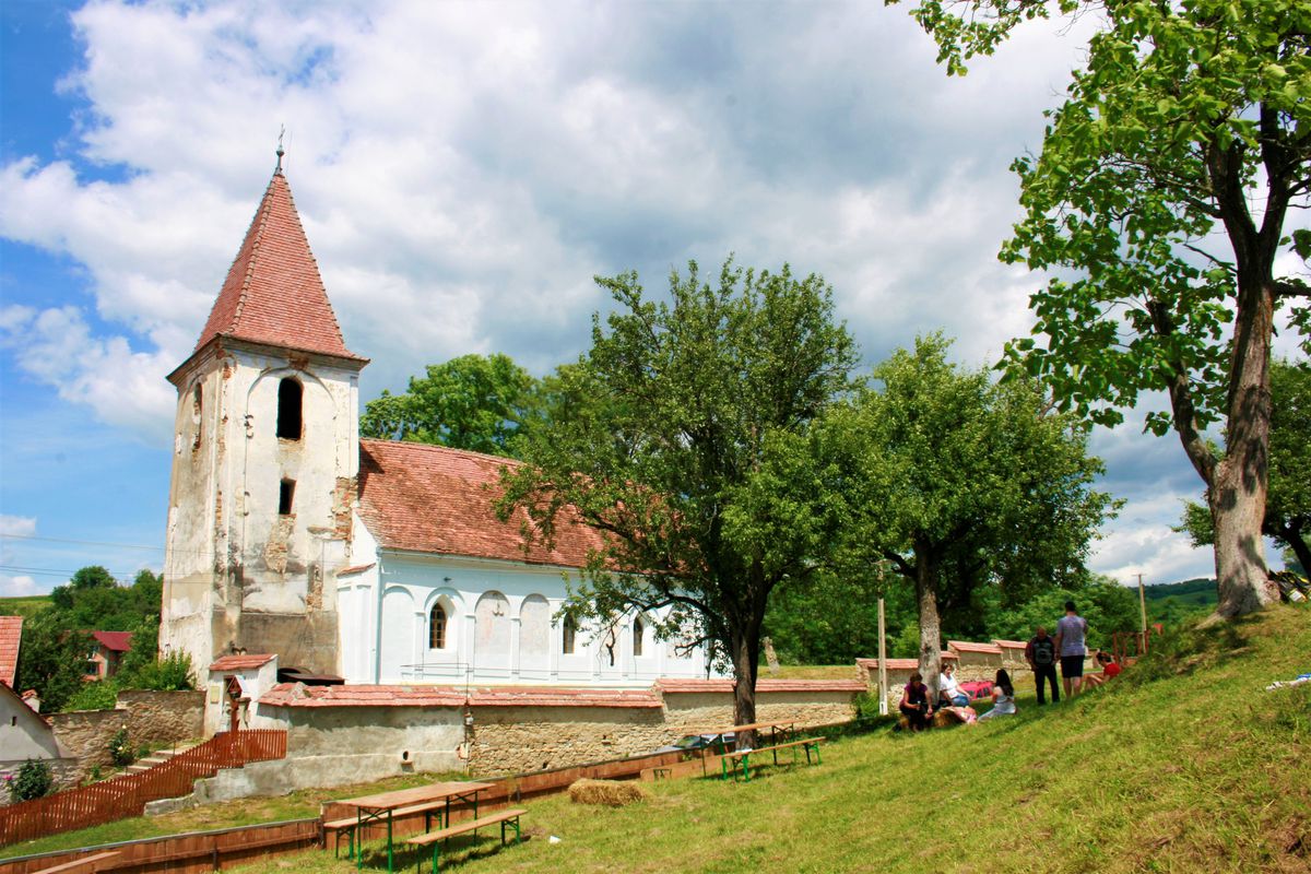
Porneşte din centrul satului urcând spre vest pe drumul ce merge pe lângă biserica ortodoxă. Continuă într-o urcare accentuată ieşind din sat spre culmea dealului Curmăturii (aici se poate admira întreaga creastă a munţilor Făgăraş). Intră în pădure şi continuă spre vest pe culmea dealului Nucului, lăsând în stânga drumurile ce coboară spre satul Colun, respectiv Glâmboaca. După traversarea unei zone împădurite ajungi pe zona de lizieră a pădurii, având în stânga o păşune în formă de amfiteatru împrejmuită cu gard. Aici vei întâlni marcajul cruce roşie. Continuă spre nord traversând pădurea. La ieşirea din pădure, treci pe lângă un loc de popas amenajat şi continuă pe culmea Dealului Cocoşului coborând constant până în satul Hosman. Ai parcurs acest traseu ? Dacă ai identificat probleme de acces (marcaje lipsă, deteriorate sau insuficient de clare, secțiuni impracticabile etc) sau ai sugestii pentru îmbunătățirea lor, te rugăm să ne scrii pe colineletransilvaniei@gmail.com. Nu uita să iei un punct GPS și câteva fotografii - ne va ajuta să intervenim mai repede pentru a remedia situația. Start from the center of the village and head west on the road that runs alongside the Orthodox church. Continue in a steep climb, going out of the village towards the hilltop (Dealul Curmăturii- here you can admire the entire ridge of the Fagaras mountains). Enter the forest and continue westward on the hillside leaving the roads to Colun and Glâmboaca villages to the left. After crossing a wooded area you reach the forest edge – at your left, notice an amphitheater-shaped pasture surrounded by a fence. Here you will notice the red cross marking. Continue north across the forest, you pass by a stopping place and continue on the hilltop (Dealul Cocoşului) and descend to the village of Hosman. Have you traveled this route? If you have identified access problems (missing, damaged or insufficiently clear markings, impassable sections, etc.) or have suggestions for their improvement, please contact the Colinele Transilvaniei / Transylvanian Highlands destination management unit (email at transylvanianhighlands@gmail.com or private message on FB or Instagram at @transylvanianhighlands). Don't forget to take a GPS point and some photos – they will be helpful for faster intervention and troubleshooting.
10.8 km
Distance
234 m
Ascent
132 m
Descent

Discover more routes