
Cycling in Dorna Cândrenilor
Discover a map of 32 cycling routes and bike trails near Dorna Cândrenilor, created by our community.
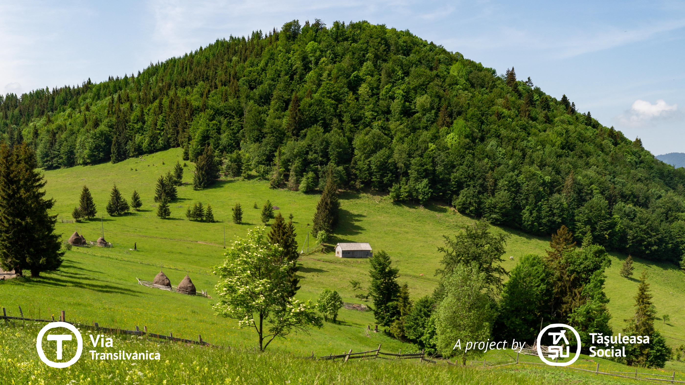
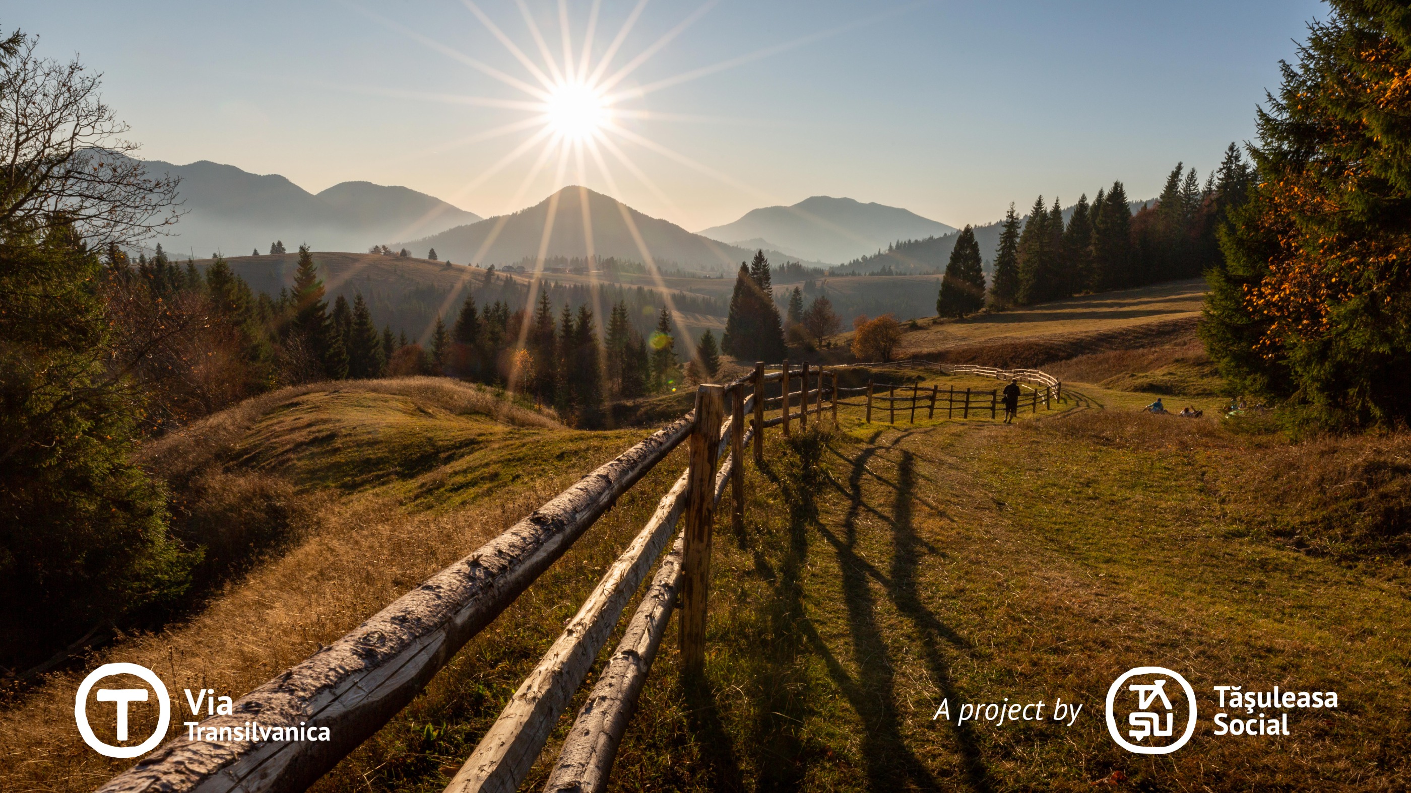
Region portrait
Get to know Dorna Cândrenilor
Find the right bike route for you through Dorna Cândrenilor, where we've got 32 cycle routes to explore. Most people get on their bikes to ride here in the month of August.
2,706 km
Tracked distance
32
Cycle routes
4,650
Population
Community
Most active users in Dorna Cândrenilor


Handpicked routes
Discover Dorna Cândrenilor through these collections
From our community
The best bike routes in and around Dorna Cândrenilor


Via Transilvanica, Section 2: Highlands (official)
Cycling route in Dorna Cândrenilor, Suceava, Romania
- 232.3 km
- Distance
- 5,900 m
- Ascent
- 6,169 m
- Descent

Tataru - Batca Rosie
Cycling route in Dorna Cândrenilor, Suceava, Romania
- 59.1 km
- Distance
- 426 m
- Ascent
- 453 m
- Descent


Via Transilvanica - Ținutul de Sus
Cycling route in Dorna Cândrenilor, Suceava, Romania
- 226.9 km
- Distance
- ---
- Ascent
- ---
- Descent
Discover more routes
 Poiana Negrii - Colibita
- Distance
- 51.1 km
- Ascent
- 805 m
- Descent
- 918 m
- Location
- Dorna Cândrenilor, Suceava, Romania
 Candreni 2
- Distance
- 14.6 km
- Ascent
- 196 m
- Descent
- 195 m
- Location
- Dorna Cândrenilor, Suceava, Romania
 Calimani
- Distance
- 56.2 km
- Ascent
- 1,945 m
- Descent
- 1,945 m
- Location
- Dorna Cândrenilor, Suceava, Romania
 VT - Ziua 4 - Poiana Negrii - Lunca Ilvei - Tasuleasa Social
- Distance
- 45 km
- Ascent
- 1,257 m
- Descent
- 1,123 m
- Location
- Dorna Cândrenilor, Suceava, Romania
 Tura Rarau
- Distance
- 111.2 km
- Ascent
- 1,313 m
- Descent
- 1,327 m
- Location
- Dorna Cândrenilor, Suceava, Romania
 Calimani
- Distance
- 56.2 km
- Ascent
- 1,265 m
- Descent
- 1,264 m
- Location
- Dorna Cândrenilor, Suceava, Romania
 traseu1
- Distance
- 18.2 km
- Ascent
- 586 m
- Descent
- 577 m
- Location
- Dorna Cândrenilor, Suceava, Romania
 Dorna - Borsa
- Distance
- 96.4 km
- Ascent
- 671 m
- Descent
- 822 m
- Location
- Dorna Cândrenilor, Suceava, Romania