
Cycling in Tatariv
Discover a map of 76 cycling routes and bike trails near Tatariv, created by our community.
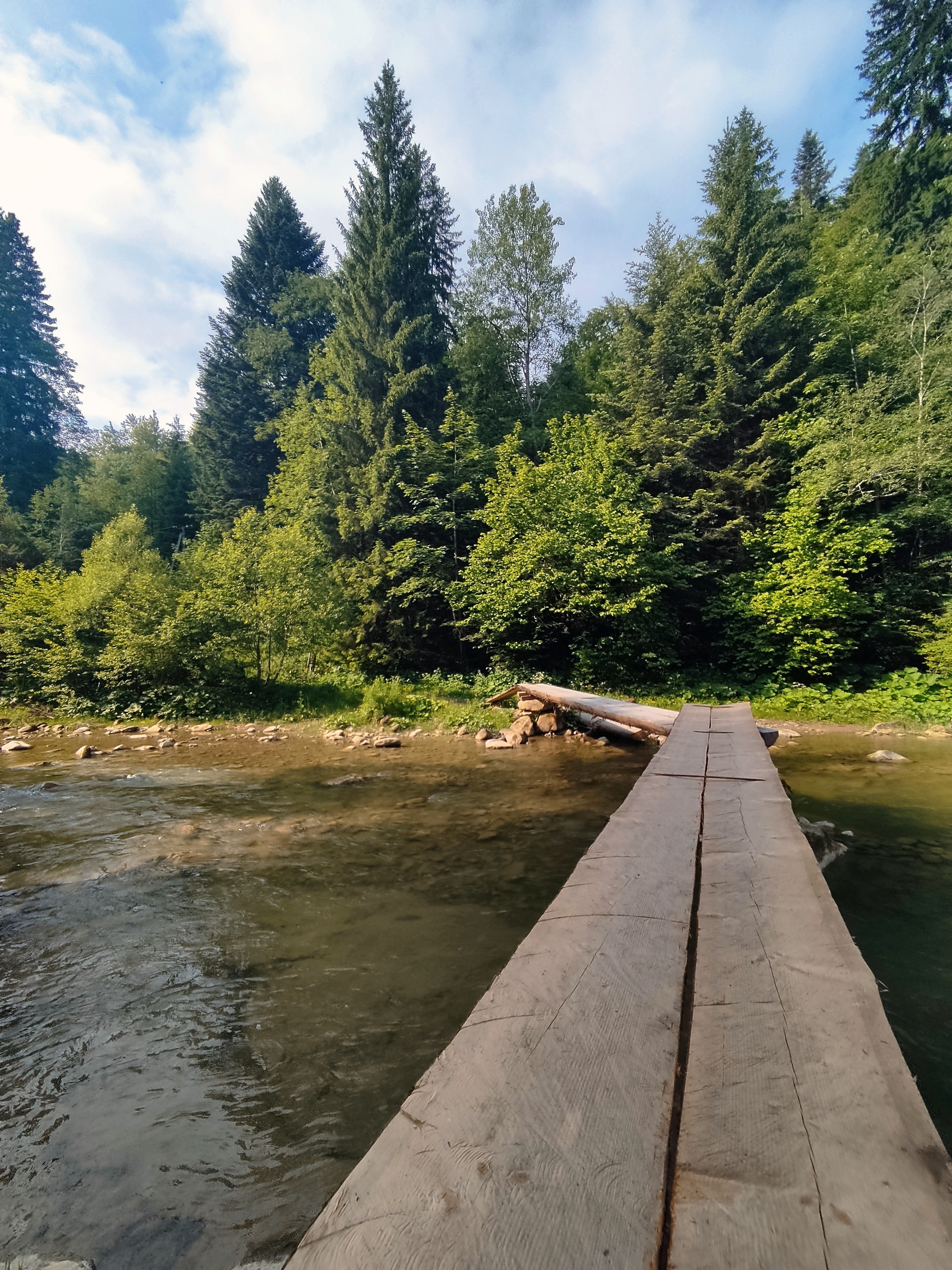
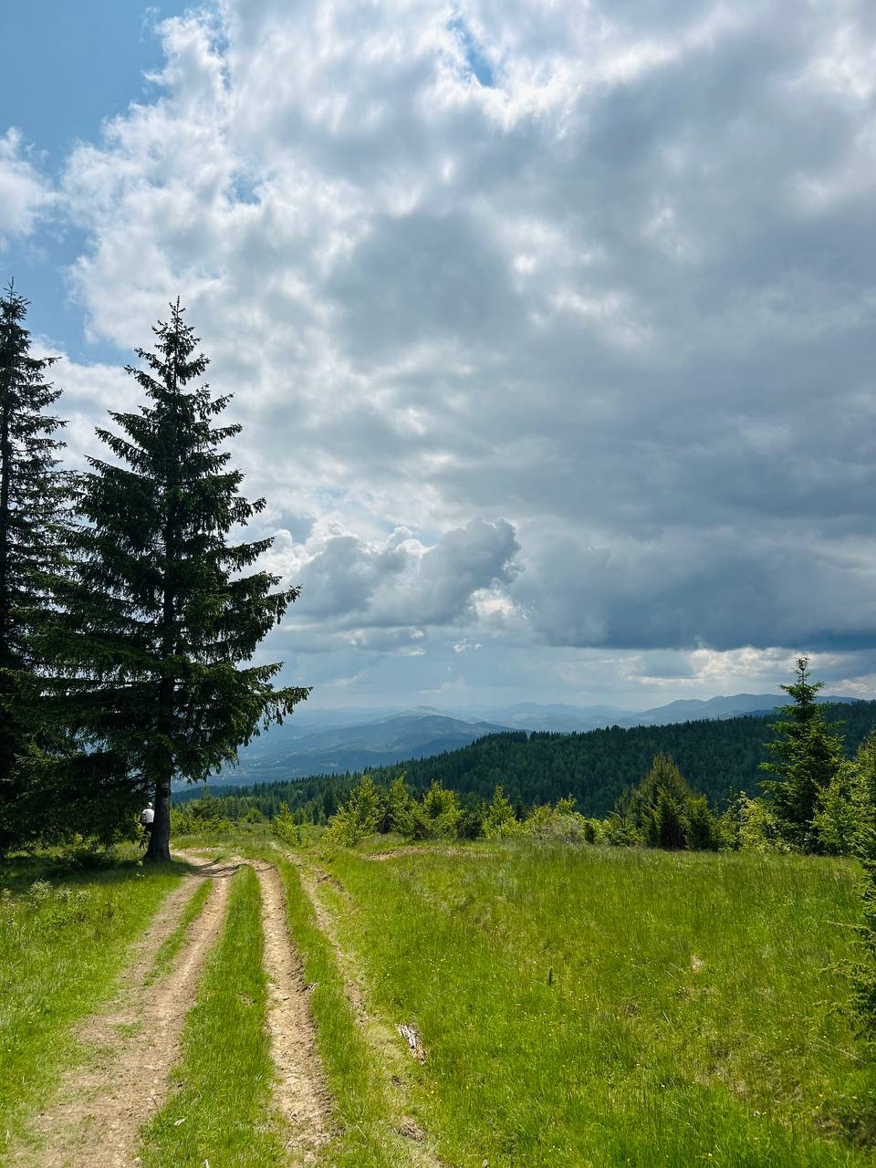
Region portrait
Get to know Tatariv
Find the right bike route for you through Tatariv, where we've got 76 cycle routes to explore. Most people get on their bikes to ride here in the months of June and August.
3,419 km
Tracked distance
76
Cycle routes
1,508
Population
From our community
The best bike routes in and around Tatariv
Сarpathian peaks. Route 2.
Cycling route in Tatariv, Ivano-Frankivsk Oblast, Ukraine
<span style="font-family: Symbol; mso-fareast-font-family: Symbol; mso-bidi-font-family: Symbol; color: black; mso-ansi-language: EN-US; mso-fareast-language: RU;" lang="EN-US"><span style="mso-list: Ignore;">·<span style="font: 7.0pt "Times New Roman";"> </span></span></span><span style="mso-fareast-font-family: "Times New Roman"; mso-bidi-font-family: "Times New Roman"; color: black; mso-ansi-language: EN-US; mso-fareast-language: RU;" lang="EN-US">Huk waterfall.</span><span style="mso-fareast-font-family: "Times New Roman"; mso-bidi-font-family: "Times New Roman"; color: black; mso-fareast-language: RU;"> </span><span style="mso-fareast-font-family: "Times New Roman"; mso-bidi-font-family: "Times New Roman"; color: black; mso-ansi-language: EN-US; mso-fareast-language: RU;" lang="EN-US">Almost every third
waterfall in the Carpathians is called Huk (may be translated as “loud”). So
let’s call this particular one situated at the distance of several km from
Mykulychyn Huk Zhenetskyi as this turbulent 15m-high waterfall is situated on
the Zhenets river. <span style="mso-spacerun: yes;"> </span><span style="mso-spacerun: yes;"> </span></span>
<span style="font-family: Symbol; mso-fareast-font-family: Symbol; mso-bidi-font-family: Symbol; color: black; mso-ansi-language: EN-US; mso-fareast-language: RU;" lang="EN-US"><span style="mso-list: Ignore;">·<span style="font: 7.0pt "Times New Roman";"> </span></span></span><span style="mso-fareast-font-family: "Times New Roman"; mso-bidi-font-family: "Times New Roman"; color: black; mso-ansi-language: EN-US; mso-fareast-language: RU;" lang="EN-US">Railway arched bridge
(viaduct). One of the oldest and the longest stone arched bridges of Europe is
situated in Vorokhta (130 m) and the length of one of the arches is 65 m. This
famous railway bridge was built in 1894 and operated till 2000. There is also
one of the oldest 17<sup>th</sup>-century wooden churches – the church of St.
Virgin’s Nativity preserved in Vorokhta. </span>
<span style="font-family: Symbol; mso-fareast-font-family: Symbol; mso-bidi-font-family: Symbol; color: black; mso-ansi-language: EN-US; mso-fareast-language: RU;" lang="EN-US"><span style="mso-list: Ignore;">·<span style="font: 7.0pt "Times New Roman";"> </span></span></span><span style="mso-fareast-font-family: "Times New Roman"; mso-bidi-font-family: "Times New Roman"; color: black; mso-ansi-language: EN-US; mso-fareast-language: RU;" lang="EN-US">Yablunytskyi pass (Tatarsky
pass) – 931 m above the sea. Here you’ll visit the souvenir market known not
only in the Carpathians but in the whole Ukraine. In Tatariv we will stop at
the monument of the period of World War I.</span>
- 60.1 km
- Distance
- 621 m
- Ascent
- 621 m
- Descent
Carpathian Peaks. Route 1.
Cycling route in Tatariv, Ivano-Frankivsk Oblast, Ukraine
<span style="mso-fareast-font-family: "Times New Roman"; mso-bidi-font-family: "Times New Roman"; color: black; mso-ansi-language: EN-US; mso-fareast-language: RU;" lang="EN-US">The most interesting place in
Yaremche is the 8m-high waterfall “Probii” with a footbridge over the river
Prut above it. On one side of the bridge there is a souvenir market with the
masterpieces of the hutsulian handicraft. From the outskirts of the village it
is easy to get to the rocks of Oleksa Dovbush (huge rocks and stones reminding
the mysterious creatures) along the path that bears his name. </span>
- 26.4 km
- Distance
- 368 m
- Ascent
- 369 m
- Descent
Татарів - Буковель - Бистриця - Надвірна
Cycling route in Tatariv, Ivano-Frankivsk Oblast, Ukraine
- 74.3 km
- Distance
- 1,339 m
- Ascent
- 1,590 m
- Descent
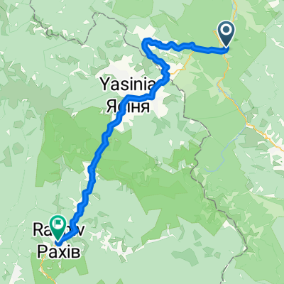
Татарів-Буковель-Рахів
Cycling route in Tatariv, Ivano-Frankivsk Oblast, Ukraine
Карпати
- 68.5 km
- Distance
- 508 m
- Ascent
- 749 m
- Descent
Discover more routes
- Пшк 2012-08-18 Микулич-Космач 40км
- Distance
- 39.8 km
- Ascent
- 1,067 m
- Descent
- 1,040 m
- Location
- Tatariv, Ivano-Frankivsk Oblast, Ukraine
- Khomiak by bike
- Distance
- 38.6 km
- Ascent
- 1,778 m
- Descent
- 1,944 m
- Location
- Tatariv, Ivano-Frankivsk Oblast, Ukraine
- Carpathian peaks. Mt.Lisniv - Mykulychyn
- Distance
- 41.7 km
- Ascent
- 855 m
- Descent
- 1,501 m
- Location
- Tatariv, Ivano-Frankivsk Oblast, Ukraine
- Микуличин-Явірник-Яремче
- Distance
- 19.5 km
- Ascent
- 958 m
- Descent
- 1,031 m
- Location
- Tatariv, Ivano-Frankivsk Oblast, Ukraine
- Татарів - Микуличин - Космач - Шепіт - Білоберізка
- Distance
- 86.2 km
- Ascent
- 1,640 m
- Descent
- 1,869 m
- Location
- Tatariv, Ivano-Frankivsk Oblast, Ukraine
- Микуличин - Костел - Рокита - Яремча - Делятин
- Distance
- 41.4 km
- Ascent
- 664 m
- Descent
- 815 m
- Location
- Tatariv, Ivano-Frankivsk Oblast, Ukraine
- Микуличин-Манява
- Distance
- 57.9 km
- Ascent
- 1,675 m
- Descent
- 1,762 m
- Location
- Tatariv, Ivano-Frankivsk Oblast, Ukraine
- Татарів-Верховина )Жаб'є(-Вижниця (День 1. День 2)
- Distance
- 90 km
- Ascent
- 1,532 m
- Descent
- 1,883 m
- Location
- Tatariv, Ivano-Frankivsk Oblast, Ukraine