


Sawyer Camp Trail, Burlingame to Sawyer Camp Trail, Burlingame
- 16.9 km
- 485 m
- 483 m
- Highlands-Baywood Park, California, United States

Discover a map of 158 cycling routes and bike trails near Highlands-Baywood Park, created by our community.
Region portrait
Find the right bike route for you through Highlands-Baywood Park, where we've got 158 cycle routes to explore. Most people get on their bikes to ride here in the months of April and July.
4,161 km
Tracked distance
158
Cycle routes
4,027
Population
Community
From our community
Cycling route in Highlands-Baywood Park, California, United States
Cycling route in Highlands-Baywood Park, California, United States
Cycling route in Highlands-Baywood Park, California, United States

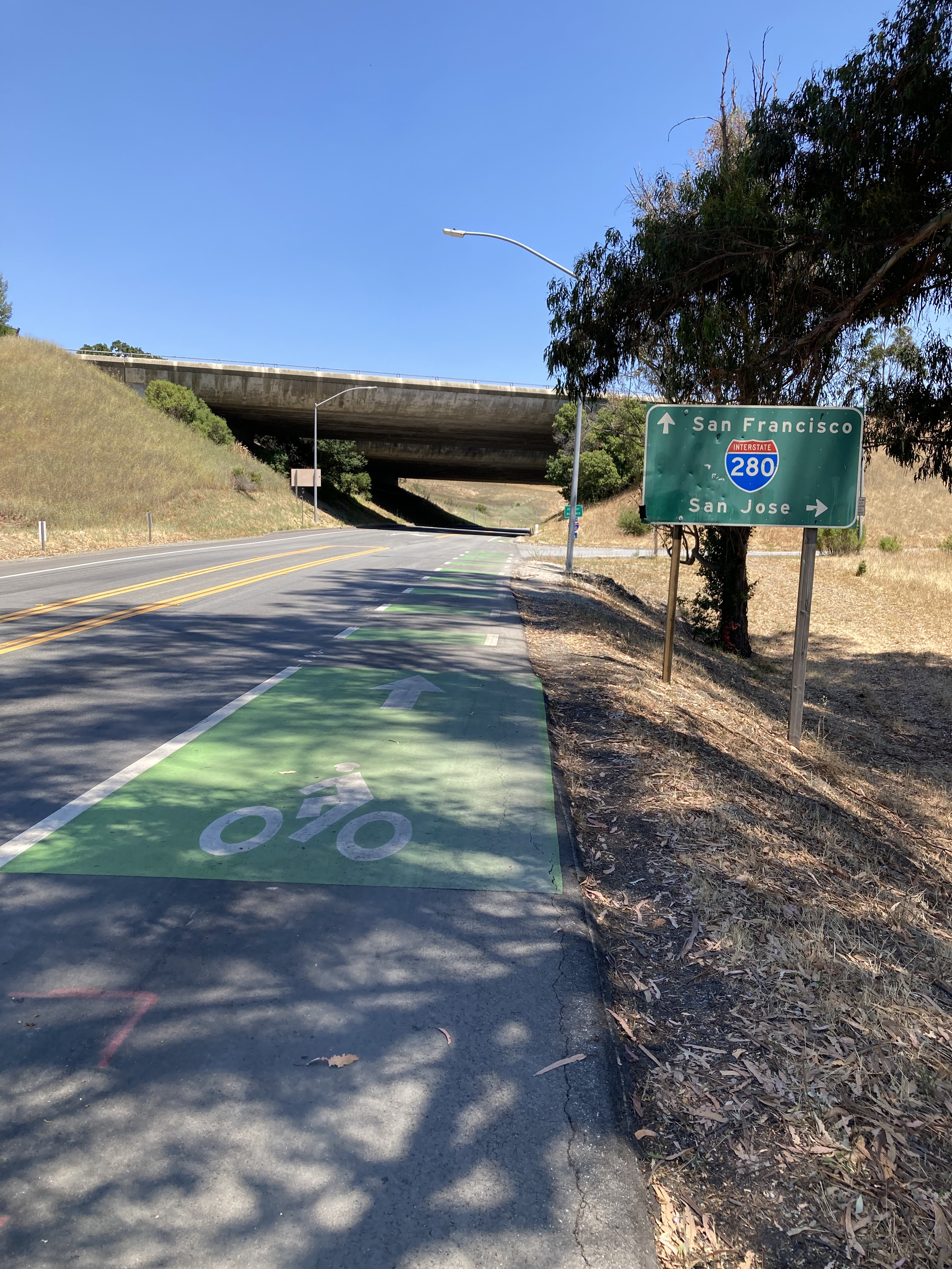
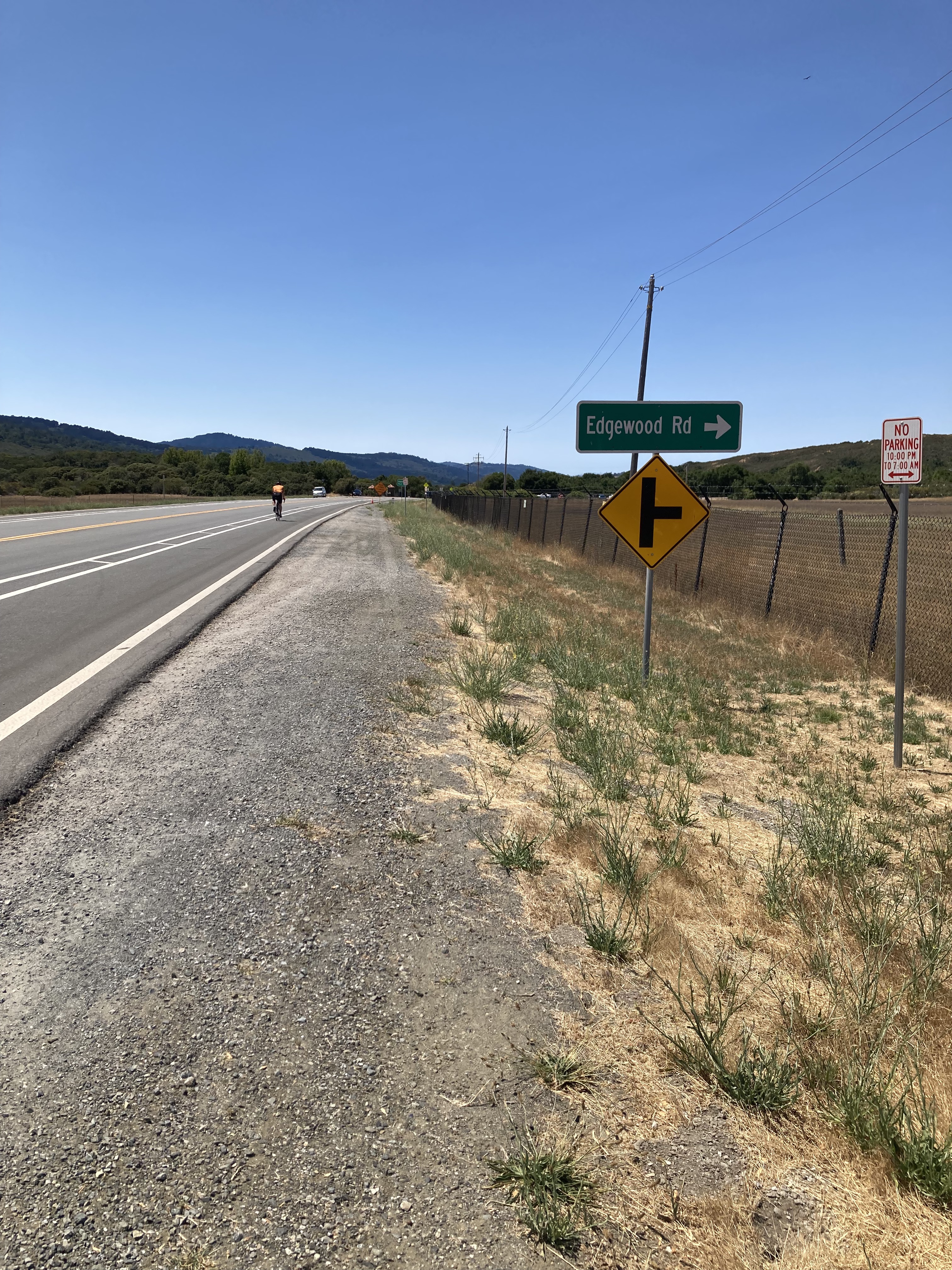
Cycling route in Highlands-Baywood Park, California, United States


