Przemyśl-Ukraina-Bieszczady-Beskid_Niski_Sądecki TOUR - ??
- 581.8 km
- 2,914 m
- 2,413 m
- Przemyśl, Subcarpathian Voivodeship, Poland

Find the right bike route for you through Przemyśl, where we've got 1,382 cycle routes to explore. Most people get on their bikes to ride here in the months of June and July.
Tracked distance
Cycle routes
Population
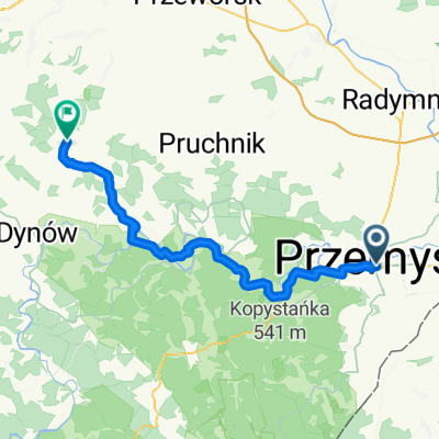
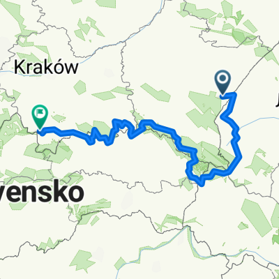
Cycling route in Przemyśl, Subcarpathian Voivodeship, Poland
Cycling route in Przemyśl, Subcarpathian Voivodeship, Poland
Cycling route in Przemyśl, Subcarpathian Voivodeship, Poland
Cycling route in Przemyśl, Subcarpathian Voivodeship, Poland