
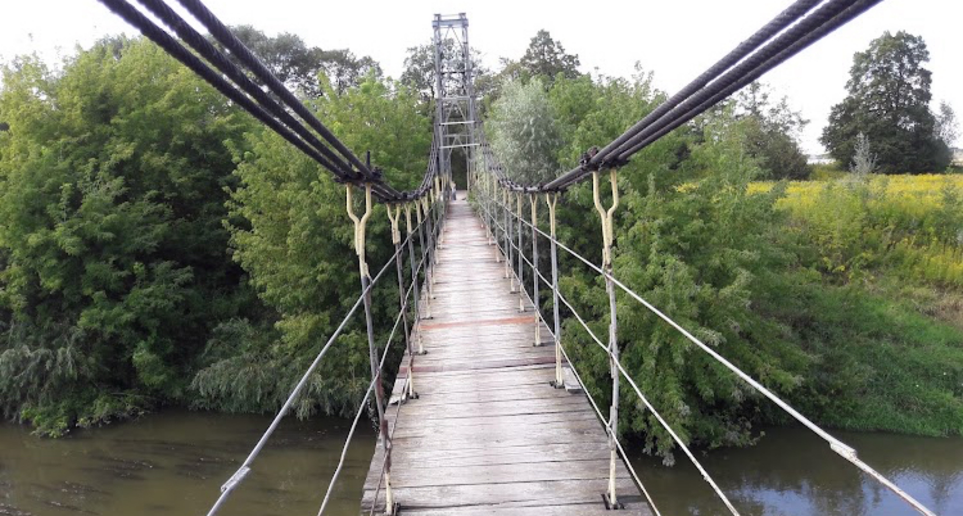
Cycling in Łańcut
Discover a map of 330 cycling routes and bike trails near Łańcut, created by our community.
Region portrait
Get to know Łańcut
Find the right bike route for you through Łańcut, where we've got 330 cycle routes to explore. Most people get on their bikes to ride here in the months of May and June.
25,959 km
Tracked distance
330
Cycle routes
18,266
Population


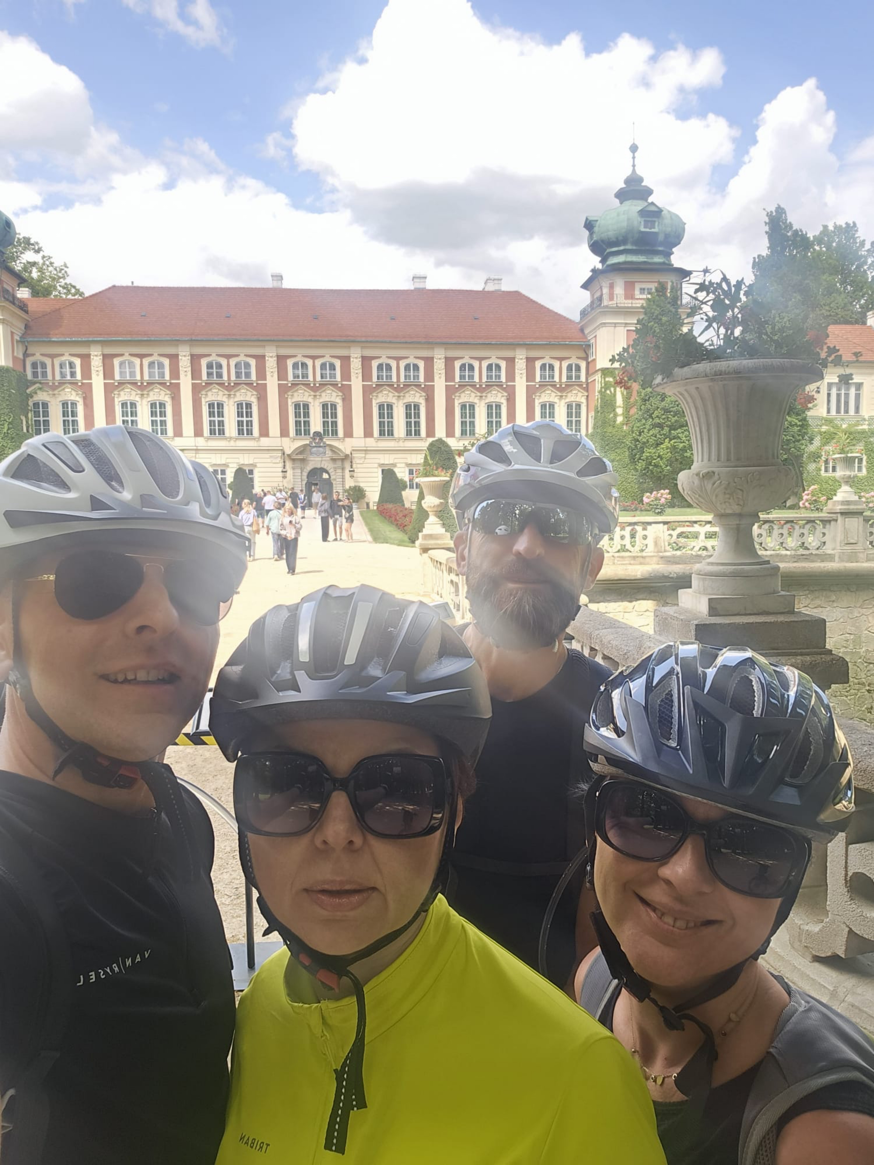
From our community
The best bike routes in and around Łańcut

Łańcut do Ks J Forysiewicza, Głogów Małopolski
Cycling route in Łańcut, Subcarpathian Voivodeship, Poland
- 32.5 km
- Distance
- 148 m
- Ascent
- 158 m
- Descent
MTB Łańcut 2018
Cycling route in Łańcut, Subcarpathian Voivodeship, Poland
- 53.2 km
- Distance
- 691 m
- Ascent
- 691 m
- Descent

Siódma duża trasa 2013
Cycling route in Łańcut, Subcarpathian Voivodeship, Poland
- 104.5 km
- Distance
- 745 m
- Ascent
- 740 m
- Descent

I Łańcucki Maraton Kolarski MTB
Cycling route in Łańcut, Subcarpathian Voivodeship, Poland
- 44.4 km
- Distance
- 449 m
- Ascent
- 450 m
- Descent
Discover more routes
 Bieszczady 2012 - Majówka
- Distance
- 333.4 km
- Ascent
- 1,504 m
- Descent
- 1,536 m
- Location
- Łańcut, Subcarpathian Voivodeship, Poland
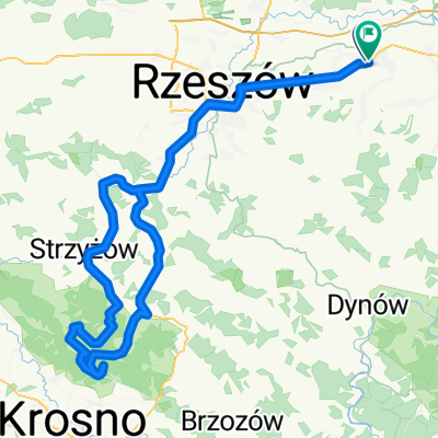
 Łańcut-Gorzejowa
- Distance
- 78.6 km
- Ascent
- 608 m
- Descent
- 465 m
- Location
- Łańcut, Subcarpathian Voivodeship, Poland
 Kraczkowa Krasne s19 a4 Łańcut 15 IX 2013
- Distance
- 43.2 km
- Ascent
- 114 m
- Descent
- 115 m
- Location
- Łańcut, Subcarpathian Voivodeship, Poland
 bonnesoiree07072015
- Distance
- 57.1 km
- Ascent
- 658 m
- Descent
- 655 m
- Location
- Łańcut, Subcarpathian Voivodeship, Poland
 Na niedzielę
- Distance
- 125 km
- Ascent
- 780 m
- Descent
- 815 m
- Location
- Łańcut, Subcarpathian Voivodeship, Poland
 Standardzik na 30 km
- Distance
- 31.7 km
- Ascent
- 178 m
- Descent
- 178 m
- Location
- Łańcut, Subcarpathian Voivodeship, Poland
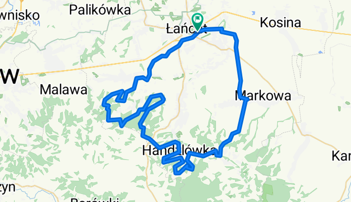
 Sonina Markowa Hubert Zabratówka Handzlówka
- Distance
- 46.4 km
- Ascent
- 436 m
- Descent
- 435 m
- Location
- Łańcut, Subcarpathian Voivodeship, Poland
 Sucha Góra - planowana
- Distance
- 142.2 km
- Ascent
- 678 m
- Descent
- 687 m
- Location
- Łańcut, Subcarpathian Voivodeship, Poland