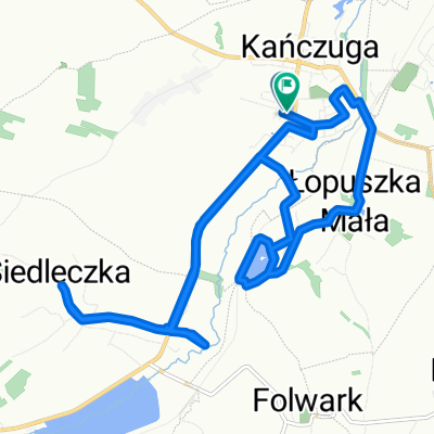
Wolności do Wolności
- 15.9 km
- 204 m
- 251 m
- Kańczuga, Subcarpathian Voivodeship, Poland

Discover a map of 576 cycling routes and bike trails near Kańczuga, created by our community.
Region portrait
Find the right bike route for you through Kańczuga, where we've got 576 cycle routes to explore. Most people get on their bikes to ride here in the months of August and September.
36,660 km
Tracked distance
576
Cycle routes
3,186
Population
Community
Handpicked routes
From our community


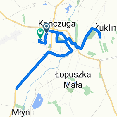
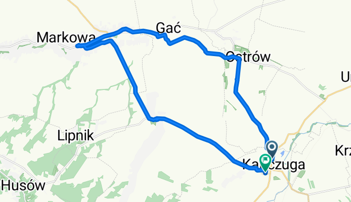
Cycling route in Kańczuga, Subcarpathian Voivodeship, Poland


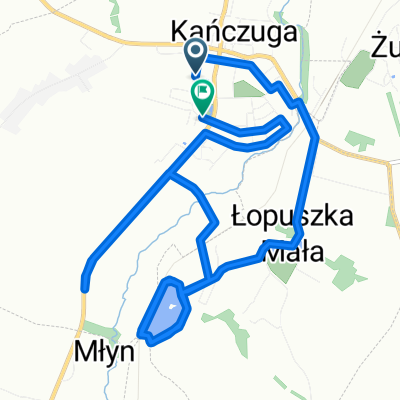
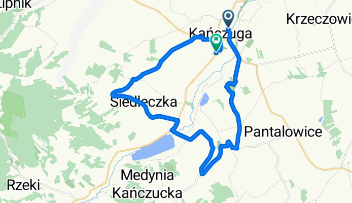
Cycling route in Kańczuga, Subcarpathian Voivodeship, Poland
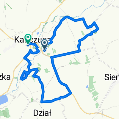
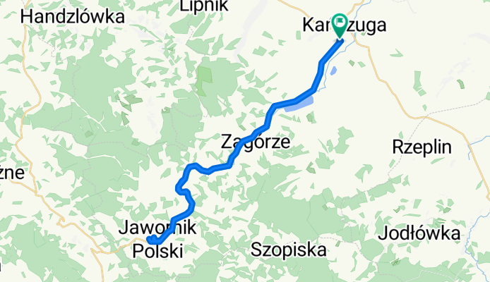
Cycling route in Kańczuga, Subcarpathian Voivodeship, Poland
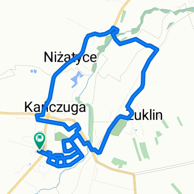
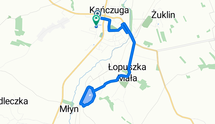
Cycling route in Kańczuga, Subcarpathian Voivodeship, Poland