
Cycling in Cisna
Discover a map of 677 cycling routes and bike trails near Cisna, created by our community.
Region portrait
Get to know Cisna
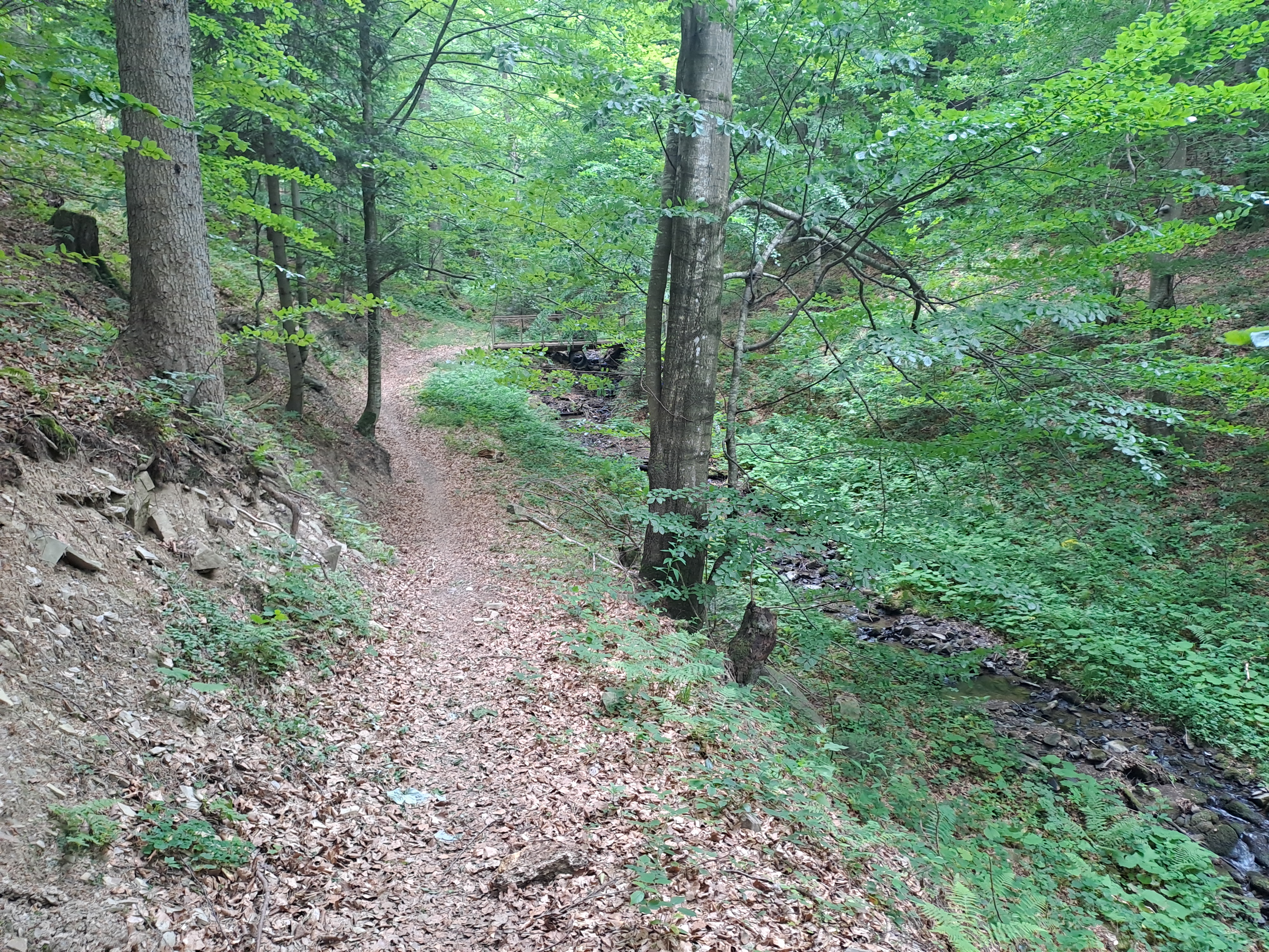
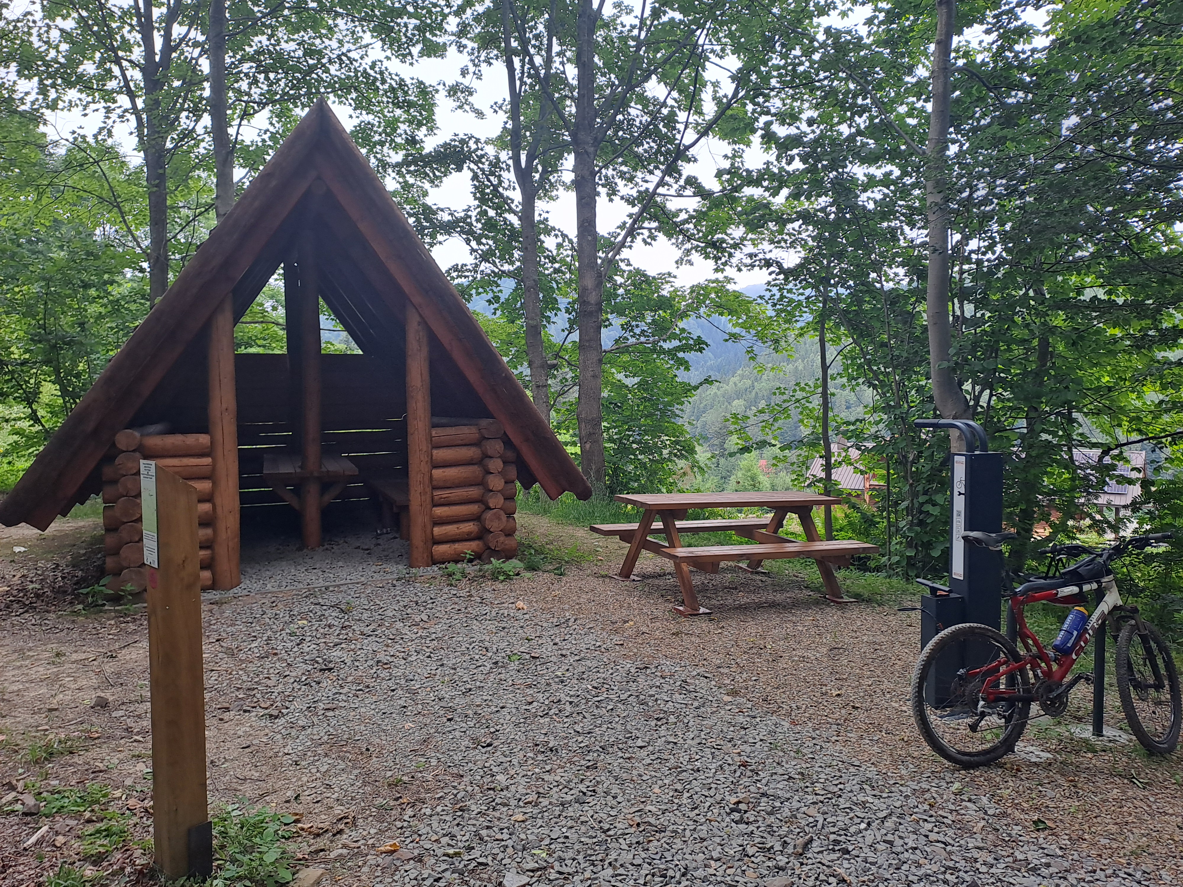
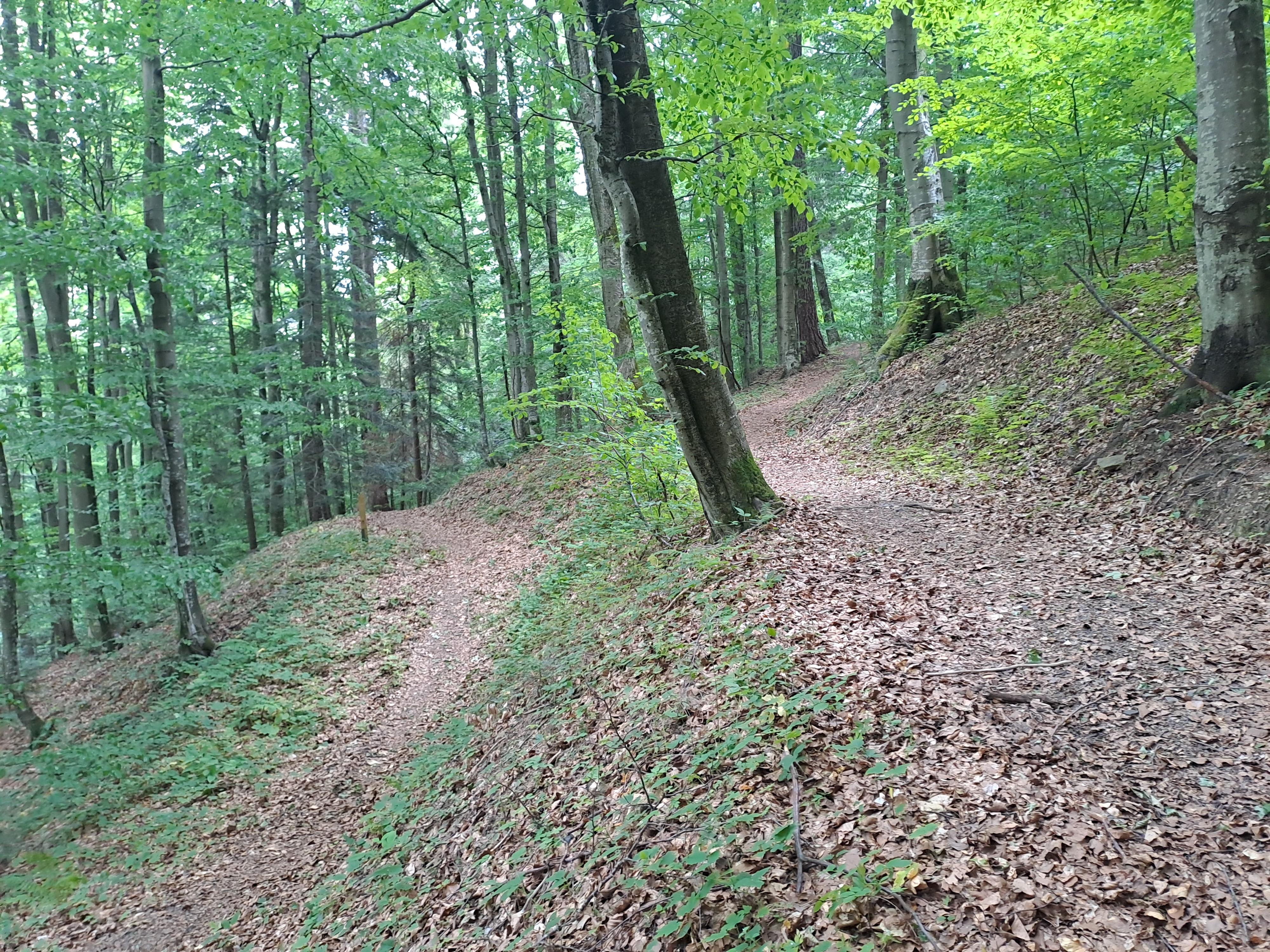
Find the right bike route for you through Cisna, where we've got 677 cycle routes to explore. Most people get on their bikes to ride here in the months of July and August.
47,748 km
Tracked distance
677
Cycle routes
460
Population
Community
Most active users in Cisna


Handpicked routes
Discover Cisna through these collections
Tour
From our community
The best bike routes in and around Cisna

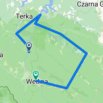
k pod Honem
Cycling route in Cisna, Subcarpathian Voivodeship, Poland
- 13.6 km
- Distance
- 460 m
- Ascent
- 469 m
- Descent


Long bike tour from Pastviny to Kalnica
Cycling route in Cisna, Subcarpathian Voivodeship, Poland
- 31.2 km
- Distance
- 559 m
- Ascent
- 557 m
- Descent

kalnica-zatwarnica-przeł. orłowicza-jaworzec-kalnica
Cycling route in Cisna, Subcarpathian Voivodeship, Poland
- 40.9 km
- Distance
- 967 m
- Ascent
- 967 m
- Descent

ride from Pastviny to Kalnica
Cycling route in Cisna, Subcarpathian Voivodeship, Poland
- 21.2 km
- Distance
- 305 m
- Ascent
- 303 m
- Descent
Discover more routes
 Cisna - Fereczata i Okrąglik
- Distance
- 34 km
- Ascent
- 790 m
- Descent
- 790 m
- Location
- Cisna, Subcarpathian Voivodeship, Poland
 Stakcin, Słowacja
- Distance
- 28.8 km
- Ascent
- 212 m
- Descent
- 654 m
- Location
- Cisna, Subcarpathian Voivodeship, Poland
 Dookoła Masywu Hyrlatej.
- Distance
- 29.1 km
- Ascent
- 491 m
- Descent
- 492 m
- Location
- Cisna, Subcarpathian Voivodeship, Poland
 Pętla bieszczadzka
- Distance
- 100.8 km
- Ascent
- 1,157 m
- Descent
- 1,156 m
- Location
- Cisna, Subcarpathian Voivodeship, Poland
 Caryńska pętla
- Distance
- 92.6 km
- Ascent
- 927 m
- Descent
- 928 m
- Location
- Cisna, Subcarpathian Voivodeship, Poland
 Smerek-Fereczata-Okrąglik-Jasło-Przysłup
- Distance
- 14.2 km
- Ascent
- 693 m
- Descent
- 654 m
- Location
- Cisna, Subcarpathian Voivodeship, Poland
 Cisna do Cisna
- Distance
- 22.1 km
- Ascent
- 475 m
- Descent
- 475 m
- Location
- Cisna, Subcarpathian Voivodeship, Poland
 Sine Wiry, Huculskie
- Distance
- 47.3 km
- Ascent
- 1,330 m
- Descent
- 1,286 m
- Location
- Cisna, Subcarpathian Voivodeship, Poland
Routes from Cisna
Cycling day trip from
Cisna to Lutowiska
Routes to Cisna
Cycling day trip from
Lutowiska to Cisna
Cycling day trip from
Polańczyk to Cisna