Cycling in Białka Tatrzańska
Discover a map of 180 cycling routes and bike trails near Białka Tatrzańska, created by our community.
Region portrait
Get to know Białka Tatrzańska
Find the right bike route for you through Białka Tatrzańska, where we've got 180 cycle routes to explore. Most people get on their bikes to ride here in the months of July and August.
10,821 km
Tracked distance
180
Cycle routes
2,200
Population
Community
Most active users in Białka Tatrzańska
From our community
The best bike routes in and around Białka Tatrzańska
Dookoła Tatr z Białka
Cycling route in Białka Tatrzańska, Lesser Poland Voivodeship, Poland
- 206 km
- Distance
- 1,987 m
- Ascent
- 1,988 m
- Descent
Białka Tatrzańska - Dębno -Nowy Targ- Szaflary- Białka Tatrzańska
Cycling route in Białka Tatrzańska, Lesser Poland Voivodeship, Poland
- 60.6 km
- Distance
- 274 m
- Ascent
- 285 m
- Descent
Spisko podhahalnskie podjazdy
Cycling route in Białka Tatrzańska, Lesser Poland Voivodeship, Poland
Zawiera podjazdy:
Sciana Bukovina w Gliczarowie
podjazd Czarna Gora
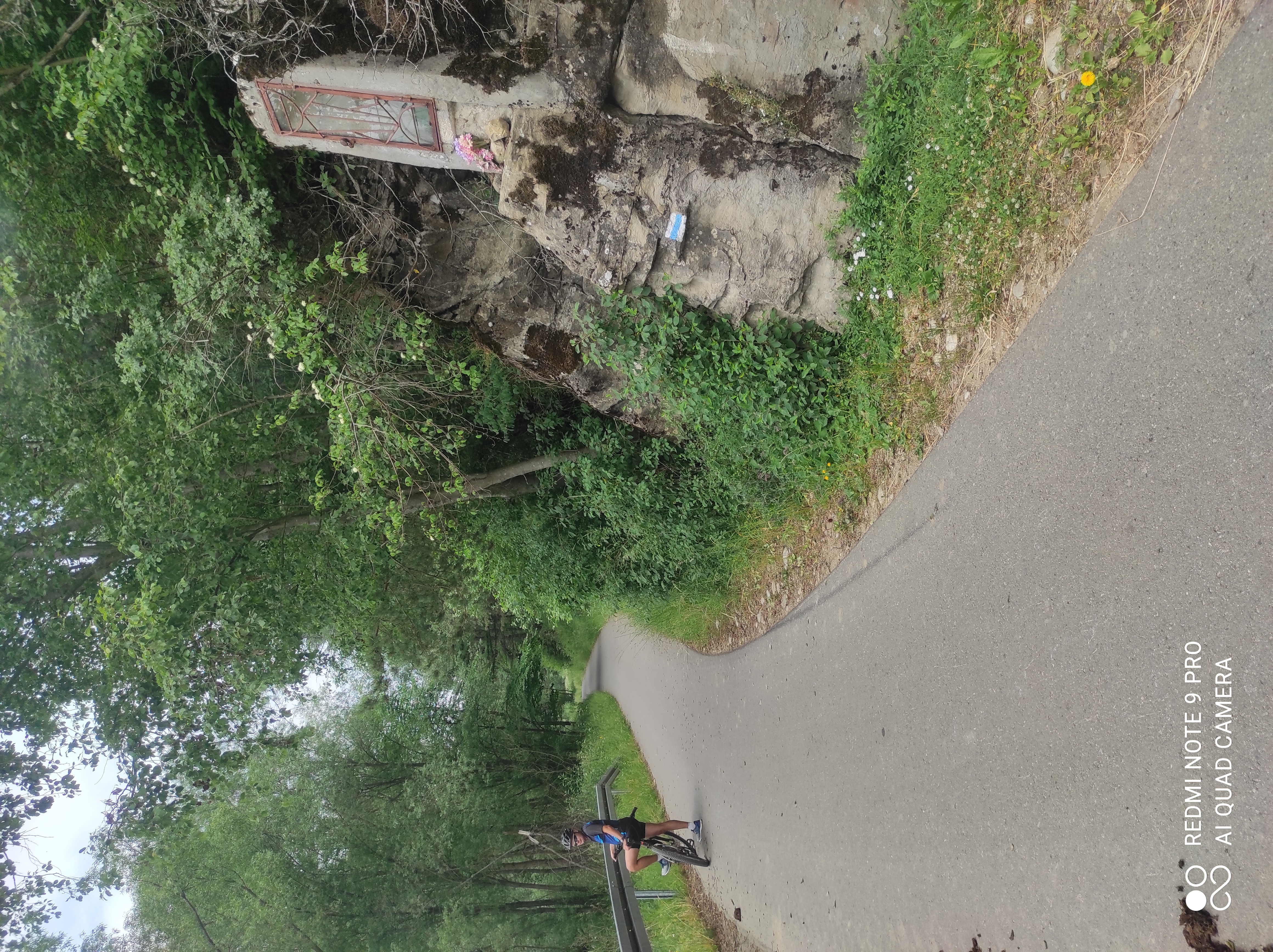
podjazd Lapszanka z kapliczka :-)
Boczne malo uczeszczane asfalty i szuter w pasmie kotelnica jankulakowski wrch
- 65.1 km
- Distance
- 1,087 m
- Ascent
- 1,084 m
- Descent
Go around with kids by lift
Cycling route in Białka Tatrzańska, Lesser Poland Voivodeship, Poland
Tried to find some route for my kids (4y,6y,8y). Starting at the base station of lift to find out if the lift takes us up to kotelnica
- 14.2 km
- Distance
- 394 m
- Ascent
- 394 m
- Descent
Discover more routes
 1 DAY
1 DAY- Distance
- 64.1 km
- Ascent
- 799 m
- Descent
- 807 m
- Location
- Białka Tatrzańska, Lesser Poland Voivodeship, Poland
 bialka 1
- Distance
- 61.6 km
- Ascent
- 524 m
- Descent
- 521 m
- Location
- Białka Tatrzańska, Lesser Poland Voivodeship, Poland
 TATRY 2022 2.DEN
- Distance
- 92.5 km
- Ascent
- 1,984 m
- Descent
- 2,075 m
- Location
- Białka Tatrzańska, Lesser Poland Voivodeship, Poland
 Bialka, Knurowska, Sromowce, Matiasovce, Osturnia, Bialka
- Distance
- 87.6 km
- Ascent
- 1,177 m
- Descent
- 1,174 m
- Location
- Białka Tatrzańska, Lesser Poland Voivodeship, Poland
 TDP, spisz i boligłowa
- Distance
- 73.3 km
- Ascent
- 1,316 m
- Descent
- 1,319 m
- Location
- Białka Tatrzańska, Lesser Poland Voivodeship, Poland
 mapei1
- Distance
- 36.8 km
- Ascent
- 631 m
- Descent
- 639 m
- Location
- Białka Tatrzańska, Lesser Poland Voivodeship, Poland
 Murzasichle
- Distance
- 60.6 km
- Ascent
- 860 m
- Descent
- 865 m
- Location
- Białka Tatrzańska, Lesser Poland Voivodeship, Poland
 PL Javorina, Niedzica
- Distance
- 84.7 km
- Ascent
- 1,592 m
- Descent
- 1,607 m
- Location
- Białka Tatrzańska, Lesser Poland Voivodeship, Poland


