Cycling in Castelbello
Discover a map of 32 cycling routes and bike trails near Castelbello, created by our community.
Region portrait
Get to know Castelbello
Find the right bike route for you through Castelbello, where we've got 32 cycle routes to explore. Most people get on their bikes to ride here in the month of September.
1,680 km
Tracked distance
32
Cycle routes
915
Population
Community
Most active users in Castelbello
Handpicked routes
Discover Castelbello through these collections
From our community
The best bike routes in and around Castelbello
Uphill Marzoner Alm 2
Cycling route in Castelbello, Trentino-Alto Adige, Italy
- 11.9 km
- Distance
- 1,099 m
- Ascent
- 65 m
- Descent
Uphill Tablander Alm
Cycling route in Castelbello, Trentino-Alto Adige, Italy
- 13.5 km
- Distance
- 1,218 m
- Ascent
- 14 m
- Descent
Ciardes - Ospedaletto
Cycling route in Castelbello, Trentino-Alto Adige, Italy
- 234.5 km
- Distance
- 1,847 m
- Ascent
- 2,458 m
- Descent
in3nap
Cycling route in Castelbello, Trentino-Alto Adige, Italy
- 107.4 km
- Distance
- 2,202 m
- Ascent
- 2,252 m
- Descent
Discover more routes
 Tschars Tablander Alm
- Distance
- 13.9 km
- Ascent
- 1,260 m
- Descent
- 55 m
- Location
- Castelbello, Trentino-Alto Adige, Italy
 Runde Müstair
- Distance
- 206.9 km
- Ascent
- 2,228 m
- Descent
- 2,218 m
- Location
- Castelbello, Trentino-Alto Adige, Italy
 Tschars-Burgeis und zurück
- Distance
- 92.2 km
- Ascent
- 769 m
- Descent
- 769 m
- Location
- Castelbello, Trentino-Alto Adige, Italy
 S6 Schnalztal
- Distance
- 29.5 km
- Ascent
- 1,489 m
- Descent
- 56 m
- Location
- Castelbello, Trentino-Alto Adige, Italy
 Mühlweg 2, Kastelbell-Tschars nach Sonnenberg 47, Naturns
- Distance
- 16 km
- Ascent
- 1,484 m
- Descent
- 651 m
- Location
- Castelbello, Trentino-Alto Adige, Italy
 Fontana und Lupotrail
- Distance
- 8.2 km
- Ascent
- 21 m
- Descent
- 1,144 m
- Location
- Castelbello, Trentino-Alto Adige, Italy
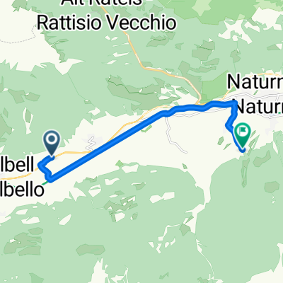
 Eichgasse, Kastelbell-Tschars nach Rolweg, Naturns
- Distance
- 8.9 km
- Ascent
- 135 m
- Descent
- 47 m
- Location
- Castelbello, Trentino-Alto Adige, Italy
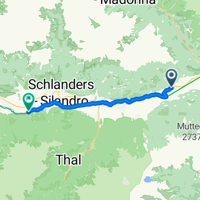
 46.635, 10.921 nach 46.612, 10.729
- Distance
- 17.7 km
- Ascent
- 321 m
- Descent
- 79 m
- Location
- Castelbello, Trentino-Alto Adige, Italy


