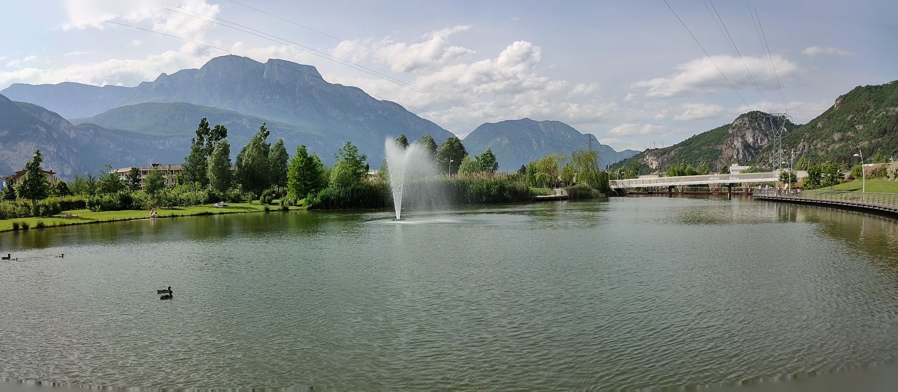
Cycling in Meano
Discover a map of 111 cycling routes and bike trails near Meano, created by our community.
Region portrait
Get to know Meano
Find the right bike route for you through Meano, where we've got 111 cycle routes to explore. Most people get on their bikes to ride here in the months of June and July.
13,907 km
Tracked distance
111
Cycle routes
2,096
Population
Community
Most active users in Meano
From our community
The best bike routes in and around Meano
Trento-Besenello-Lavarone-Jägersteig-Trento
Cycling route in Meano, Trentino-Alto Adige, Italy
- 94.5 km
- Distance
- 1,681 m
- Ascent
- 1,681 m
- Descent
Trentino-Zufahrt zum Etschradweg
Cycling route in Meano, Trentino-Alto Adige, Italy
- 8.2 km
- Distance
- 13 m
- Ascent
- 20 m
- Descent
Da Trento a Via Don Lorenzo Milani 30, Trento
Cycling route in Meano, Trentino-Alto Adige, Italy
- 3.6 km
- Distance
- 18 m
- Ascent
- 17 m
- Descent
Trento, Egna, ferrovia Ora-Predazzo, Valfloriana, Trento
Cycling route in Meano, Trentino-Alto Adige, Italy
- 116.2 km
- Distance
- 3,110 m
- Ascent
- 3,111 m
- Descent
Discover more routes
 Gardolo - Redebus - Sant'Orsola
- Distance
- 41 km
- Ascent
- 1,539 m
- Descent
- 773 m
- Location
- Meano, Trentino-Alto Adige, Italy
 3per1000
- Distance
- 1,115.3 km
- Ascent
- 1,788 m
- Descent
- 1,436 m
- Location
- Meano, Trentino-Alto Adige, Italy
 Ortles2
- Distance
- 321.3 km
- Ascent
- 4,122 m
- Descent
- 4,413 m
- Location
- Meano, Trentino-Alto Adige, Italy
 Giro d'Italia 2006 - Stage 20
- Distance
- 211.9 km
- Ascent
- 4,739 m
- Descent
- 3,754 m
- Location
- Meano, Trentino-Alto Adige, Italy
 Meano - Nomi
- Distance
- 30.2 km
- Ascent
- 8 m
- Descent
- 172 m
- Location
- Meano, Trentino-Alto Adige, Italy
 Trentino_1D
- Distance
- 64.2 km
- Ascent
- 367 m
- Descent
- 491 m
- Location
- Meano, Trentino-Alto Adige, Italy
 Etschradweg 2017 6. Etappe2.gpx
- Distance
- 9.3 km
- Ascent
- 9 m
- Descent
- 16 m
- Location
- Meano, Trentino-Alto Adige, Italy
 ufr5_circuito allenamento 2 (gardolo di mezzo-martignano-montevaccino-vigo meano-gardolo di mezzo)
- Distance
- 23.2 km
- Ascent
- 633 m
- Descent
- 633 m
- Location
- Meano, Trentino-Alto Adige, Italy


