
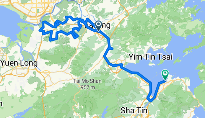
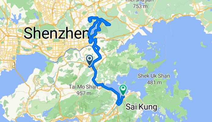
Route template
Tai Po to Sai Kung

- 1 h 59 min
- Duration
- 28 km
- Distance
- 628 m
- Ascent
- 584 m
- Descent
- 14.1 km/h
- Avg. speed
- 254 m
- Max. altitude
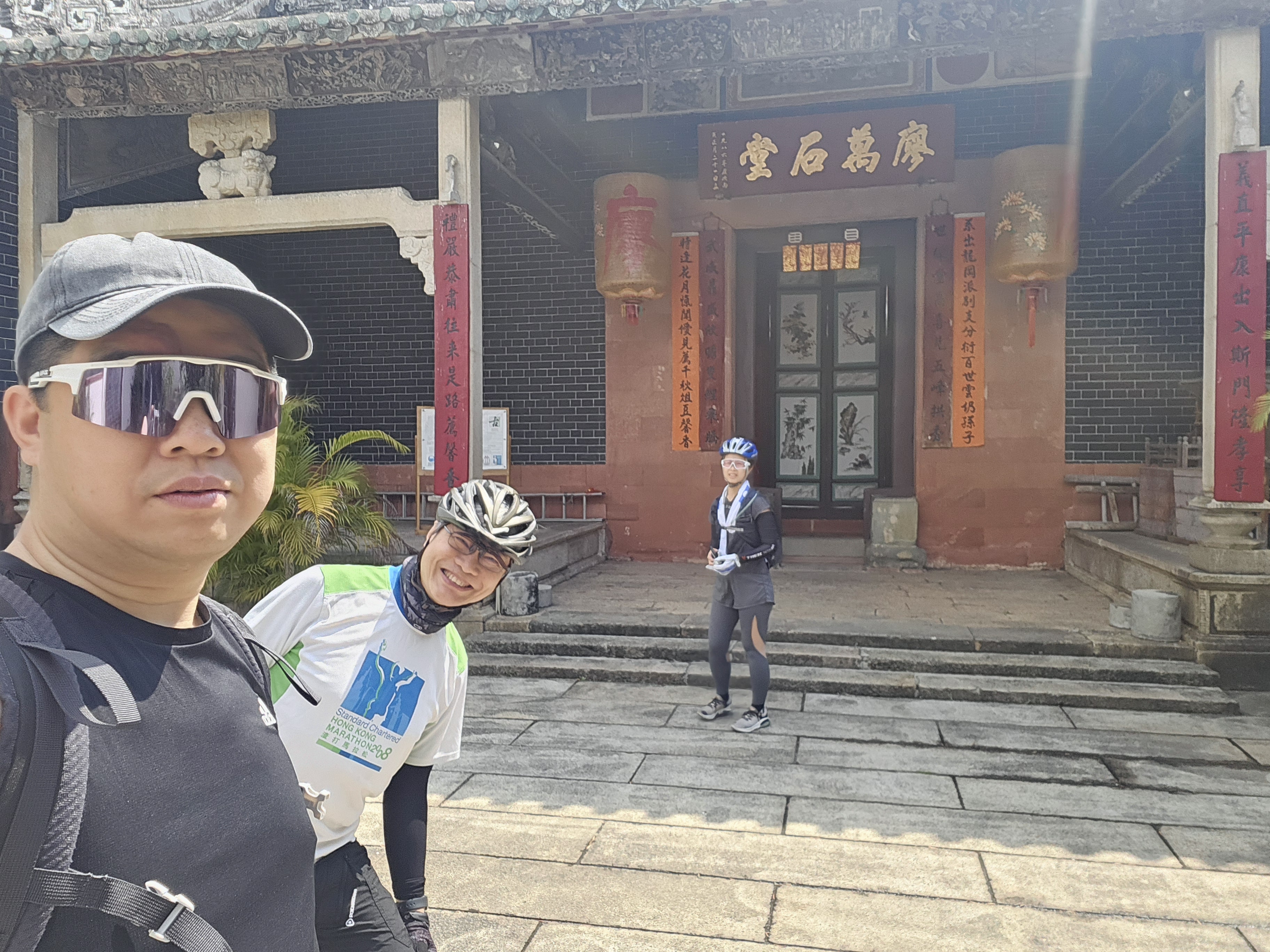
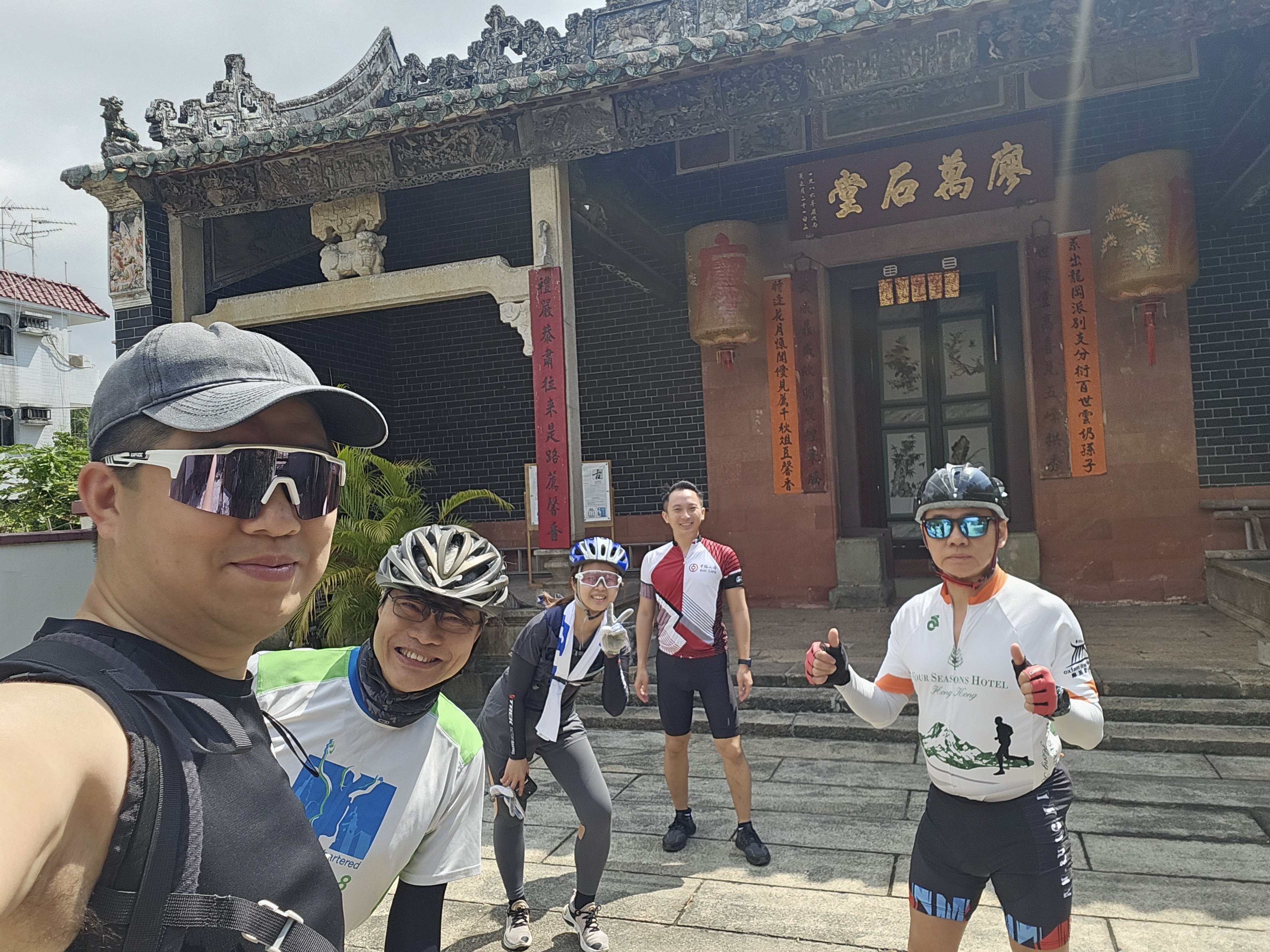
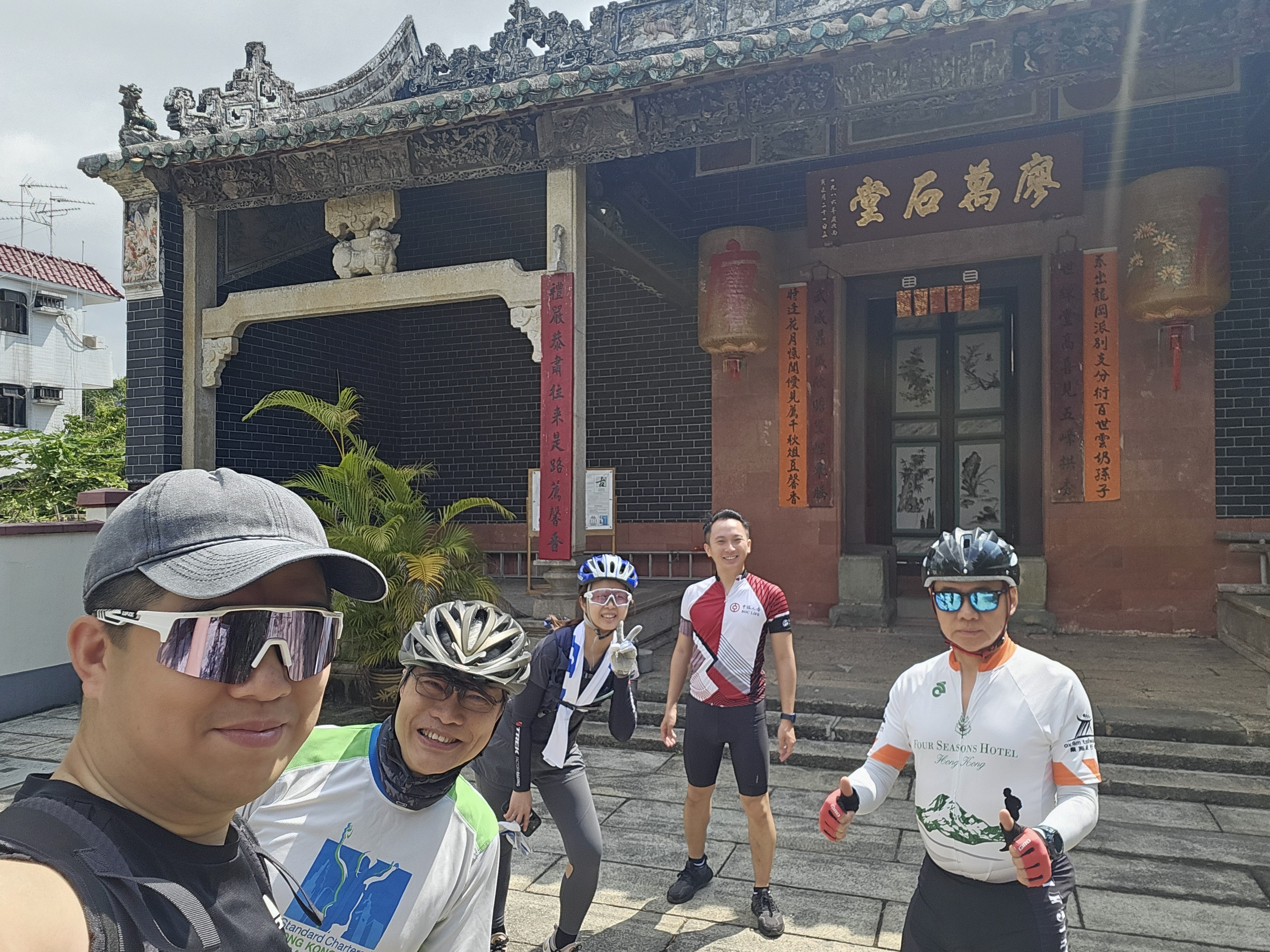
Get ready for a scenic adventure as you ride from Tai Po to Sai Kung! This route covers about 28 km and is perfect if you’re after a mix of town, countryside, and stunning coastline. You'll set off from Tai Po, a lively spot known for its bustling markets and the Lam Tsuen Wishing Tree. The first part rolls you through cycleways and quiet roads, then the real fun (and climbs!) begin—there’s over 600 meters of ascent, so expect some nice hill work and rewarding views.
As you near Sai Kung, the “Back Garden of Hong Kong,” picturesque inlets and the charming harbor welcome you. Sai Kung is famous for its seafood, laid-back seaside vibe, and easy access to hiking or beach hopping if you're up for more exploring.
Despite a mix of surfaces—most paved but occasionally changing terrain—this ride is best for cyclists with some experience. Don’t forget to pause for photos, soak up the green hills, and treat yourself to some seafood at the end!
Community
Top users in this region

From our community
The best bike routes from Tai Po to Sai Kung

上水~新娘潭~大浦~大圍~烏溪砂
Cycling route in Tai Po, Tai Po District, Hong Kong
- 51.4 km
- Distance
- 272 m
- Ascent
- 260 m
- Descent

Ta Kwu Ling to Ma On Shan via Tai Mo Shan
Cycling route in Tai Po, Tai Po District, Hong Kong
- 63.4 km
- Distance
- 1,764 m
- Ascent
- 1,744 m
- Descent

3–5 Science Park East Ave, Hong Kong Science Park, Sha Tin to Hoi Ying Rd, Ma On Shan
Cycling route in Tai Po, Tai Po District, Hong Kong
- 11.7 km
- Distance
- 130 m
- Ascent
- 112 m
- Descent

汀角路 6 to 船灣淡水湖郊遊徑
Cycling route in Tai Po, Tai Po District, Hong Kong
- 11.7 km
- Distance
- 89 m
- Ascent
- 96 m
- Descent

Sha Lan to Hoi Ha
Cycling route in Tai Po, Tai Po District, Hong Kong
- 38.6 km
- Distance
- 450 m
- Ascent
- 444 m
- Descent

大埔公路元洲仔段 to 馬鞍山郊遊徑
Cycling route in Tai Po, Tai Po District, Hong Kong
- 18.8 km
- Distance
- 310 m
- Ascent
- 114 m
- Descent
Moderate route
Cycling route in Tai Po, Tai Po District, Hong Kong
- 61.4 km
- Distance
- 828 m
- Ascent
- 831 m
- Descent

Moderate route
Cycling route in Tai Po, Tai Po District, Hong Kong
- 88.3 km
- Distance
- 1,031 m
- Ascent
- 1,025 m
- Descent


上水單車匯合中心 to 鞍駿街, 馬鞍山
Cycling route in Tai Po, Tai Po District, Hong Kong
- 24 km
- Distance
- 231 m
- Ascent
- 225 m
- Descent

Science Park West Avenue, Science Park to Plover Cove Reservoir Country Trail, Shuen Wan
Cycling route in Tai Po, Tai Po District, Hong Kong
- 15.5 km
- Distance
- 63 m
- Ascent
- 43 m
- Descent
Discover more routes
 Sha Lan to Hoi Ha
- Distance
- 38.6 km
- Ascent
- 450 m
- Descent
- 444 m
- Location
- Tai Po, Tai Po District, Hong Kong
 大埔公路元洲仔段 to 馬鞍山郊遊徑
- Distance
- 18.8 km
- Ascent
- 310 m
- Descent
- 114 m
- Location
- Tai Po, Tai Po District, Hong Kong
- Moderate route
- Distance
- 61.4 km
- Ascent
- 828 m
- Descent
- 831 m
- Location
- Tai Po, Tai Po District, Hong Kong
 太和-北潭涌-太和
- Distance
- 42.5 km
- Ascent
- 428 m
- Descent
- 433 m
- Location
- Tai Po, Tai Po District, Hong Kong
 Moderate route
- Distance
- 88.3 km
- Ascent
- 1,031 m
- Descent
- 1,025 m
- Location
- Tai Po, Tai Po District, Hong Kong
 dayoff
- Distance
- 26.3 km
- Ascent
- 186 m
- Descent
- 208 m
- Location
- Tai Po, Tai Po District, Hong Kong
 上水單車匯合中心 to 鞍駿街, 馬鞍山
- Distance
- 24 km
- Ascent
- 231 m
- Descent
- 225 m
- Location
- Tai Po, Tai Po District, Hong Kong
 Science Park West Avenue, Science Park to Plover Cove Reservoir Country Trail, Shuen Wan
- Distance
- 15.5 km
- Ascent
- 63 m
- Descent
- 43 m
- Location
- Tai Po, Tai Po District, Hong Kong
Routes from Tai Po
Cycling day trip from
Tai Po to Yuen Long Kau Hui
Cycling day trip from
Tai Po to Tuenmen
Quick ride by bicycle from
Tai Po to Shatin
Routes to Sai Kung
Cycling day trip from
Shatin to Sai Kung
Cycling day trip from
Kowloon to Sai Kung