
Quick ride by bicycle from Hackney to West End of London
Customize your own route based on our template or discover how our community prefers to cycle from Hackney to West End of London.
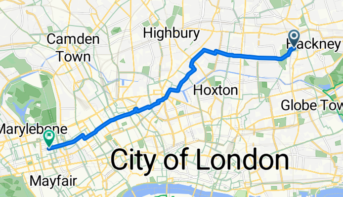
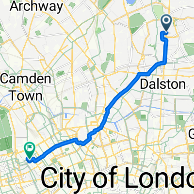
Route template
Hackney to West End of London

- 1 h
- Duration
- 17.5 km
- Distance
- 85 m
- Ascent
- 62 m
- Descent
- 17.6 km/h
- Avg. speed
- 42 m
- Max. altitude
Set off from Hackney, the creative heart of East London, and cruise your way towards the iconic West End. This 17.5 km ride is a mellow mix of quiet roads and smooth cycleways—almost entirely paved and mostly asphalt, perfect for keeping a good rhythm. You’ll meander through a patchwork of eclectic neighborhoods, perhaps catching a glimpse of Regent’s Canal, before dipping into the bustling energy of central London.
There’s only a gentle climb (just over 84 meters of ascent), so you won’t be battling any serious hills. Most of the route keeps you off busy roads, making it an excellent choice for a relaxing city spin. Arriving in London’s West End, you’ll be right at the heart of theatreland, surrounded by dazzling lights, world-class shopping, and a vibrant street life. Whether you’re out for a weekend cruise or making your daily commute, this ride delivers a change of scenery and the best of London, East to West.
Community
Top users in this region


From our community
The best bike routes from Hackney to West End of London

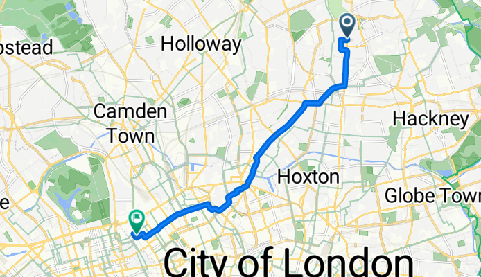
N16 Church St to West End Margaret St
Cycling route in Hackney, England, United Kingdom
- 7.9 km
- Distance
- 49 m
- Ascent
- 44 m
- Descent

home to work
Cycling route in Hackney, England, United Kingdom
- 7.4 km
- Distance
- 37 m
- Ascent
- 29 m
- Descent

LL: Home – work route
Cycling route in Hackney, England, United Kingdom
- 7.4 km
- Distance
- 37 m
- Ascent
- 29 m
- Descent
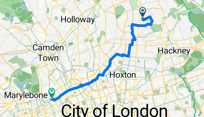
Mare Street, London to Weymouth Street, London
Cycling route in Hackney, England, United Kingdom
- 8.6 km
- Distance
- 35 m
- Ascent
- 36 m
- Descent

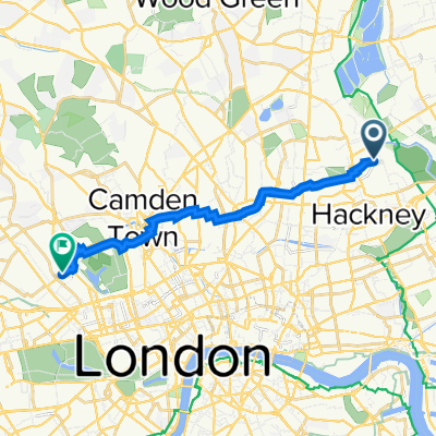
160–170 Millfields Road, London to 30 St John's Wood Road, London
Cycling route in Hackney, England, United Kingdom
- 11.3 km
- Distance
- 57 m
- Ascent
- 25 m
- Descent
Stoke Newington High Street, London to Fitzroy Street, London
Cycling route in Hackney, England, United Kingdom
- 7.7 km
- Distance
- 41 m
- Ascent
- 38 m
- Descent

Marcon Place 22 to Serpentine Road
Cycling route in Hackney, England, United Kingdom
- 11.2 km
- Distance
- 28 m
- Ascent
- 10 m
- Descent

47 Princess May Road, London to 114 Hallam St, London
Cycling route in Hackney, England, United Kingdom
- 7.6 km
- Distance
- 43 m
- Ascent
- 31 m
- Descent
Leswin Road, London to Grafton Way, London
Cycling route in Hackney, England, United Kingdom
- 9.5 km
- Distance
- 47 m
- Ascent
- 38 m
- Descent

17–32 Honour Lea Ave, London to 14–17 Little Portland St, London
Cycling route in Hackney, England, United Kingdom
- 12.7 km
- Distance
- 50 m
- Ascent
- 34 m
- Descent

58 Ruckholt Road, London a 67 Baker St, London
Cycling route in Hackney, England, United Kingdom
- 13.1 km
- Distance
- 339 m
- Ascent
- 323 m
- Descent

47 Princess May Road, London to 114 Hallam St, London
Cycling route in Hackney, England, United Kingdom
- 7.6 km
- Distance
- 43 m
- Ascent
- 31 m
- Descent
Discover more routes
 160–170 Millfields Road, London to 30 St John's Wood Road, London
- Distance
- 11.3 km
- Ascent
- 57 m
- Descent
- 25 m
- Location
- Hackney, England, United Kingdom
 Stoke Newington High Street, London to Fitzroy Street, London
- Distance
- 7.7 km
- Ascent
- 41 m
- Descent
- 38 m
- Location
- Hackney, England, United Kingdom
 Marcon Place 22 to Serpentine Road
- Distance
- 11.2 km
- Ascent
- 28 m
- Descent
- 10 m
- Location
- Hackney, England, United Kingdom
 47 Princess May Road, London to 114 Hallam St, London
- Distance
- 7.6 km
- Ascent
- 43 m
- Descent
- 31 m
- Location
- Hackney, England, United Kingdom
 Leswin Road, London to Grafton Way, London
- Distance
- 9.5 km
- Ascent
- 47 m
- Descent
- 38 m
- Location
- Hackney, England, United Kingdom
 17–32 Honour Lea Ave, London to 14–17 Little Portland St, London
- Distance
- 12.7 km
- Ascent
- 50 m
- Descent
- 34 m
- Location
- Hackney, England, United Kingdom
 58 Ruckholt Road, London a 67 Baker St, London
- Distance
- 13.1 km
- Ascent
- 339 m
- Descent
- 323 m
- Location
- Hackney, England, United Kingdom
 47 Princess May Road, London to 114 Hallam St, London
- Distance
- 7.6 km
- Ascent
- 43 m
- Descent
- 31 m
- Location
- Hackney, England, United Kingdom
Routes from Hackney
Quick ride by bicycle from
Hackney to London
Quick ride by bicycle from
Hackney to Clerkenwell
Routes to West End of London
Cycling day trip from
Blackheath to West End of London
Cycling day trip from
Twickenham to West End of London
Quick ride by bicycle from
Clerkenwell to West End of London
Quick ride by bicycle from
City of London to West End of London