

By bicycle from Unterföhring to Munich
Customize your own route based on our template or discover how our community prefers to cycle from Unterföhring to Munich.
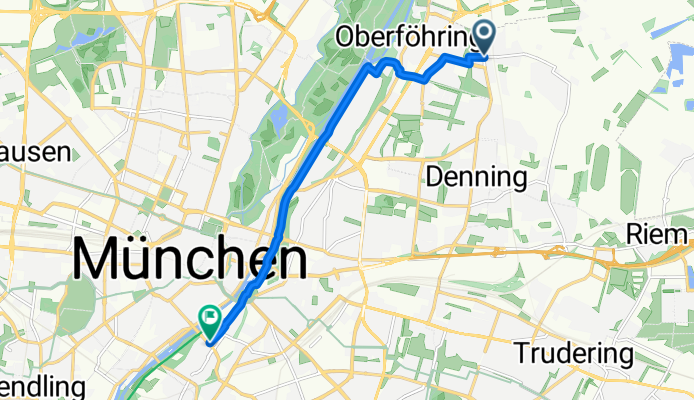
Route template
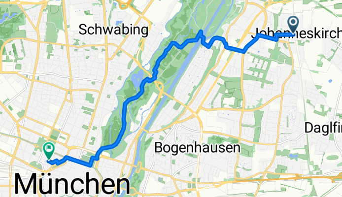
Unterföhring to Munich

- 43 min
- Duration
- 10.7 km
- Distance
- 50 m
- Ascent
- 32 m
- Descent
- 14.8 km/h
- Avg. speed
- 527 m
- Max. altitude
This cycling route takes you from Unterföhring, just north of Munich, directly into the heart of the Bavarian capital. Unterföhring is renowned for its media industry and charming small-town vibe, making it a pleasant spot to kick off your ride.
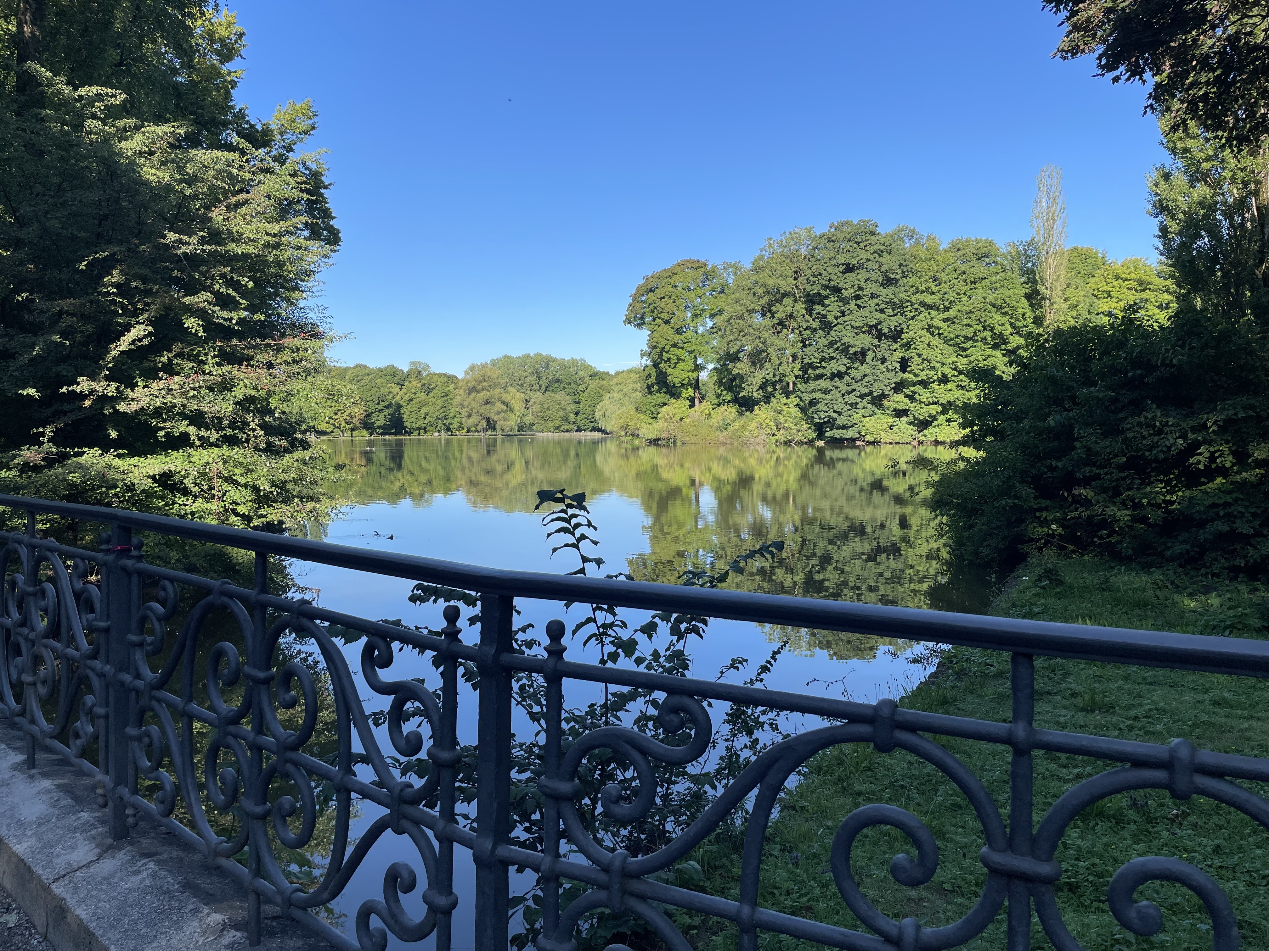
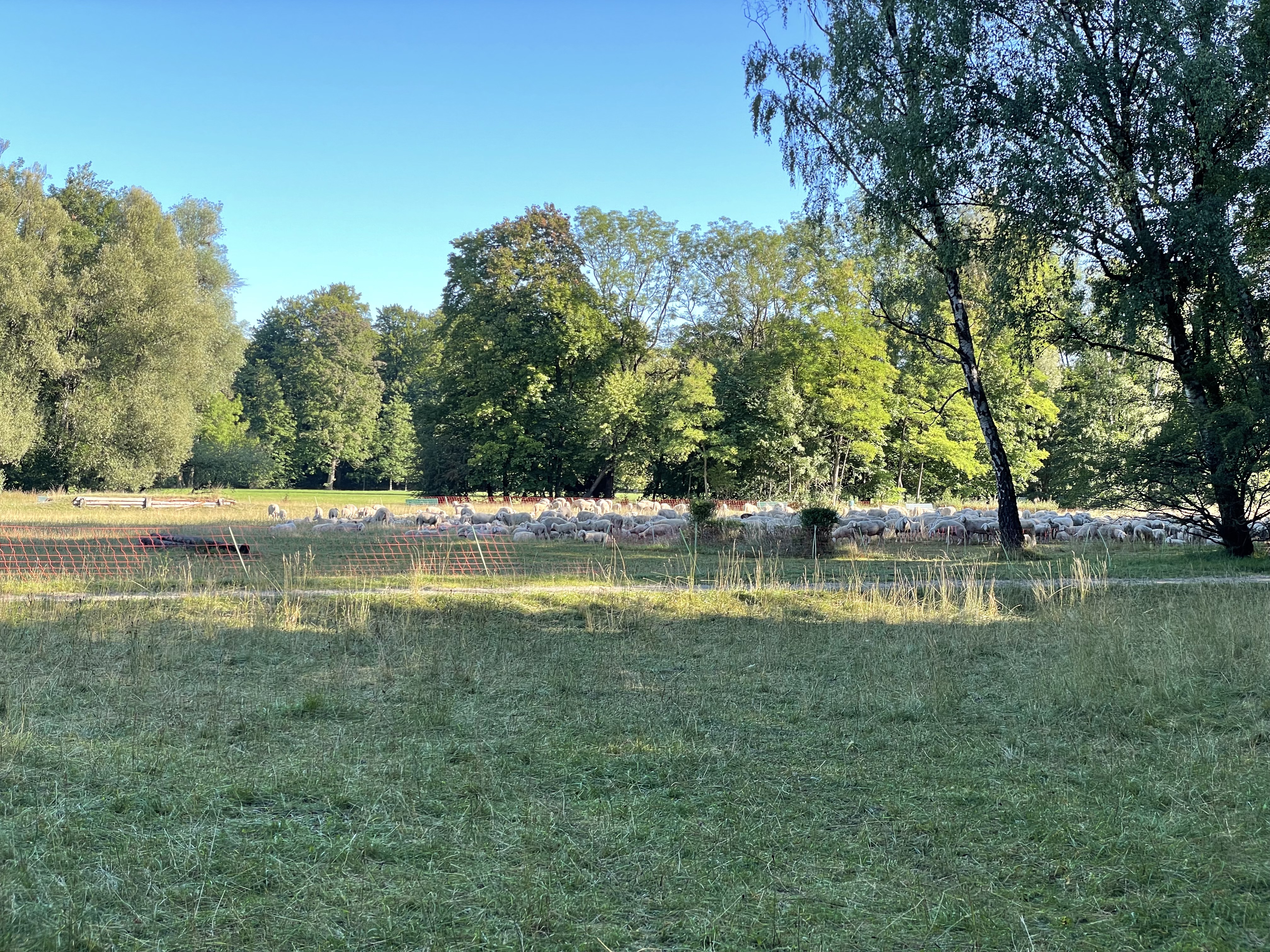
The route covers about 10.7 km and is mostly on paved or asphalt surfaces, although you'll get a bit of adventure with some gravel stretches—so a hybrid or sturdy road bike is a good call. You’ll follow mainly quiet paths and cycleways, cruising through green spaces and alongside the River Isar, with gentle elevation changes (about 50 meters up and 32 down). It’s mostly an easy ride, perfect for stretching your legs and soaking in some scenery.
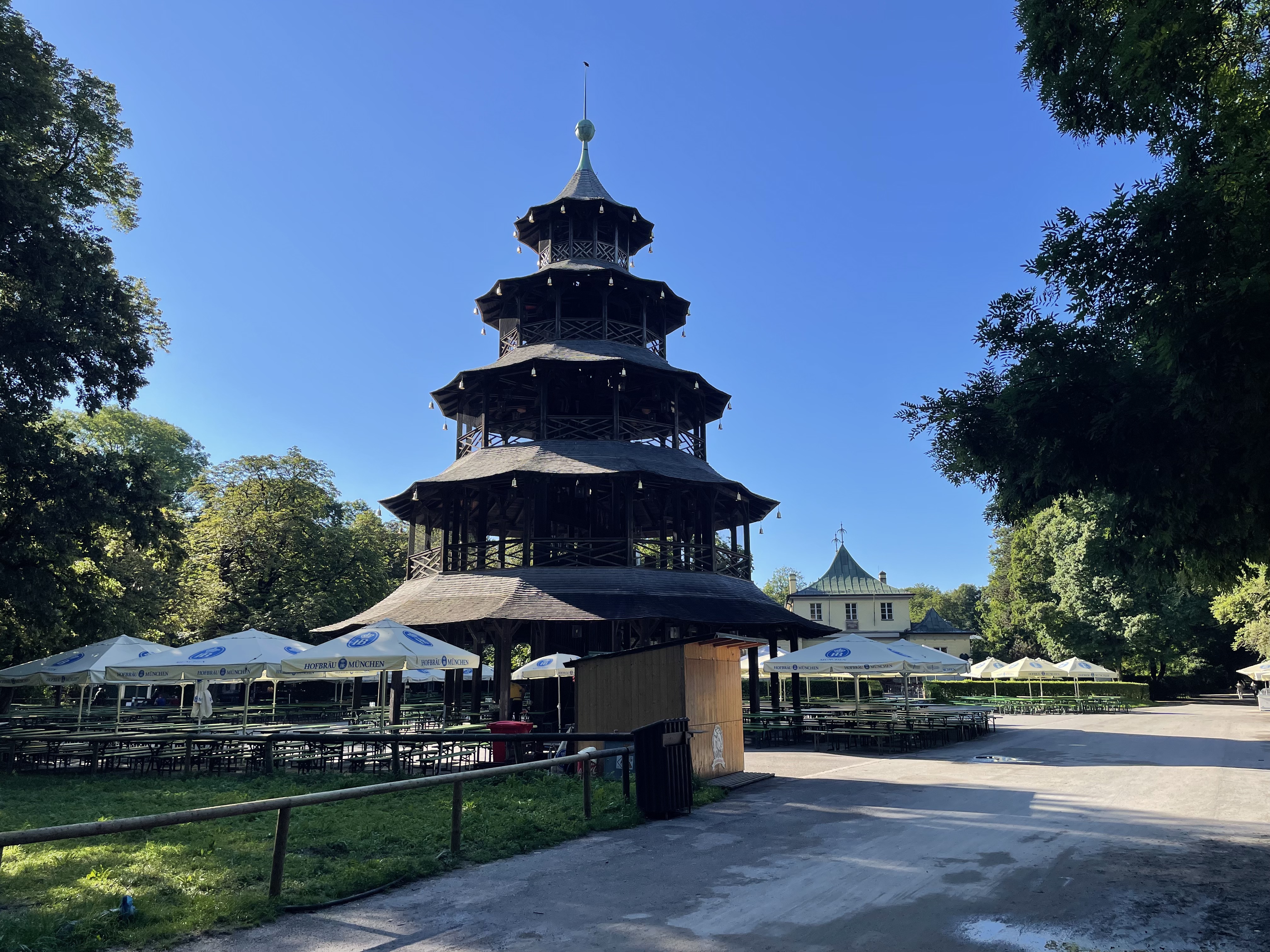
As you approach Munich, you'll feel the city’s famous energy. The ride ends near Marienplatz, the bustling city center known for its historic buildings, shops, and cafés—perfect for a post-ride treat.
Community
Top users in this region

From our community
The best bike routes from Unterföhring to Munich
Zum Apple Workshop durch den Englischen Garten Tag 1
Cycling route in Unterföhring, Bavaria, Germany
- 9.3 km
- Distance
- 29 m
- Ascent
- 26 m
- Descent
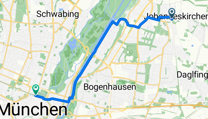
Von Johanneskirchen zum Café Faber
Cycling route in Unterföhring, Bavaria, Germany
- 8.2 km
- Distance
- 37 m
- Ascent
- 35 m
- Descent

Zum Apple Liquid Glass Workshop Tag 2
Cycling route in Unterföhring, Bavaria, Germany
- 7.9 km
- Distance
- 30 m
- Ascent
- 31 m
- Descent


Ausfahrt durch München
Cycling route in Unterföhring, Bavaria, Germany
- 13.6 km
- Distance
- 22 m
- Ascent
- 0 m
- Descent


Frottmaning - Marienplatz
Cycling route in Unterföhring, Bavaria, Germany
- 12 km
- Distance
- 22 m
- Ascent
- 0 m
- Descent

kc6 Teil 1
Cycling route in Unterföhring, Bavaria, Germany
- 6.7 km
- Distance
- 12 m
- Ascent
- 0 m
- Descent

München - Chiemsee
Cycling route in Unterföhring, Bavaria, Germany
- 268.7 km
- Distance
- 597 m
- Ascent
- 569 m
- Descent

Berzeliusstraße 3, Munich to Schleißheimer Straße 52A, Munich
Cycling route in Unterföhring, Bavaria, Germany
- 7.9 km
- Distance
- 32 m
- Ascent
- 18 m
- Descent

Johanneskirchner Straße 138 - Oskar-von-Miller-Ring 20
Cycling route in Unterföhring, Bavaria, Germany
- 7.2 km
- Distance
- 37 m
- Ascent
- 39 m
- Descent

EngGart-Autobahnbrűck-ismanig-isarvom 24.4.17
Cycling route in Unterföhring, Bavaria, Germany
- 28.8 km
- Distance
- 30 m
- Ascent
- 16 m
- Descent

Discover more routes
 Ausfahrt durch München
- Distance
- 13.6 km
- Ascent
- 22 m
- Descent
- 0 m
- Location
- Unterföhring, Bavaria, Germany
 Frottmaning - Marienplatz
- Distance
- 12 km
- Ascent
- 22 m
- Descent
- 0 m
- Location
- Unterföhring, Bavaria, Germany
 kc6 Teil 1
- Distance
- 6.7 km
- Ascent
- 12 m
- Descent
- 0 m
- Location
- Unterföhring, Bavaria, Germany
 München - Chiemsee
- Distance
- 268.7 km
- Ascent
- 597 m
- Descent
- 569 m
- Location
- Unterföhring, Bavaria, Germany
 Berzeliusstraße 3, Munich to Schleißheimer Straße 52A, Munich
- Distance
- 7.9 km
- Ascent
- 32 m
- Descent
- 18 m
- Location
- Unterföhring, Bavaria, Germany
 Johanneskirchner Straße 138 - Oskar-von-Miller-Ring 20
- Distance
- 7.2 km
- Ascent
- 37 m
- Descent
- 39 m
- Location
- Unterföhring, Bavaria, Germany
 EngGart-Autobahnbrűck-ismanig-isarvom 24.4.17
- Distance
- 28.8 km
- Ascent
- 30 m
- Descent
- 16 m
- Location
- Unterföhring, Bavaria, Germany
 Freya's Weg
- Distance
- 12.5 km
- Ascent
- 68 m
- Descent
- 32 m
- Location
- Unterföhring, Bavaria, Germany
Routes from Unterföhring
Cycling day trip from
Unterföhring to Pasing
By bicycle from
Unterföhring to Bogenhausen
By bicycle from
Unterföhring to Oberschleißheim
Routes to Munich
Cycling day trip from
Bad Tölz to Munich
Cycling day trip from
Starnberg to Munich
By bicycle from
Garching to Munich
By bicycle from
Unterhaching to Munich