

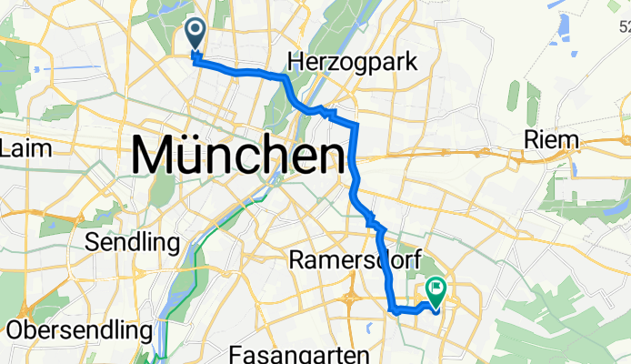
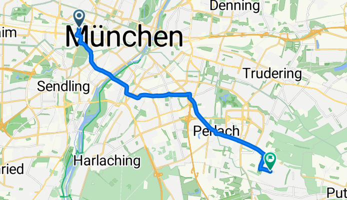
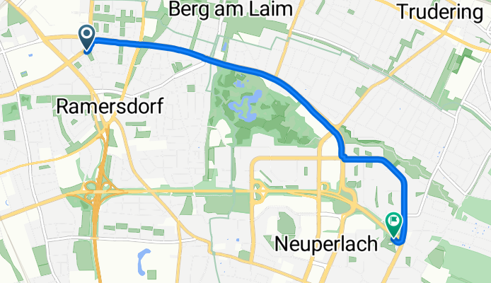
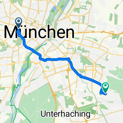
Route template
Munich to Neubiberg

- 49 min
- Duration
- 13 km
- Distance
- 57 m
- Ascent
- 34 m
- Descent
- 15.9 km/h
- Avg. speed
- 550 m
- Max. altitude
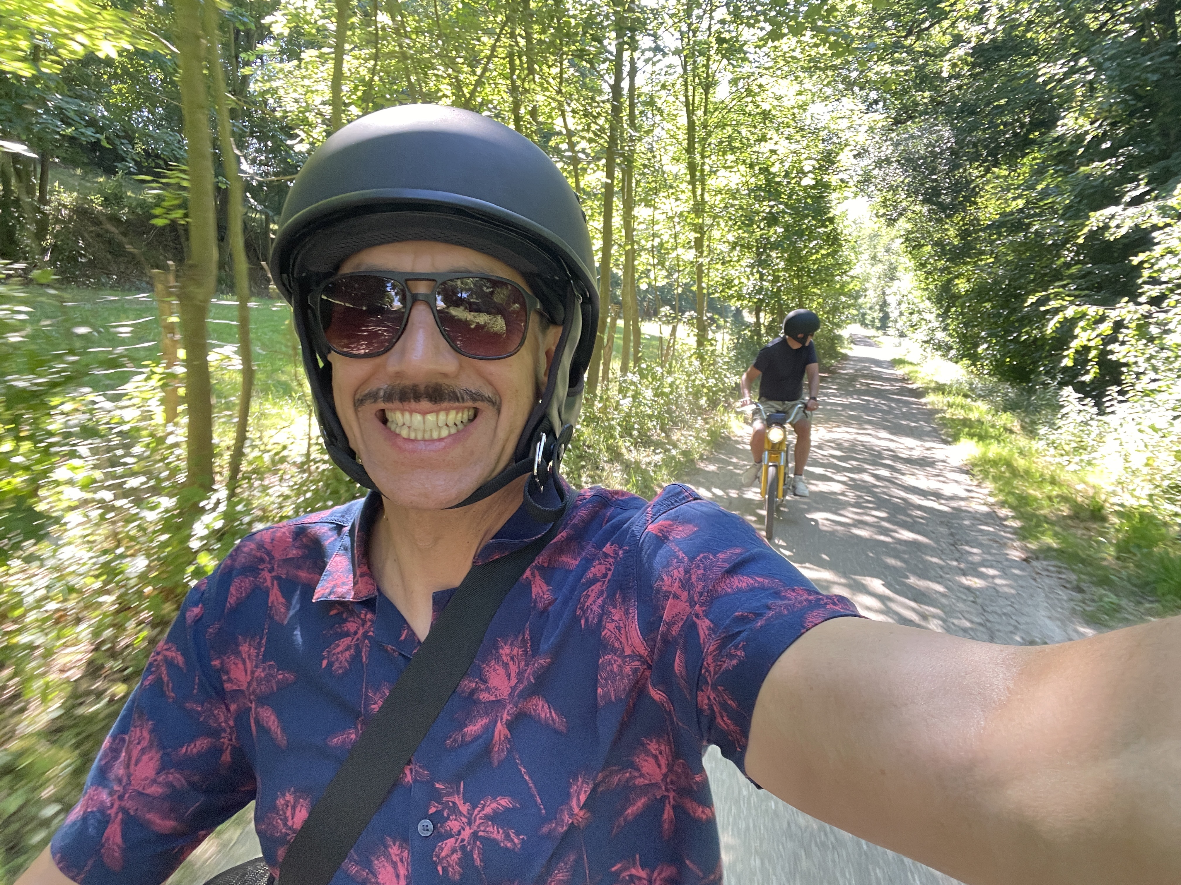
Ready for a breezy ride from Munich to Neubiberg? This short, roughly 13 km route takes you south out of Munich’s lively city center and into the quieter, leafy suburbs. You’ll start near Marienplatz — where Munich’s famous Glockenspiel clocks in crowds — and follow mostly paved paths and quiet roads, making for a smooth and safe trip whether you’re commuting or just exploring.
There’s a gentle climb at first (don’t worry, nothing too daunting with only about 57 meters of ascent), then you’ll coast downhill as you head toward Neubiberg, a charming university town known for its green parks and the Bundeswehr University.
The journey is mostly on paved paths (about 90%), winding through parks and quiet neighborhoods. Bring a snack and enjoy the transition from Munich’s urban energy to Neubiberg’s relaxed vibe. Perfect for a leisurely morning or after-work ride!
Community
Top users in this region


From our community
The best bike routes from Munich to Neubiberg

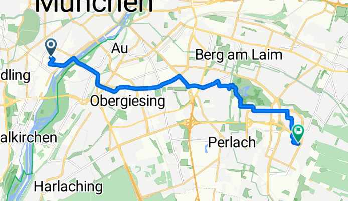
Ostbahnhof - SIEMENS (Otto-Hahn-Ring)
Cycling route in Munich, Bavaria, Germany
- 6.2 km
- Distance
- 16 m
- Ascent
- 5 m
- Descent

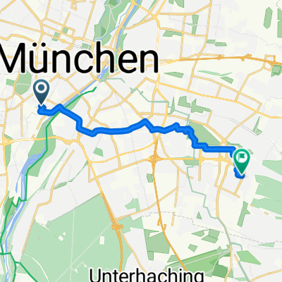
NBB - PH via Unterbiberg Wikingerstr Firstalmstr Edlingerstr Alten Südfriedhof Wiesn
Cycling route in Munich, Bavaria, Germany
- 15.2 km
- Distance
- 39 m
- Ascent
- 10 m
- Descent

Via Unterbiberg, Wikingerstr, Firstalmstr, Edlingerstr, Alten Südfriedhof, Wiesn
Cycling route in Munich, Bavaria, Germany
- 15.2 km
- Distance
- 39 m
- Ascent
- 10 m
- Descent

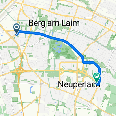
2017_TT_München_Neuperlach_#003
Cycling route in Munich, Bavaria, Germany
- 65.4 km
- Distance
- 132 m
- Ascent
- 113 m
- Descent

Weißenseestraße 7, München nach Sudermannallee 3, München
Cycling route in Munich, Bavaria, Germany
- 5.7 km
- Distance
- 4 m
- Ascent
- 4 m
- Descent


die with Mutlicharger Route nach Hanns-Seidel-Platz 16A, München
Cycling route in Munich, Bavaria, Germany
- 12.6 km
- Distance
- 42 m
- Ascent
- 26 m
- Descent
Adams-Lehmann-Straße 75, München nach Charles-de-Gaulle-Straße 16, München
Cycling route in Munich, Bavaria, Germany
- 11.8 km
- Distance
- 66 m
- Ascent
- 39 m
- Descent

Rosenheimer Straße nach Annette-Kolb-Anger
Cycling route in Munich, Bavaria, Germany
- 5.4 km
- Distance
- 35 m
- Ascent
- 57 m
- Descent
Tumblingerstraße nach Annette-Kolb-Anger
Cycling route in Munich, Bavaria, Germany
- 11.1 km
- Distance
- 44 m
- Ascent
- 73 m
- Descent
Discover more routes
 Weißenseestraße 7, München nach Sudermannallee 3, München
- Distance
- 5.7 km
- Ascent
- 4 m
- Descent
- 4 m
- Location
- Munich, Bavaria, Germany
 Back to Home
- Distance
- 5 km
- Ascent
- 24 m
- Descent
- 11 m
- Location
- Munich, Bavaria, Germany
 die with Mutlicharger Route nach Hanns-Seidel-Platz 16A, München
- Distance
- 12.6 km
- Ascent
- 42 m
- Descent
- 26 m
- Location
- Munich, Bavaria, Germany
 Adams-Lehmann-Straße 75, München nach Charles-de-Gaulle-Straße 16, München
- Distance
- 11.8 km
- Ascent
- 66 m
- Descent
- 39 m
- Location
- Munich, Bavaria, Germany
 Arbeitsweg
- Distance
- 11.1 km
- Ascent
- 22 m
- Descent
- 25 m
- Location
- Munich, Bavaria, Germany
 Work to Home Safe
- Distance
- 13.5 km
- Ascent
- 75 m
- Descent
- 51 m
- Location
- Munich, Bavaria, Germany
 Rosenheimer Straße nach Annette-Kolb-Anger
- Distance
- 5.4 km
- Ascent
- 35 m
- Descent
- 57 m
- Location
- Munich, Bavaria, Germany
 Tumblingerstraße nach Annette-Kolb-Anger
- Distance
- 11.1 km
- Ascent
- 44 m
- Descent
- 73 m
- Location
- Munich, Bavaria, Germany
Routes from Munich
Bikepacking from
Munich to Innsbruck
Bikepacking from
Munich to Achenkirch
Cycling day trip from
Munich to Freising
Cycling day trip from
Munich to Germering
Quick ride by bicycle from
Munich to Bogenhausen
Quick ride by bicycle from
Munich to Feldkirchen
Routes to Neubiberg
Quick ride by bicycle from
Haar to Neubiberg
Quick ride by bicycle from
Bogenhausen to Neubiberg