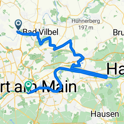


KONSTABLER_JBS_T-N via Kürzeste Weg
- 8.1 km
- 31 m
- 52 m
- Bad Vilbel, Hesse, Germany


Customize your own route based on our template or discover how our community prefers to cycle from Bad Vilbel to Frankfurt am Main.
Route template

Set off from the peaceful spa town of Bad Vilbel, known for its mineral springs and charming riverside parks. This ride takes you south into the heart of Frankfurt am Main—a city famous for its dazzling skyline and bustling cultural scene.
The route covers just over 11 km, mostly on quiet roads and well-maintained asphalt, so it’s smooth sailing for most of the journey. Expect a bit of gentle climbing (about 80 meters up and down), but nothing too challenging—just enough to keep things interesting! You’ll cruise through a mix of leafy suburban paths and peaceful neighborhoods before the city energy starts to build as Frankfurt’s skyscrapers peek into view.
Most of the route keeps you away from heavy traffic, so it’s perfect for a relaxed afternoon ride. With such a short distance, there’s plenty of time to explore Frankfurt’s old town, grab a coffee by the Main river, or just soak up the lively city vibes at your destination. Enjoy the ride!
Community
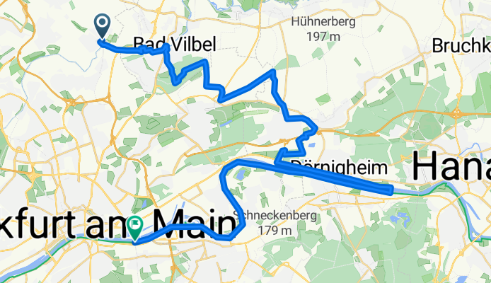
From our community
Cycling route in Bad Vilbel, Hesse, Germany
Cycling route in Bad Vilbel, Hesse, Germany
Cycling route in Bad Vilbel, Hesse, Germany
Cycling route in Bad Vilbel, Hesse, Germany
Cycling route in Bad Vilbel, Hesse, Germany
Cycling route in Bad Vilbel, Hesse, Germany
Cycling route in Bad Vilbel, Hesse, Germany
Cycling route in Bad Vilbel, Hesse, Germany
Cycling route in Bad Vilbel, Hesse, Germany
Cycling route in Bad Vilbel, Hesse, Germany
Cycling route in Bad Vilbel, Hesse, Germany
Cycling route in Bad Vilbel, Hesse, Germany
Cycling day trip from
By bicycle from
By bicycle from
Cycling day trip from
Cycling day trip from
By bicycle from
By bicycle from