
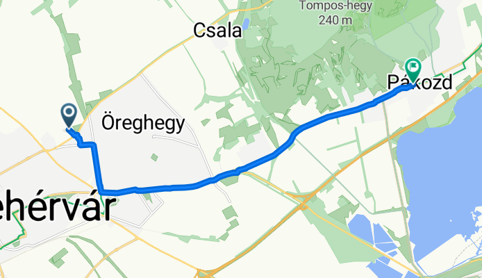
By bicycle from Székesfehérvár to Pákozd
Customize your own route based on our template or discover how our community prefers to cycle from Székesfehérvár to Pákozd.
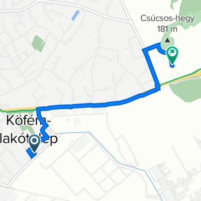
Route template
Székesfehérvár to Pákozd

- 43 min
- Duration
- 13 km
- Distance
- 72 m
- Ascent
- 64 m
- Descent
- 18 km/h
- Avg. speed
- 156 m
- Max. altitude
This scenic ride starts in Székesfehérvár, a historic city often called the "city of kings" thanks to its royal past as Hungary's medieval capital. From the lively center, you’ll follow mainly smooth asphalt paths (it’s 100% paved!), with most of your route on dedicated cycleways—perfect for a relaxed spin.
The 13 km stretch brings gentle hills, climbing just over 70 meters, so expect a few mild inclines but nothing too intense. You’ll cruise past peaceful countryside and small villages, making it a great way to soak in nature and local life.
Your ride ends in Pákozd, famous for its role in the 1848 Battle of Pákozd—there’s even a military memorial park if you fancy a look around. Just under an hour’s pedal for most riders, this is an easygoing route suitable for nearly any cyclist looking to escape the crowds and enjoy a bit of Hungarian history with their exercise.
Community
Top users in this region


From our community
The best bike routes from Székesfehérvár to Pákozd
Berényi út 72-100/198 - Rákóczi utca
Cycling route in Székesfehérvár, Fejér, Hungary
- 10.2 km
- Distance
- 47 m
- Ascent
- 105 m
- Descent

Velencei tó - Székesfehérvárról
Cycling route in Székesfehérvár, Fejér, Hungary
- 41.2 km
- Distance
- 140 m
- Ascent
- 124 m
- Descent

Székesfehérvár - Szúnyog sziget
Cycling route in Székesfehérvár, Fejér, Hungary
- 13.1 km
- Distance
- 62 m
- Ascent
- 95 m
- Descent

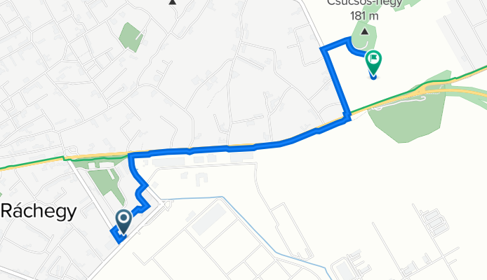
Székesfehérvár - Pákozd, Miskahuszár szobra
Cycling route in Székesfehérvár, Fejér, Hungary
- 8.7 km
- Distance
- 41 m
- Ascent
- 69 m
- Descent

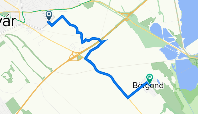
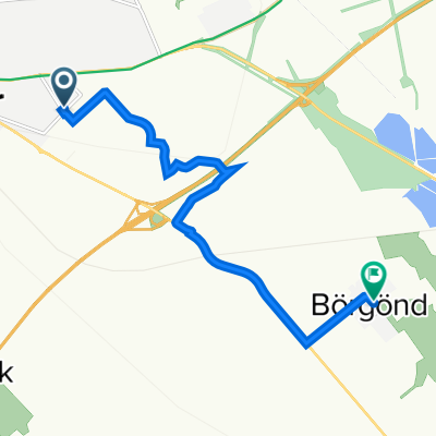
Velencei tó körbe
Cycling route in Székesfehérvár, Fejér, Hungary
- 43.9 km
- Distance
- 215 m
- Ascent
- 235 m
- Descent

ballaton Runde
Cycling route in Székesfehérvár, Fejér, Hungary
- 305.9 km
- Distance
- 1,010 m
- Ascent
- 1,007 m
- Descent

Balatoni út 143, Székesfehérvár - Kerékpárút, Pákozd
Cycling route in Székesfehérvár, Fejér, Hungary
- 13.5 km
- Distance
- 455 m
- Ascent
- 456 m
- Descent
Verseci utca Üzletsor, Székesfehérvár - Fő utca 23, Székesfehérvár
Cycling route in Székesfehérvár, Fejér, Hungary
- 8.6 km
- Distance
- 8 m
- Ascent
- 29 m
- Descent

Verseci utca Üzletsor, Székesfehérvár - Nagyszombati utca 257, Székesfehérvár
Cycling route in Székesfehérvár, Fejér, Hungary
- 3.1 km
- Distance
- 17 m
- Ascent
- 0 m
- Descent

Recording from május 20., 05:05
Cycling route in Székesfehérvár, Fejér, Hungary
- 8.5 km
- Distance
- 44 m
- Ascent
- 29 m
- Descent

Bence Hegy - Nadapi Emelkedő
Cycling route in Székesfehérvár, Fejér, Hungary
- 49.4 km
- Distance
- 281 m
- Ascent
- 329 m
- Descent
Discover more routes
 Velencei tó körbe
- Distance
- 43.9 km
- Ascent
- 215 m
- Descent
- 235 m
- Location
- Székesfehérvár, Fejér, Hungary
 ballaton Runde
- Distance
- 305.9 km
- Ascent
- 1,010 m
- Descent
- 1,007 m
- Location
- Székesfehérvár, Fejér, Hungary
 Balatoni út 143, Székesfehérvár - Kerékpárút, Pákozd
- Distance
- 13.5 km
- Ascent
- 455 m
- Descent
- 456 m
- Location
- Székesfehérvár, Fejér, Hungary
 Verseci utca Üzletsor, Székesfehérvár - Fő utca 23, Székesfehérvár
- Distance
- 8.6 km
- Ascent
- 8 m
- Descent
- 29 m
- Location
- Székesfehérvár, Fejér, Hungary
 Szfv Pákozd
- Distance
- 12.8 km
- Ascent
- 58 m
- Descent
- 48 m
- Location
- Székesfehérvár, Fejér, Hungary
 Verseci utca Üzletsor, Székesfehérvár - Nagyszombati utca 257, Székesfehérvár
- Distance
- 3.1 km
- Ascent
- 17 m
- Descent
- 0 m
- Location
- Székesfehérvár, Fejér, Hungary
 Recording from május 20., 05:05
- Distance
- 8.5 km
- Ascent
- 44 m
- Descent
- 29 m
- Location
- Székesfehérvár, Fejér, Hungary
 Bence Hegy - Nadapi Emelkedő
- Distance
- 49.4 km
- Ascent
- 281 m
- Descent
- 329 m
- Location
- Székesfehérvár, Fejér, Hungary
Routes from Székesfehérvár
Cycling day trip from
Székesfehérvár to Balatonkenese
Cycling day trip from
Székesfehérvár to Velence
By bicycle from
Székesfehérvár to Szabadbattyán
Routes to Pákozd
By bicycle from
Gárdony to Pákozd
By bicycle from
Velence to Pákozd