
Cycling day trip from Gbely to Bratislava
Customize your own route based on our template or discover how our community prefers to cycle from Gbely to Bratislava.
Route template
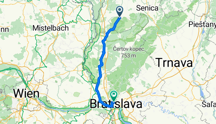
Gbely to Bratislava

- 9 h 2 min
- Duration
- 107.2 km
- Distance
- 718 m
- Ascent
- 750 m
- Descent
- 11.9 km/h
- Avg. speed
- 414 m
- Max. altitude
Cycling Route: Gbely to Bratislava
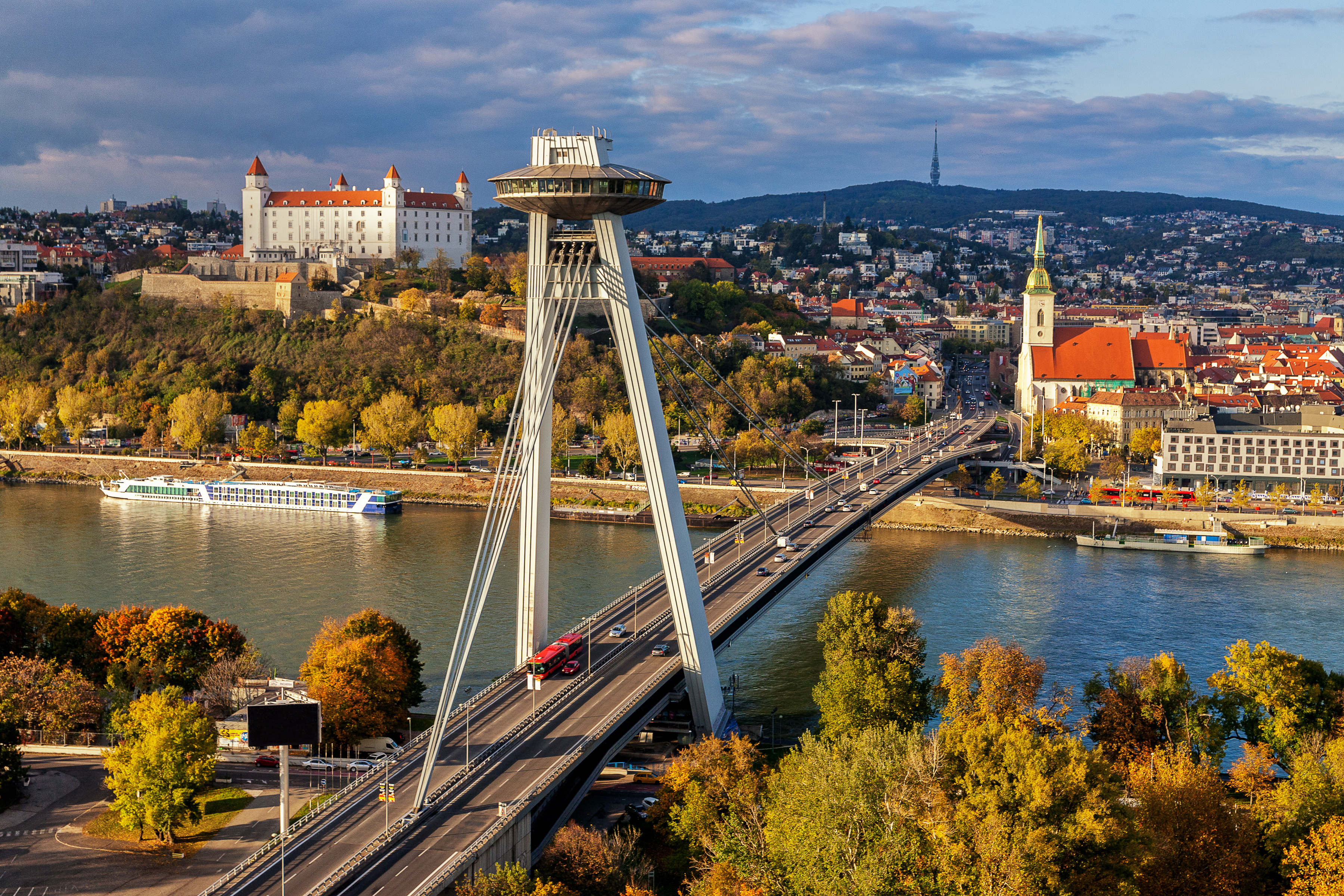
Ready for a long ride? This route takes you from Gbely, a peaceful town nestled near the Morava River (famous for its oil fields and bird reserves), all the way to Slovakia’s lively capital, Bratislava. You’ll clock in a sturdy 107 km—definitely a full-day adventure, but absolutely doable for those used to longer distances!
Starting in Gbely’s calm countryside, you’ll spin through a variety of surfaces. Most of your ride is smooth, paved or asphalt—ideal for road bikes—though expect some stretches (about 14%) of gravel and unpaved paths that add a fun bit of challenge. With around 718 meters of climbing (but a tad more descending!), you’ll get some great views, especially as you hit the higher segments.
You’ll mostly cruise on quiet rural roads and occasional tracks, far from heavy traffic. Roll past quaint villages and farmland, soak up the scenery, and before you know it, you’ll glide into Bratislava, where the Danube, castles, and vibrant city vibes await. Perfect for anyone eager to see Slovakia’s changing character—from serene fields to bustling urban streets—all on two wheels!
Community
Top users in this region


From our community
The best bike routes from Gbely to Bratislava

MoreLove5
Cycling route in Gbely, Trnava Region, Slovakia
- 78.2 km
- Distance
- 163 m
- Ascent
- 154 m
- Descent

Sastin Rohoznik Lozorno Devin Bratislava CLONED FROM ROUTE 542505
Cycling route in Gbely, Trnava Region, Slovakia
- 87.2 km
- Distance
- 247 m
- Ascent
- 283 m
- Descent

ZAPADNA HRANICA I - Morava
Cycling route in Gbely, Trnava Region, Slovakia
- 85 km
- Distance
- 116 m
- Ascent
- 147 m
- Descent

4 countries 1 day plan
Cycling route in Gbely, Trnava Region, Slovakia
- 254.3 km
- Distance
- 279 m
- Ascent
- 301 m
- Descent

Z2 Styri krajiny za jeden den
Cycling route in Gbely, Trnava Region, Slovakia
- 170.9 km
- Distance
- 311 m
- Ascent
- 339 m
- Descent

kuty-passau-bratislava
Cycling route in Gbely, Trnava Region, Slovakia
- 821.4 km
- Distance
- 7,076 m
- Ascent
- 7,035 m
- Descent


MoravskyJan-TrojmedzieSkAtCz-BA
Cycling route in Gbely, Trnava Region, Slovakia
- 100.7 km
- Distance
- 81 m
- Ascent
- 109 m
- Descent

KUTY - DEVIN
Cycling route in Gbely, Trnava Region, Slovakia
- 87 km
- Distance
- 135 m
- Ascent
- 150 m
- Descent

Moravsky Jan - Devin
Cycling route in Gbely, Trnava Region, Slovakia
- 65 km
- Distance
- 41 m
- Ascent
- 55 m
- Descent

From Šaštín-Stráže to Bratislava
Cycling route in Gbely, Trnava Region, Slovakia
- 73.7 km
- Distance
- 257 m
- Ascent
- 215 m
- Descent
Discover more routes
 Z2 Styri krajiny za jeden den
- Distance
- 170.9 km
- Ascent
- 311 m
- Descent
- 339 m
- Location
- Gbely, Trnava Region, Slovakia
 kuty-passau-bratislava
- Distance
- 821.4 km
- Ascent
- 7,076 m
- Descent
- 7,035 m
- Location
- Gbely, Trnava Region, Slovakia
 msvjan-ba
- Distance
- 79.5 km
- Ascent
- 80 m
- Descent
- 70 m
- Location
- Gbely, Trnava Region, Slovakia
 MoravskyJan-TrojmedzieSkAtCz-BA
- Distance
- 100.7 km
- Ascent
- 81 m
- Descent
- 109 m
- Location
- Gbely, Trnava Region, Slovakia
 KUTY - DEVIN
- Distance
- 87 km
- Ascent
- 135 m
- Descent
- 150 m
- Location
- Gbely, Trnava Region, Slovakia
 Moravsky Jan - Devin
- Distance
- 65 km
- Ascent
- 41 m
- Descent
- 55 m
- Location
- Gbely, Trnava Region, Slovakia
 Iron Curtian6
- Distance
- 81.7 km
- Ascent
- 80 m
- Descent
- 93 m
- Location
- Gbely, Trnava Region, Slovakia
 From Šaštín-Stráže to Bratislava
- Distance
- 73.7 km
- Ascent
- 257 m
- Descent
- 215 m
- Location
- Gbely, Trnava Region, Slovakia
Routes to Bratislava
Cycling day trip from
Bad Deutsch-Altenburg to Bratislava
Cycling day trip from
Marchegg to Bratislava
Quick ride by bicycle from
Marianka to Bratislava