
Quick ride by bicycle from Falcon Heights to Saint Paul
Customize your own route based on our template or discover how our community prefers to cycle from Falcon Heights to Saint Paul.
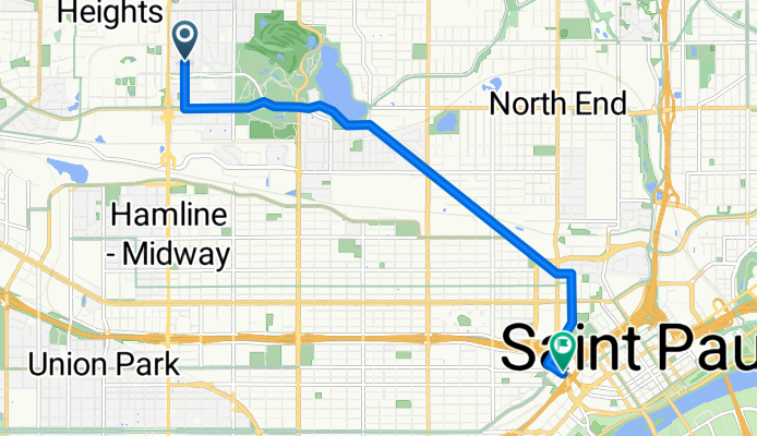
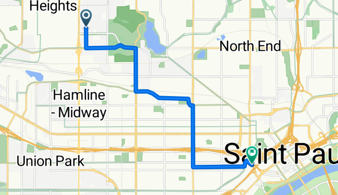
Route template
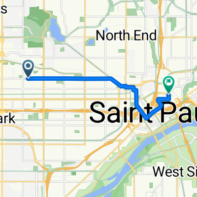
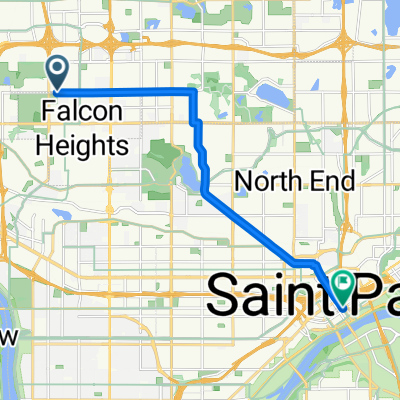
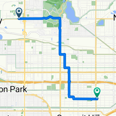
Falcon Heights to Saint Paul
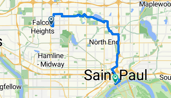
- 49 min
- Duration
- 14.5 km
- Distance
- 86 m
- Ascent
- 143 m
- Descent
- 17.8 km/h
- Avg. speed
- 304 m
- Max. altitude
Roll out from Falcon Heights by the U of M’s St. Paul campus and the Minnesota State Fairgrounds, then hop on the Como Avenue bikeway toward Como Park. From there, angle southeast on a mix of protected paths and quiet streets, threading your way toward the Minnesota State Capitol. It’s almost entirely paved and feels smooth and steady, with a gentle net descent as you drop into Saint Paul.
If you’ve got time, pause at Como Park & Conservatory, then glide past the Capitol dome and link into the Capital City Bikeway to reach downtown/Lowertown. The ride is about 14.5 km with modest rolling elevation—nothing too spicy.
Fun facts: Falcon Heights punches above its weight as home to the Great Minnesota Get-Together (the State Fair). Saint Paul, Minnesota’s capital, is known for its river bluffs, grand Summit Avenue mansions, CHS Field and Mears Park in Lowertown, and an increasingly connected bike network.
Community
Top users in this region


From our community
The best bike routes from Falcon Heights to Saint Paul

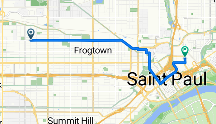
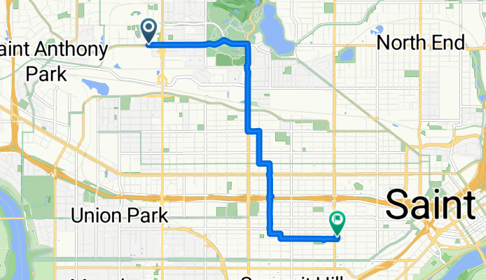
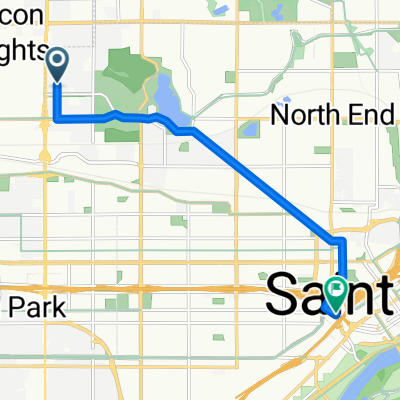
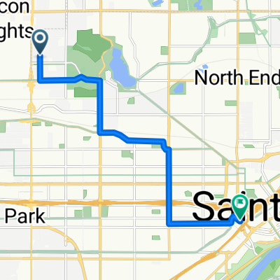
B2B00063 55108 > 55102 via Midway Pkwy, Como Ave, Western Ave and Selby Ave
Cycling route in Falcon Heights, Minnesota, United States
- 6.7 km
- Distance
- 19 m
- Ascent
- 26 m
- Descent

Midway to St. Paul (AM)
Cycling route in Falcon Heights, Minnesota, United States
- 7.2 km
- Distance
- 0 m
- Ascent
- 31 m
- Descent

B2B00295 55104 > 55102 via Marshall
Cycling route in Falcon Heights, Minnesota, United States
- 7.9 km
- Distance
- 8 m
- Ascent
- 47 m
- Descent

Mississippi River Boulevard to Heliport
Cycling route in Falcon Heights, Minnesota, United States
- 36.6 km
- Distance
- 237 m
- Ascent
- 230 m
- Descent
B2B 55108 > 55102 via Como Ave
Cycling route in Falcon Heights, Minnesota, United States
- 7.6 km
- Distance
- 3 m
- Ascent
- 26 m
- Descent
B2B0003155104>55101 via griggs, dayton, Jireland, and roberts
Cycling route in Falcon Heights, Minnesota, United States
- 7.7 km
- Distance
- 4 m
- Ascent
- 45 m
- Descent
B2B00233 55104>55155 via minnehaha, como, cedar, and 9th
Cycling route in Falcon Heights, Minnesota, United States
- 7.3 km
- Distance
- 14 m
- Ascent
- 56 m
- Descent
B2B 55108 > 55102 via Como Ave
Cycling route in Falcon Heights, Minnesota, United States
- 7.5 km
- Distance
- 0 m
- Ascent
- 23 m
- Descent
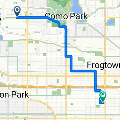
Como Ave & Fairgrounds - Gate #9 to Laurel Avenue
Cycling route in Falcon Heights, Minnesota, United States
- 7.4 km
- Distance
- 24 m
- Ascent
- 22 m
- Descent
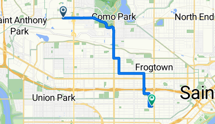
B2B00582 55101 < 55113 via Raymond, Victoria, Como, Jackson
Cycling route in Falcon Heights, Minnesota, United States
- 11.3 km
- Distance
- 27 m
- Ascent
- 86 m
- Descent
Como Ave & Fairgrounds - Gate #9 to Laurel Avenue
Cycling route in Falcon Heights, Minnesota, United States
- 8.3 km
- Distance
- 69 m
- Ascent
- 41 m
- Descent
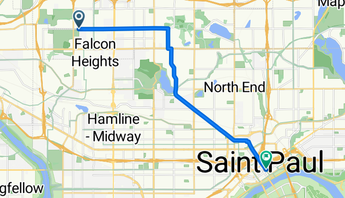
B2B 55108 > 55102 via Lexington Pkwy, Dale St
Cycling route in Falcon Heights, Minnesota, United States
- 8.5 km
- Distance
- 8 m
- Ascent
- 16 m
- Descent
Discover more routes
 B2B 55108 > 55102 via Como Ave
- Distance
- 7.6 km
- Ascent
- 3 m
- Descent
- 26 m
- Location
- Falcon Heights, Minnesota, United States
 B2B0003155104>55101 via griggs, dayton, Jireland, and roberts
- Distance
- 7.7 km
- Ascent
- 4 m
- Descent
- 45 m
- Location
- Falcon Heights, Minnesota, United States
 B2B00233 55104>55155 via minnehaha, como, cedar, and 9th
- Distance
- 7.3 km
- Ascent
- 14 m
- Descent
- 56 m
- Location
- Falcon Heights, Minnesota, United States
 B2B 55108 > 55102 via Como Ave
- Distance
- 7.5 km
- Ascent
- 0 m
- Descent
- 23 m
- Location
- Falcon Heights, Minnesota, United States
 Como Ave & Fairgrounds - Gate #9 to Laurel Avenue
- Distance
- 7.4 km
- Ascent
- 24 m
- Descent
- 22 m
- Location
- Falcon Heights, Minnesota, United States
 B2B00582 55101 < 55113 via Raymond, Victoria, Como, Jackson
- Distance
- 11.3 km
- Ascent
- 27 m
- Descent
- 86 m
- Location
- Falcon Heights, Minnesota, United States
 Como Ave & Fairgrounds - Gate #9 to Laurel Avenue
- Distance
- 8.3 km
- Ascent
- 69 m
- Descent
- 41 m
- Location
- Falcon Heights, Minnesota, United States
 B2B 55108 > 55102 via Lexington Pkwy, Dale St
- Distance
- 8.5 km
- Ascent
- 8 m
- Descent
- 16 m
- Location
- Falcon Heights, Minnesota, United States
Routes from Falcon Heights
Quick ride by bicycle from
Falcon Heights to Minneapolis
Routes to Saint Paul
Cycling day trip from
Minneapolis to Saint Paul