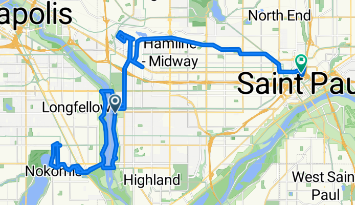

Mississippi River Boulevard to Heliport
A cycling route starting in Falcon Heights, Minnesota, United States.
Overview
About this route
0
- 1 min
- Duration
- 36.6 km
- Distance
- 237 m
- Ascent
- 230 m
- Descent
- 1,966.5 km/h
- Avg. speed
- 281 m
- Max. altitude
Tom Johnston
created this 9 months ago
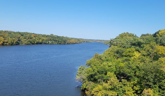
Route photos
Route quality
Waytypes & surfaces along the route
Waytypes
Cycleway
10.2 km
28 %
Road
7.3 km
20 %
Surfaces
Paved
27.4 km
(75 %)
Asphalt
23.1 km
63 %
Concrete
2.6 km
7 %
Continue with Bikemap
Use, edit, or download this cycling route
You would like to ride Mississippi River Boulevard to Heliport or customize it for your own trip? Here is what you can do with this Bikemap route:
Free features
- Save this route as favorite or in collections
- Copy & plan your own version of this route
- Sync your route with Garmin or Wahoo
Premium features
Free trial for 3 days, or one-time payment. More about Bikemap Premium.
- Navigate this route on iOS & Android
- Export a GPX / KML file of this route
- Create your custom printout (try it for free)
- Download this route for offline navigation
Discover more Premium features.
Get Bikemap PremiumFrom our community
Other popular routes starting in Falcon Heights


B2B00346 55108 > 55401 via Hoyt, Transit Way, 5th St, Stone Arch0- 12.3 km
- 74 m
- 88 m
- Falcon Heights, Minnesota, United States

B2B00339 55104 > 55415 via Fairview, Marshall, River Road0- 11.5 km
- 55 m
- 84 m
- Falcon Heights, Minnesota, United States
B2B00342 55415>55415 via Como Ave, Transitway, 4th St SE, Stone Arch Bridge0- 12.1 km
- 84 m
- 88 m
- Falcon Heights, Minnesota, United States
Open it in the app