
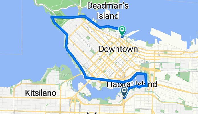
Route template
Vancouver to West End

- 19 min
- Duration
- 5.5 km
- Distance
- 48 m
- Ascent
- 74 m
- Descent
- 17.1 km/h
- Avg. speed
- 75 m
- Max. altitude
This ride takes you from the heart of Vancouver up to the vibrant West End, covering just under 5.5 km—perfect for a relaxed city spin or an easy commute. The route mostly follows smooth asphalt and paved cycleways, with over half the distance on dedicated bike paths and the rest along quiet local roads, so you’ll feel pretty comfortable even if traffic isn’t your thing.
You’ll start near downtown Vancouver, a bustling area known for its coffee shops, shops, and beautiful city views. As you wind north, expect a gentle climb of about 48 meters before a cruisy descent, with a high point around 75 meters. Keep an eye out for city landmarks and plenty of green spaces.
Your destination, the West End, is one of Vancouver’s most beloved neighborhoods. Famous for its leafy, tree-lined streets, diverse food scene, and proximity to the iconic Stanley Park, it’s the perfect place to roll off your bike, grab a coffee, or start a stroll by the waterfront. Altogether, it’s a chill, scenic ride through some of the city’s best spots.
Community
Top users in this region


From our community
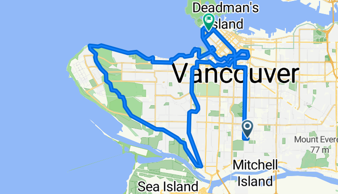
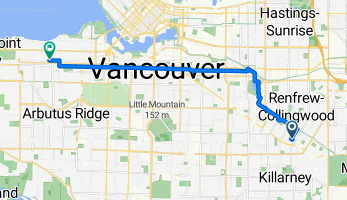
The best bike routes from Vancouver to West End


Ash Street to West Pender Street
Cycling route in Vancouver, British Columbia, Canada
- 9.8 km
- Distance
- 86 m
- Ascent
- 64 m
- Descent
Arbutus Greenway UBC Loop
Cycling route in Vancouver, British Columbia, Canada
- 51.2 km
- Distance
- 373 m
- Ascent
- 407 m
- Descent

East 6th Avenue to Terminal Avenue
Cycling route in Vancouver, British Columbia, Canada
- 29.4 km
- Distance
- 500 m
- Ascent
- 468 m
- Descent

Route to Jericho beach
Cycling route in Vancouver, British Columbia, Canada
- 11.9 km
- Distance
- 64 m
- Ascent
- 139 m
- Descent

Jericho via ubc
Cycling route in Vancouver, British Columbia, Canada
- 13.7 km
- Distance
- 103 m
- Ascent
- 138 m
- Descent
Bursill Street to West Broadway
Cycling route in Vancouver, British Columbia, Canada
- 12.5 km
- Distance
- 73 m
- Ascent
- 145 m
- Descent


Vancouver to Iona Beach around UBC - Loop
Cycling route in Vancouver, British Columbia, Canada
- 46.9 km
- Distance
- 170 m
- Ascent
- 178 m
- Descent

Commute to St. Paul's Hospital
Cycling route in Vancouver, British Columbia, Canada
- 11.4 km
- Distance
- 87 m
- Ascent
- 142 m
- Descent

Cycling
Cycling route in Vancouver, British Columbia, Canada
- 6.2 km
- Distance
- 54 m
- Ascent
- 35 m
- Descent

South Van to Kits
Cycling route in Vancouver, British Columbia, Canada
- 11.8 km
- Distance
- 62 m
- Ascent
- 153 m
- Descent

850 W 15th Ave, Vancouver to 390 Cambie St, Vancouver
Cycling route in Vancouver, British Columbia, Canada
- 4.2 km
- Distance
- 115 m
- Ascent
- 150 m
- Descent
Discover more routes
 Jericho via ubc
- Distance
- 13.7 km
- Ascent
- 103 m
- Descent
- 138 m
- Location
- Vancouver, British Columbia, Canada
 Bursill Street to West Broadway
- Distance
- 12.5 km
- Ascent
- 73 m
- Descent
- 145 m
- Location
- Vancouver, British Columbia, Canada
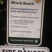 Wreck Beach
- Distance
- 8.6 km
- Ascent
- 98 m
- Descent
- 84 m
- Location
- Vancouver, British Columbia, Canada
 Vancouver to Iona Beach around UBC - Loop
- Distance
- 46.9 km
- Ascent
- 170 m
- Descent
- 178 m
- Location
- Vancouver, British Columbia, Canada
 Commute to St. Paul's Hospital
- Distance
- 11.4 km
- Ascent
- 87 m
- Descent
- 142 m
- Location
- Vancouver, British Columbia, Canada
 Cycling
- Distance
- 6.2 km
- Ascent
- 54 m
- Descent
- 35 m
- Location
- Vancouver, British Columbia, Canada
 South Van to Kits
- Distance
- 11.8 km
- Ascent
- 62 m
- Descent
- 153 m
- Location
- Vancouver, British Columbia, Canada
 850 W 15th Ave, Vancouver to 390 Cambie St, Vancouver
- Distance
- 4.2 km
- Ascent
- 115 m
- Descent
- 150 m
- Location
- Vancouver, British Columbia, Canada
Routes from Vancouver
Cycling day trip from
Vancouver to New Westminster
By bicycle from
Vancouver to North Vancouver
By bicycle from
Vancouver to Richmond
Routes to West End
Cycling day trip from
New Westminster to West End
Cycling day trip from
Port Moody to West End
By bicycle from
Burnaby to West End
By bicycle from
Richmond to West End