
By bicycle from West End of London to Holloway
Customize your own route based on our template or discover how our community prefers to cycle from West End of London to Holloway.
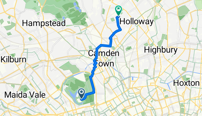
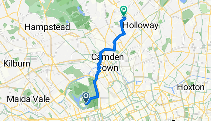
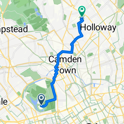
Route template
West End of London to Holloway

- 32 min
- Duration
- 9.1 km
- Distance
- 45 m
- Ascent
- 38 m
- Descent
- 17 km/h
- Avg. speed
- 54 m
- Max. altitude
Set off from the vibrant West End of London—home to world-famous theatres, bustling Oxford Street shopping, and iconic landmarks like Soho and Covent Garden. From the heart of the city, you’ll enjoy a largely smooth ride north towards Holloway, mostly along quiet roads and cycleways, perfect for a relaxed urban cycling experience.
The route is just over 9 kilometers, so it’s a manageable spin without any serious hills; you’ll barely notice the gentle ascent of just about 45 meters. Expect mostly asphalt and paving stones under your tires as you cruise through Bloomsbury’s leafy streets, perhaps passing by the British Museum if you fancy a quick detour.
Roll into Holloway, a lively and diverse north London neighbourhood. Known for its independent cafes and proximity to Emirates Stadium (home of Arsenal FC), Holloway is a great spot to wrap up your ride with a coffee or bite. Enjoy the city scenery, the mix of historic and modern London, and the ease of dedicated cycling infrastructure along most of the route!
Community
Top users in this region


From our community
The best bike routes from West End of London to Holloway

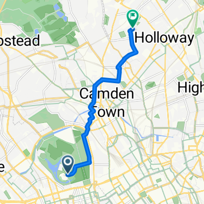
10 Oriel Buildings, Margaret Street, London to 23 Southcote Road, London
Cycling route in West End of London, England, United Kingdom
- 5.3 km
- Distance
- 37 m
- Ascent
- 23 m
- Descent

12 Audley House, Great Titchfield Street, London to 23 Southcote Road, London
Cycling route in West End of London, England, United Kingdom
- 5.6 km
- Distance
- 62 m
- Ascent
- 46 m
- Descent

14-18 Great Titchfield House, Great Titchfield Street, London to 23 Southcote Road, London
Cycling route in West End of London, England, United Kingdom
- 5.3 km
- Distance
- 45 m
- Ascent
- 35 m
- Descent

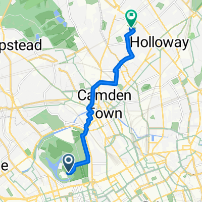
3 Gateforth Street, London to 23 Southcote Road, London
Cycling route in West End of London, England, United Kingdom
- 5.9 km
- Distance
- 56 m
- Ascent
- 49 m
- Descent

10 Oriel Buildings, Margaret Street, London to 23 Southcote Road, London
Cycling route in West End of London, England, United Kingdom
- 5.3 km
- Distance
- 45 m
- Ascent
- 28 m
- Descent

Carnaby Street, London to 23 Southcote Road, London
Cycling route in West End of London, England, United Kingdom
- 5.8 km
- Distance
- 82 m
- Ascent
- 67 m
- Descent
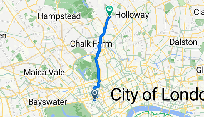
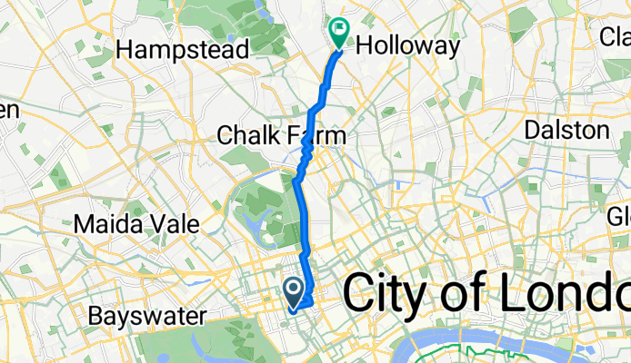
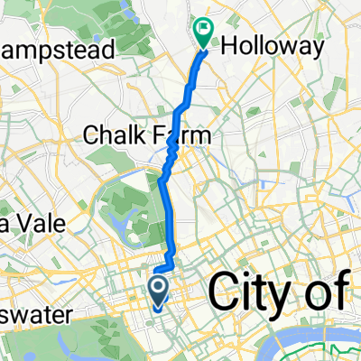
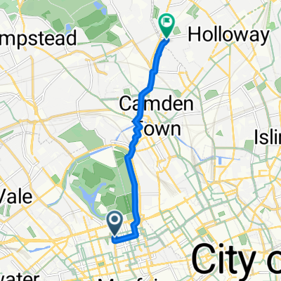
Inner Circle, London to Yerbury Road, London
Cycling route in West End of London, England, United Kingdom
- 5.7 km
- Distance
- 45 m
- Ascent
- 49 m
- Descent
67–83 Davies Street, London to 231 Tufnell Park Road, London
Cycling route in West End of London, England, United Kingdom
- 5.7 km
- Distance
- 48 m
- Ascent
- 29 m
- Descent
58 Davies Street, London to 23 Southcote Road, London
Cycling route in West End of London, England, United Kingdom
- 5.8 km
- Distance
- 58 m
- Ascent
- 62 m
- Descent
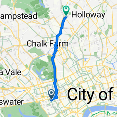
City of Westminster, London to Holloway Road, London
Cycling route in West End of London, England, United Kingdom
- 6.2 km
- Distance
- 52 m
- Ascent
- 42 m
- Descent

36 Marylebone High St, London to 23 Southcote Road, London
Cycling route in West End of London, England, United Kingdom
- 5 km
- Distance
- 63 m
- Ascent
- 47 m
- Descent
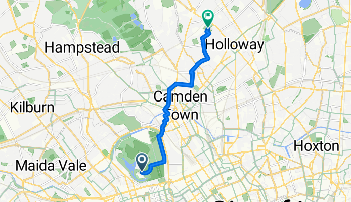
City of Westminster, London to Islington, London
Cycling route in West End of London, England, United Kingdom
- 6 km
- Distance
- 37 m
- Ascent
- 32 m
- Descent
Discover more routes
 10 Oriel Buildings, Margaret Street, London to 23 Southcote Road, London
- Distance
- 5.3 km
- Ascent
- 45 m
- Descent
- 28 m
- Location
- West End of London, England, United Kingdom
 Carnaby Street, London to 23 Southcote Road, London
- Distance
- 5.8 km
- Ascent
- 82 m
- Descent
- 67 m
- Location
- West End of London, England, United Kingdom
 Inner Circle, London to Yerbury Road, London
- Distance
- 5.7 km
- Ascent
- 45 m
- Descent
- 49 m
- Location
- West End of London, England, United Kingdom
 67–83 Davies Street, London to 231 Tufnell Park Road, London
- Distance
- 5.7 km
- Ascent
- 48 m
- Descent
- 29 m
- Location
- West End of London, England, United Kingdom
 58 Davies Street, London to 23 Southcote Road, London
- Distance
- 5.8 km
- Ascent
- 58 m
- Descent
- 62 m
- Location
- West End of London, England, United Kingdom
 City of Westminster, London to Holloway Road, London
- Distance
- 6.2 km
- Ascent
- 52 m
- Descent
- 42 m
- Location
- West End of London, England, United Kingdom
 36 Marylebone High St, London to 23 Southcote Road, London
- Distance
- 5 km
- Ascent
- 63 m
- Descent
- 47 m
- Location
- West End of London, England, United Kingdom
 City of Westminster, London to Islington, London
- Distance
- 6 km
- Ascent
- 37 m
- Descent
- 32 m
- Location
- West End of London, England, United Kingdom
Routes from West End of London
By bicycle from
West End of London to Clerkenwell
By bicycle from
West End of London to City of London
Routes to Holloway
By bicycle from
Belsize Park to Holloway
By bicycle from
Hackney to Holloway