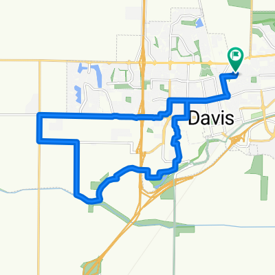
Pole Line Road to The ARC- Activities and Recreation Center
- 5.6 km
- 15 m
- 6 m
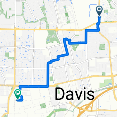
- Davis, California, United States
A cycling route starting in Davis, California, United States.
Overview
This route takes the backroads of the outer Sacramento Valley from Davis to Red Bluff and then the remote highways of Trinity County to Hyampom.
created this 4 years ago
Route quality
Quiet road
100.8 km
(24 %)
Road
71.4 km
(17 %)
Paved
126.1 km
(30 %)
Unpaved
42 km
(10 %)
Asphalt
71.4 km
(17 %)
Paved (undefined)
54.6 km
(13 %)
Continue with Bikemap
You would like to ride Davis > Hyampom Outer Valley Rte or customize it for your own trip? Here is what you can do with this Bikemap route:
Free trial for 3 days, or one-time payment. More about Bikemap Premium.
Discover more Premium features.
Get Bikemap PremiumFrom our community
Open it in the app