

Bad Salzungen // Walnusshof; Langenfelder Str. 2 nach Tropfsteinhöhle Kittelsthal und zurück
A cycling route starting in Bad Salzungen, Thuringia, Germany.
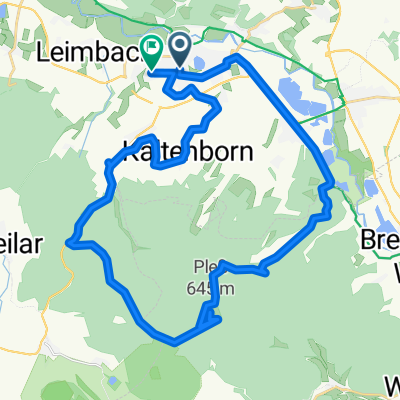
Overview
About this route
- -:--
- Duration
- 51.4 km
- Distance
- 823 m
- Ascent
- 822 m
- Descent
- ---
- Avg. speed
- 592 m
- Max. altitude

Route quality
Waytypes & surfaces along the route
Waytypes
Track
18.5 km
(36 %)
Quiet road
15.9 km
(31 %)
Surfaces
Paved
25.7 km
(50 %)
Unpaved
13.9 km
(27 %)
Asphalt
21.6 km
(42 %)
Gravel
11.3 km
(22 %)
Route highlights
Points of interest along the route
Point of interest after 23.8 km
Tropfsteinhöhle Kittelsthal
Point of interest after 28.4 km
Erlebnisrodelbahn Ruhla
Continue with Bikemap
Use, edit, or download this cycling route
You would like to ride Bad Salzungen // Walnusshof; Langenfelder Str. 2 nach Tropfsteinhöhle Kittelsthal und zurück or customize it for your own trip? Here is what you can do with this Bikemap route:
Free features
- Save this route as favorite or in collections
- Copy & plan your own version of this route
- Sync your route with Garmin or Wahoo
Premium features
Free trial for 3 days, or one-time payment. More about Bikemap Premium.
- Navigate this route on iOS & Android
- Export a GPX / KML file of this route
- Create your custom printout (try it for free)
- Download this route for offline navigation
Discover more Premium features.
Get Bikemap PremiumFrom our community
Other popular routes starting in Bad Salzungen
 Bad Salzungen // Walnusshof; Langenfelder Str. 2 nach Tropfsteinhöhle Kittelsthal und zurück
- Distance
- 51.4 km
- Ascent
- 823 m
- Descent
- 822 m
- Location
- Bad Salzungen, Thuringia, Germany
 vom Bahnhof Bad Salzungen über den Pumpälzweg nach Eisenach zum Bahnhof
- Distance
- 31.9 km
- Ascent
- 572 m
- Descent
- 599 m
- Location
- Bad Salzungen, Thuringia, Germany
 13.07.24 Bad Salzungen-Hörschel
- Distance
- 79.9 km
- Ascent
- 289 m
- Descent
- 331 m
- Location
- Bad Salzungen, Thuringia, Germany
 2001 Werratal Bad Salzungen bis Gerstungen
- Distance
- 48.9 km
- Ascent
- 326 m
- Descent
- 354 m
- Location
- Bad Salzungen, Thuringia, Germany
 Bad-Salzungen nach Oberhof
- Distance
- 80.5 km
- Ascent
- 1,155 m
- Descent
- 625 m
- Location
- Bad Salzungen, Thuringia, Germany
 Kaltenborn-Schönsee und zurück
- Distance
- 17.7 km
- Ascent
- 341 m
- Descent
- 346 m
- Location
- Bad Salzungen, Thuringia, Germany
 Pleßrunde
- Distance
- 34.5 km
- Ascent
- 450 m
- Descent
- 452 m
- Location
- Bad Salzungen, Thuringia, Germany
 Moorgrundrunde
- Distance
- 31.8 km
- Ascent
- 337 m
- Descent
- 337 m
- Location
- Bad Salzungen, Thuringia, Germany
Open it in the app