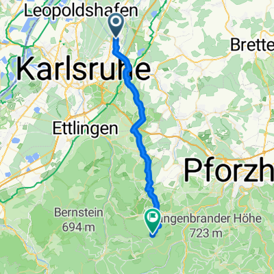
Hügelkurs - Rund um Obergrombach
A cycling route starting in Weingarten, Baden-Wurttemberg, Germany.
Overview
About this route
Von Untergrombach durch die Ungeheuerklamm über Binsheim zum Kraichgaublick am Bonartshäuser Hof. Auf der Höhe zum Obergrombacher Hundeverein und über den Michaelsberg wieder zurück nach Untergrombach
- -:--
- Duration
- 21.3 km
- Distance
- 366 m
- Ascent
- 367 m
- Descent
- ---
- Avg. speed
- ---
- Max. altitude
Continue with Bikemap
Use, edit, or download this cycling route
You would like to ride Hügelkurs - Rund um Obergrombach or customize it for your own trip? Here is what you can do with this Bikemap route:
Free features
- Save this route as favorite or in collections
- Copy & plan your own version of this route
- Sync your route with Garmin or Wahoo
Premium features
Free trial for 3 days, or one-time payment. More about Bikemap Premium.
- Navigate this route on iOS & Android
- Export a GPX / KML file of this route
- Create your custom printout (try it for free)
- Download this route for offline navigation
Discover more Premium features.
Get Bikemap PremiumFrom our community
Other popular routes starting in Weingarten
- Abwechslungsreiche Hügeltour (Autofrei, Untergrombach, Sallenbusch, Helmsheim)
- Distance
- 25 km
- Ascent
- 405 m
- Descent
- 404 m
- Location
- Weingarten, Baden-Wurttemberg, Germany
- Untergrombach -Staffort-Blankenloch-Storrenacker-Grötzingen-Weingarten-UG
- Distance
- 25.4 km
- Ascent
- 19 m
- Descent
- 21 m
- Location
- Weingarten, Baden-Wurttemberg, Germany
- Weingarten 4 Hügeltour
- Distance
- 36.5 km
- Ascent
- 514 m
- Descent
- 512 m
- Location
- Weingarten, Baden-Wurttemberg, Germany
- Untergrombach-Grötzinger NFH-Turmberg-Thomashof-Kleinsteinbach-Trais-Jöhlingen-Weingarten-Untergrombach
- Distance
- 45.5 km
- Ascent
- 460 m
- Descent
- 461 m
- Location
- Weingarten, Baden-Wurttemberg, Germany
- Untergrombach-Wössingen-Wöschbach und zurück
- Distance
- 38.8 km
- Ascent
- 374 m
- Descent
- 370 m
- Location
- Weingarten, Baden-Wurttemberg, Germany
- Leiling
- Distance
- 50.7 km
- Ascent
- 161 m
- Descent
- 60 m
- Location
- Weingarten, Baden-Wurttemberg, Germany
- Rund um den Höheforst
- Distance
- 13.5 km
- Ascent
- 255 m
- Descent
- 252 m
- Location
- Weingarten, Baden-Wurttemberg, Germany
- Hügelkurs - Rund um Obergrombach
- Distance
- 21.3 km
- Ascent
- 366 m
- Descent
- 367 m
- Location
- Weingarten, Baden-Wurttemberg, Germany
Open it in the app