Austria 14- kitzbuhel
- 128 km
- 958 m
- 954 m
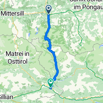
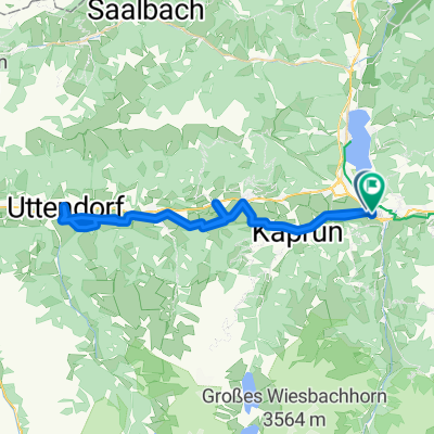
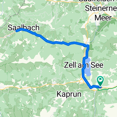
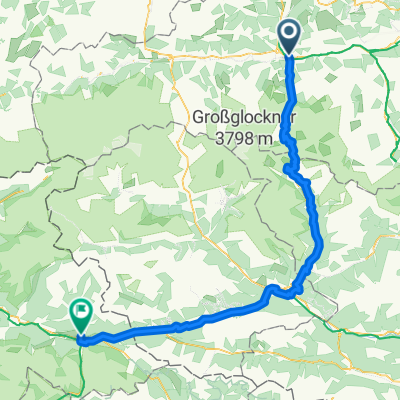
- Bruck an der Großglocknerstraße, Salzburg, Austria
A cycling route starting in Bruck an der Großglocknerstraße, Salzburg, Austria.
Overview
ridden on: 26.07.2003;
A lot of traffic from 9 a.m. onwards
created this 14 years ago
Route quality
Road
63 km
(87 %)
Quiet road
3.6 km
(5 %)
Paved
65.9 km
(91 %)
Asphalt
65.9 km
(91 %)
Undefined
6.5 km
(9 %)
Continue with Bikemap
You would like to ride Bruck a d G - Edelweißspitze-Großglockner-Heiligenblut-Aichhorn or customize it for your own trip? Here is what you can do with this Bikemap route:
Free trial for 3 days, or one-time payment. More about Bikemap Premium.
Discover more Premium features.
Get Bikemap PremiumFrom our community
Open it in the app