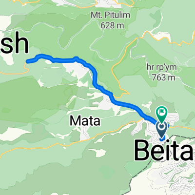
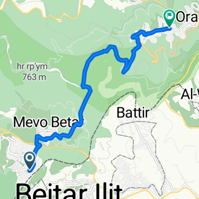
Recovered Route
A cycling route starting in W膩d墨 F奴k墨n, West Bank, Palestine.
Overview
About this route
- 23 min
- Duration
- 5.8 km
- Distance
- 62 m
- Ascent
- 267 m
- Descent
- 14.7 km/h
- Avg. speed
- ---
- Max. altitude
Route quality
Waytypes & surfaces along the route
Waytypes
Track
4.5 km
(78 %)
Quiet road
1 km
(17 %)
Surfaces
Paved
0.1 km
(2 %)
Unpaved
4.4 km
(76 %)
Gravel
4.4 km
(76 %)
Paved (undefined)
0.1 km
(2 %)
Undefined
1.3 km
(23 %)
Continue with Bikemap
Use, edit, or download this cycling route
You would like to ride Recovered Route or customize it for your own trip? Here is what you can do with this Bikemap route:
Free features
- Save this route as favorite or in collections
- Copy & plan your own version of this route
- Sync your route with Garmin or Wahoo
Premium features
Free trial for 3 days, or one-time payment. More about Bikemap Premium.
- Navigate this route on iOS & Android
- Export a GPX / KML file of this route
- Create your custom printout (try it for free)
- Download this route for offline navigation
Discover more Premium features.
Get Bikemap PremiumFrom our community
Other popular routes starting in W膩d墨 F奴k墨n
- 讘讬转专 注讬诇讬转 诇讘讬转 砖诪砖 1
- Distance
- 33.6 km
- Ascent
- 658 m
- Descent
- 604 m
- Location
- W膩d墨 F奴k墨n, West Bank, Palestine
- Nurit Street 244, Tzur Hadassah to Nurit Street 244, Tzur Hadassah
- Distance
- 6.7 km
- Ascent
- 74 m
- Descent
- 97 m
- Location
- W膩d墨 F奴k墨n, West Bank, Palestine
- Recovered Route
- Distance
- 16.9 km
- Ascent
- 221 m
- Descent
- 404 m
- Location
- W膩d墨 F奴k墨n, West Bank, Palestine
- Recovered Route
- Distance
- 5.8 km
- Ascent
- 62 m
- Descent
- 267 m
- Location
- W膩d墨 F奴k墨n, West Bank, Palestine
- 专讞壮 讚讜讻讬驻转, 诪住讬诇转 爪讬讜谉 to 专讞壮 讬住诪讬谉, 讗讜专讛
- Distance
- 10.9 km
- Ascent
- 381 m
- Descent
- 297 m
- Location
- W膩d墨 F奴k墨n, West Bank, Palestine
Open it in the app