Intersection of RT29 and West Ox to Oak Marr RECenter
A cycling route starting in Centreville, Virginia, United States of America.
Overview
About this route
Bike path to Oak Marr CCT: 12 Miles: Some section, bicyclist may share the road with cars or motorist.
Oak Marr CCT - W&OD Hunter Mill: 12.4. This section may be suitable for hiking or off-road bicycling such as mountain biking. Road biking is not suitable.
Some sections are not paved.
- -:--
- Duration
- 22.4 km
- Distance
- 93 m
- Ascent
- 137 m
- Descent
- ---
- Avg. speed
- 145 m
- Avg. speed
Route quality
Waytypes & surfaces along the route
Waytypes
Path
8.4 km
(38 %)
Quiet road
6 km
(27 %)
Surfaces
Paved
7.5 km
(33 %)
Unpaved
6.9 km
(31 %)
Asphalt
7 km
(31 %)
Ground
6.6 km
(29 %)
Continue with Bikemap
Use, edit, or download this cycling route
You would like to ride Intersection of RT29 and West Ox to Oak Marr RECenter or customize it for your own trip? Here is what you can do with this Bikemap route:
Free features
- Save this route as favorite or in collections
- Copy & plan your own version of this route
- Sync your route with Garmin or Wahoo
Premium features
Free trial for 3 days, or one-time payment. More about Bikemap Premium.
- Navigate this route on iOS & Android
- Export a GPX / KML file of this route
- Create your custom printout (try it for free)
- Download this route for offline navigation
Discover more Premium features.
Get Bikemap PremiumFrom our community
Other popular routes starting in Centreville
- Restful route in Centreville
- Distance
- 18.8 km
- Ascent
- 242 m
- Descent
- 237 m
- Location
- Centreville, Virginia, United States of America
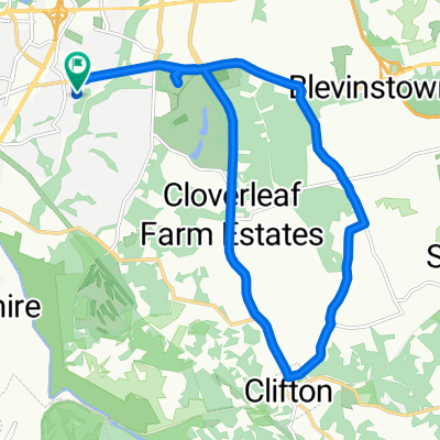
- Walney Rd, Centreville to Chantilly
- Distance
- 3.2 km
- Ascent
- 48 m
- Descent
- 19 m
- Location
- Centreville, Virginia, United States of America
- Greenhouse Terrace 5031, Centreville to Greenhouse Terrace 5031, Centreville
- Distance
- 18.3 km
- Ascent
- 134 m
- Descent
- 134 m
- Location
- Centreville, Virginia, United States of America
- Fairfax - dca - rossylyn
- Distance
- 132.2 km
- Ascent
- 921 m
- Descent
- 919 m
- Location
- Centreville, Virginia, United States of America
- Supersonic route in Centreville
- Distance
- 55.6 km
- Ascent
- 534 m
- Descent
- 529 m
- Location
- Centreville, Virginia, United States of America
- Intersection of RT29 and West Ox to Oak Marr RECenter
- Distance
- 22.4 km
- Ascent
- 93 m
- Descent
- 137 m
- Location
- Centreville, Virginia, United States of America
- 13999 Gunners Pl, Centreville to 6204 William Mosby Dr, Centreville
- Distance
- 51.9 km
- Ascent
- 476 m
- Descent
- 471 m
- Location
- Centreville, Virginia, United States of America
- Home to Leesburg Pike via FFX County Pwk
- Distance
- 47.5 km
- Ascent
- 178 m
- Descent
- 178 m
- Location
- Centreville, Virginia, United States of America
Open it in the app