Door to Door Day 9 L'isle-Jourdain - Saint-Jory-de-Chalais 18th Sept
- 105.8 km
- 1,350 m
- 1,231 m
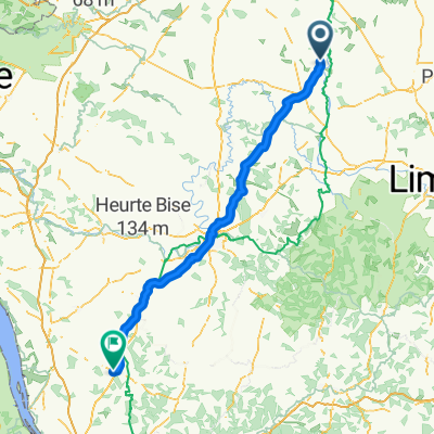
- Availles-Limouzine, Nouvelle-Aquitaine, France
Queaux - Chevanceaux
Road
78.3 km51 %Quiet road
36.8 km24 %Paved
56.8 km(37 %)Unpaved
3.1 km(2 %)Asphalt
56.8 km37 %Unpaved (undefined)
1.5 km1 %Bevoorrading 5
Free trial for 3 days, or one-time payment. More about Bikemap Premium.
Discover more Premium features.
Get Bikemap PremiumOpen it in the app