

RTF - TranzERZ 2011 (110km)
A cycling route starting in Tharandt, Saxony, Germany.
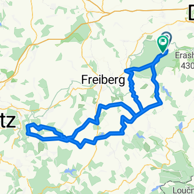
Overview
About this route
wunderschöne Gegend, vor allem super Ausblick in Tschechien (Skilift)
- -:--
- Duration
- 99 km
- Distance
- 0 m
- Ascent
- 0 m
- Descent
- ---
- Avg. speed
- ---
- Max. altitude

Route quality
Waytypes & surfaces along the route
Waytypes
Road
20.8 km
(21 %)
Path
6.9 km
(7 %)
Surfaces
Paved
76.2 km
(77 %)
Unpaved
4 km
(4 %)
Asphalt
76.2 km
(77 %)
Ground
2 km
(2 %)
Continue with Bikemap
Use, edit, or download this cycling route
You would like to ride RTF - TranzERZ 2011 (110km) or customize it for your own trip? Here is what you can do with this Bikemap route:
Free features
- Save this route as favorite or in collections
- Copy & plan your own version of this route
- Split it into stages to create a multi-day tour
- Sync your route with Garmin or Wahoo
Premium features
Free trial for 3 days, or one-time payment. More about Bikemap Premium.
- Navigate this route on iOS & Android
- Export a GPX / KML file of this route
- Create your custom printout (try it for free)
- Download this route for offline navigation
Discover more Premium features.
Get Bikemap PremiumFrom our community
Other popular routes starting in Tharandt
 Spritztour nach Meißen
- Distance
- 73 km
- Ascent
- 270 m
- Descent
- 270 m
- Location
- Tharandt, Saxony, Germany
 Somsdorf-Altenberg-Somsdorf
- Distance
- 73.2 km
- Ascent
- 799 m
- Descent
- 803 m
- Location
- Tharandt, Saxony, Germany
 Mittelpunkt Sachsen
- Distance
- 37.5 km
- Ascent
- 433 m
- Descent
- 433 m
- Location
- Tharandt, Saxony, Germany
 Kleine Herrenrunde
- Distance
- 28.9 km
- Ascent
- 311 m
- Descent
- 376 m
- Location
- Tharandt, Saxony, Germany
 Von Tharandt nach Colmnitz bei Freiberg
- Distance
- 14.9 km
- Ascent
- 327 m
- Descent
- 132 m
- Location
- Tharandt, Saxony, Germany
 RTF - TranzERZ 2011 (110km)
- Distance
- 99 km
- Ascent
- 0 m
- Descent
- 0 m
- Location
- Tharandt, Saxony, Germany
 Hartha - Augstusburg - Hartha RTF
- Distance
- 125.4 km
- Ascent
- 1,429 m
- Descent
- 1,347 m
- Location
- Tharandt, Saxony, Germany
 1. Route: Mit dem Rad das ehemalige Schmalspurnetz erkunden
- Distance
- 43.3 km
- Ascent
- 483 m
- Descent
- 486 m
- Location
- Tharandt, Saxony, Germany
Open it in the app