

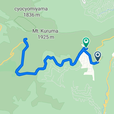
C絶景ビーナスラインルート
A cycling route starting in Suwa, Nagano, Japan.
Overview
About this route
- -:--
- Duration
- 58.9 km
- Distance
- 1,686 m
- Ascent
- 1,677 m
- Descent
- ---
- Avg. speed
- 1,804 m
- Max. altitude

Route quality
Waytypes & surfaces along the route
Waytypes
Quiet road
3.5 km
(6 %)
Cycleway
3.5 km
(6 %)
Surfaces
Paved
4.7 km
(8 %)
Paved (undefined)
3.5 km
(6 %)
Asphalt
1.2 km
(2 %)
Undefined
54.2 km
(92 %)
Continue with Bikemap
Use, edit, or download this cycling route
You would like to ride C絶景ビーナスラインルート or customize it for your own trip? Here is what you can do with this Bikemap route:
Free features
- Save this route as favorite or in collections
- Copy & plan your own version of this route
- Sync your route with Garmin or Wahoo
Premium features
Free trial for 3 days, or one-time payment. More about Bikemap Premium.
- Navigate this route on iOS & Android
- Export a GPX / KML file of this route
- Create your custom printout (try it for free)
- Download this route for offline navigation
Discover more Premium features.
Get Bikemap PremiumFrom our community
Other popular routes starting in Suwa
 諏訪湖1周
諏訪湖1周- Distance
- 17.5 km
- Ascent
- 38 m
- Descent
- 35 m
- Location
- Suwa, Nagano, Japan
 C絶景ビーナスラインルート
- Distance
- 58.9 km
- Ascent
- 1,686 m
- Descent
- 1,677 m
- Location
- Suwa, Nagano, Japan
 ビーナスライン まで茅野市
- Distance
- 13.3 km
- Ascent
- 295 m
- Descent
- 307 m
- Location
- Suwa, Nagano, Japan
 諏訪湖1周, 諏訪市
- Distance
- 16.2 km
- Ascent
- 18 m
- Descent
- 18 m
- Location
- Suwa, Nagano, Japan
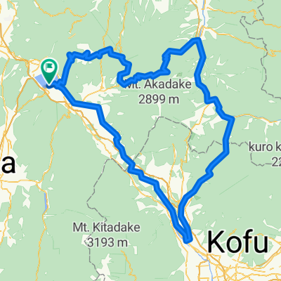
 Day 09:Shirakabako-Kawaguchiko
- Distance
- 125.5 km
- Ascent
- 2,341 m
- Descent
- 2,941 m
- Location
- Suwa, Nagano, Japan
 jkjl,
jkjl,- Distance
- 145.9 km
- Ascent
- 1,759 m
- Descent
- 2,164 m
- Location
- Suwa, Nagano, Japan
 10-09-2013_Day36
- Distance
- 18.3 km
- Ascent
- 682 m
- Descent
- 254 m
- Location
- Suwa, Nagano, Japan
 BRM200km A案
- Distance
- 205.8 km
- Ascent
- 3,342 m
- Descent
- 3,341 m
- Location
- Suwa, Nagano, Japan
Open it in the app