

dve planoti
A cycling route starting in Solkan, Nova Gorica, Slovenia.
Overview
About this route
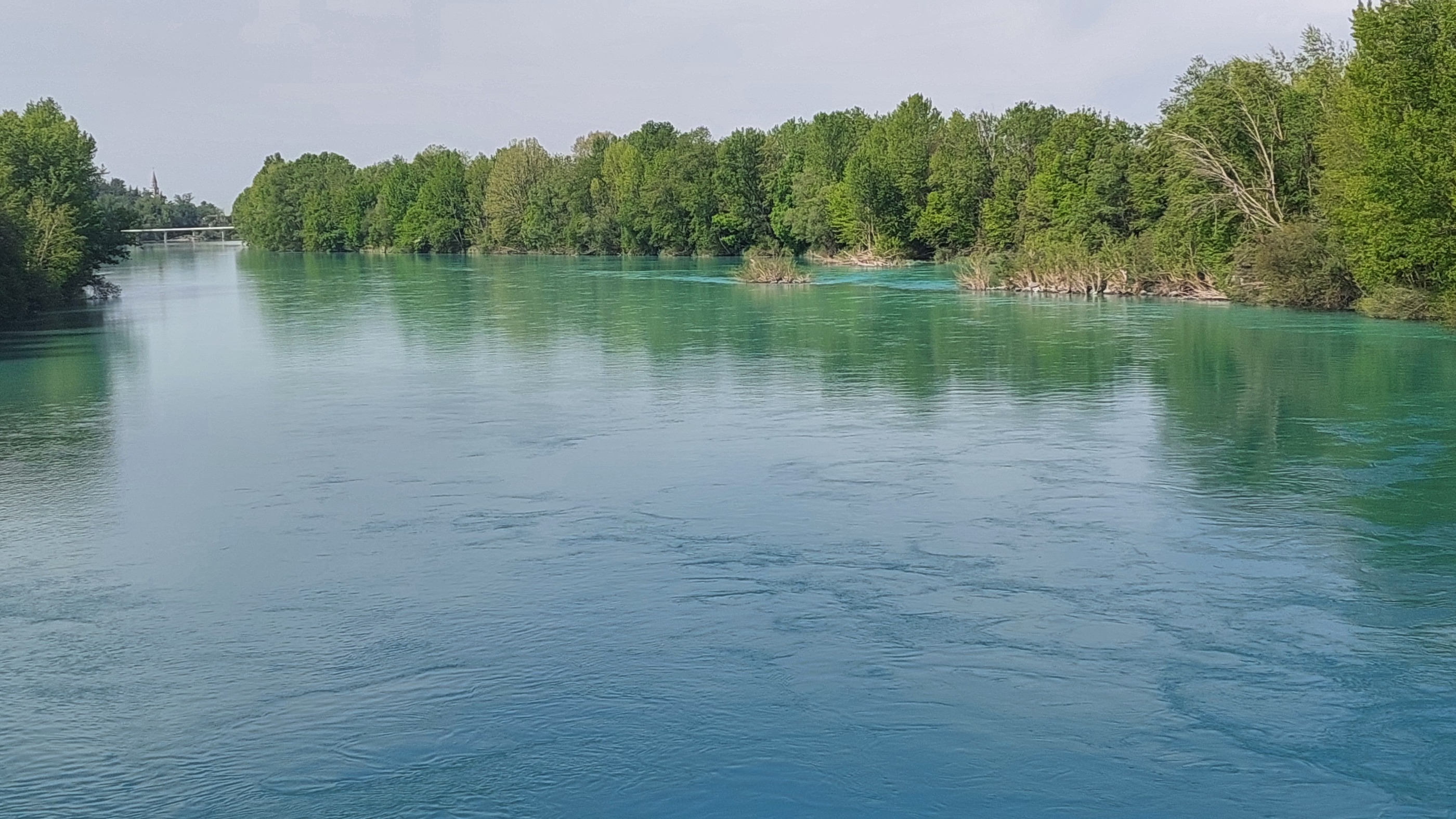
Izhodišče je Solkan (Kitajci). Sledijo vasi:
grgar,banjšice,kal nad kanalom, kanalski lom, most na soči, slap ob idrijci, pečine,ponikve,logaršče,klavže, bača pri modreju, postaja,čepovan,grgar, solkan (izhodišče)
- -:--
- Duration
- 100.1 km
- Distance
- 1,972 m
- Ascent
- 1,975 m
- Descent
- ---
- Avg. speed
- ---
- Max. altitude
Route quality
Waytypes & surfaces along the route
Waytypes
Busy road
40.2 km
(40 %)
Quiet road
35.6 km
(36 %)
Surfaces
Paved
84.3 km
(84 %)
Unpaved
0.3 km
(<1 %)
Asphalt
76.5 km
(76 %)
Paved (undefined)
7.8 km
(8 %)
Continue with Bikemap
Use, edit, or download this cycling route
You would like to ride dve planoti or customize it for your own trip? Here is what you can do with this Bikemap route:
Free features
- Save this route as favorite or in collections
- Copy & plan your own version of this route
- Split it into stages to create a multi-day tour
- Sync your route with Garmin or Wahoo
Premium features
Free trial for 3 days, or one-time payment. More about Bikemap Premium.
- Navigate this route on iOS & Android
- Export a GPX / KML file of this route
- Create your custom printout (try it for free)
- Download this route for offline navigation
Discover more Premium features.
Get Bikemap PremiumFrom our community
Other popular routes starting in Solkan
 Cicloviaggio FVG3 4-5-25 - Sabato
- Distance
- 10.1 km
- Ascent
- 113 m
- Descent
- 114 m
- Location
- Solkan, Nova Gorica, Slovenia
 From Solkan to Gorizia
- Distance
- 126.4 km
- Ascent
- 559 m
- Descent
- 555 m
- Location
- Solkan, Nova Gorica, Slovenia
 Sabotin - "8x čez mejo"
- Distance
- 25.5 km
- Ascent
- 738 m
- Descent
- 738 m
- Location
- Solkan, Nova Gorica, Slovenia
 Grado in Villaggio del pescatore
- Distance
- 109.6 km
- Ascent
- 284 m
- Descent
- 284 m
- Location
- Solkan, Nova Gorica, Slovenia
 Trst
Trst- Distance
- 119.4 km
- Ascent
- 699 m
- Descent
- 701 m
- Location
- Solkan, Nova Gorica, Slovenia
 Ino spomldanska Goriška
- Distance
- 42.2 km
- Ascent
- 1,250 m
- Descent
- 1,251 m
- Location
- Solkan, Nova Gorica, Slovenia
 dve planoti
- Distance
- 100.1 km
- Ascent
- 1,972 m
- Descent
- 1,975 m
- Location
- Solkan, Nova Gorica, Slovenia
 063 Medeuzza
- Distance
- 60.5 km
- Ascent
- 215 m
- Descent
- 213 m
- Location
- Solkan, Nova Gorica, Slovenia
Open it in the app