

BrühlKottenforst60
A cycling route starting in Brühl, North Rhine-Westphalia, Germany.
Overview
About this route
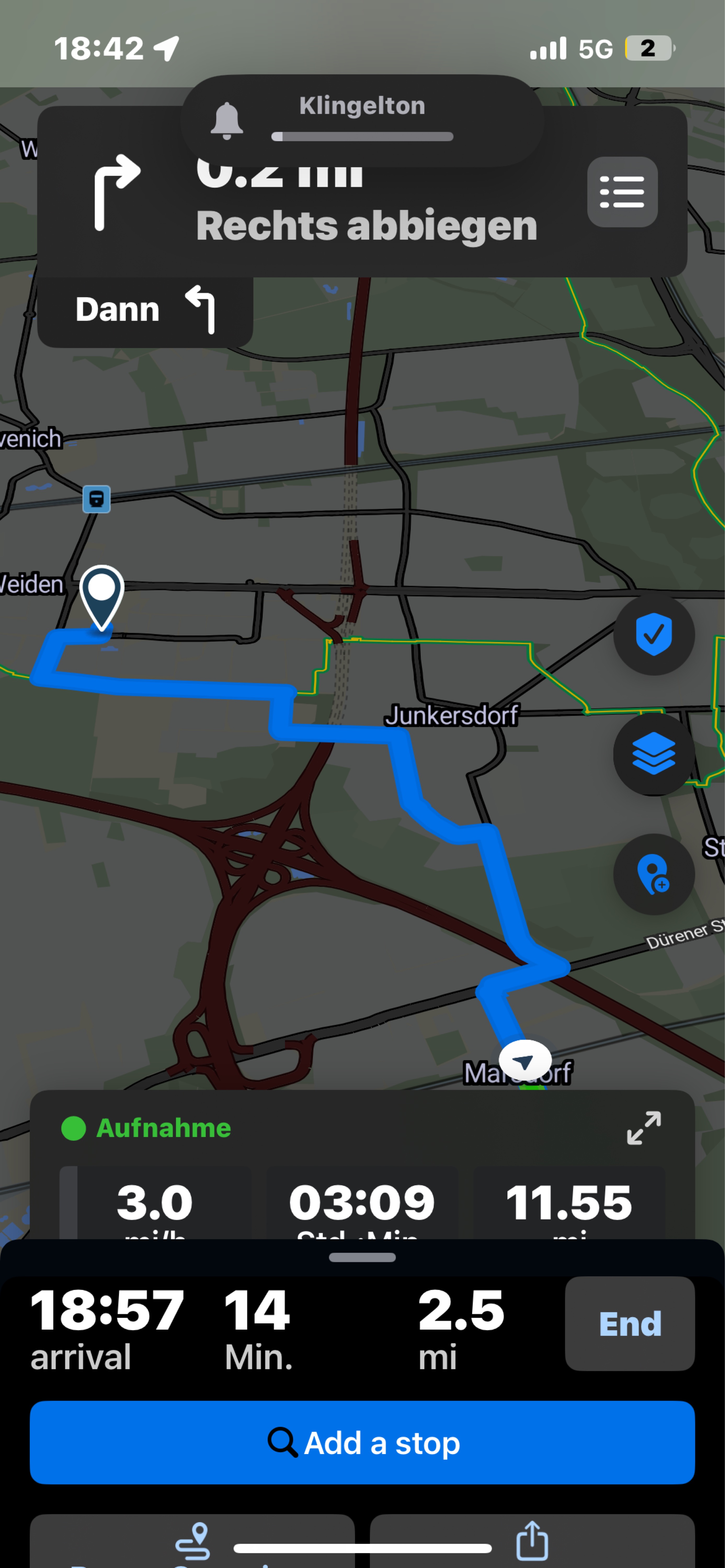
Von Brühl durch die Ville zum Bahnhof Kottenforst. Dann die Flerzheimer Allee runter über Röttgen nach Bonn. Am Rhein entlang wieder zurück.
- -:--
- Duration
- 59.8 km
- Distance
- 325 m
- Ascent
- 326 m
- Descent
- ---
- Avg. speed
- 188 m
- Max. altitude
Route quality
Waytypes & surfaces along the route
Waytypes
Path
25 km
(42 %)
Track
15.1 km
(25 %)
Surfaces
Paved
49.3 km
(82 %)
Unpaved
6.6 km
(11 %)
Asphalt
41.6 km
(70 %)
Paving stones
7.2 km
(12 %)
Continue with Bikemap
Use, edit, or download this cycling route
You would like to ride BrühlKottenforst60 or customize it for your own trip? Here is what you can do with this Bikemap route:
Free features
- Save this route as favorite or in collections
- Copy & plan your own version of this route
- Sync your route with Garmin or Wahoo
Premium features
Free trial for 3 days, or one-time payment. More about Bikemap Premium.
- Navigate this route on iOS & Android
- Export a GPX / KML file of this route
- Create your custom printout (try it for free)
- Download this route for offline navigation
Discover more Premium features.
Get Bikemap PremiumFrom our community
Other popular routes starting in Brühl
 Große Runde ab Brühl
- Distance
- 48.4 km
- Ascent
- 299 m
- Descent
- 299 m
- Location
- Brühl, North Rhine-Westphalia, Germany
 Route nach Aachen
- Distance
- 84.1 km
- Ascent
- 355 m
- Descent
- 246 m
- Location
- Brühl, North Rhine-Westphalia, Germany
 MTB: Best of Ville
- Distance
- 40.5 km
- Ascent
- 214 m
- Descent
- 214 m
- Location
- Brühl, North Rhine-Westphalia, Germany
 BrühlKottenforst60
- Distance
- 59.8 km
- Ascent
- 325 m
- Descent
- 326 m
- Location
- Brühl, North Rhine-Westphalia, Germany
 Seenweg Brühl
- Distance
- 20.8 km
- Ascent
- 91 m
- Descent
- 94 m
- Location
- Brühl, North Rhine-Westphalia, Germany
 Eifel-Ahr-Tour
- Distance
- 156.6 km
- Ascent
- 1,077 m
- Descent
- 1,080 m
- Location
- Brühl, North Rhine-Westphalia, Germany
 Brühl-Kierberg gerader Weg zum Kölner Dom
- Distance
- 14.6 km
- Ascent
- 18 m
- Descent
- 65 m
- Location
- Brühl, North Rhine-Westphalia, Germany
 Recovered Route
- Distance
- 20.4 km
- Ascent
- 68 m
- Descent
- 72 m
- Location
- Brühl, North Rhine-Westphalia, Germany
Open it in the app