11.06.07, zwölf Kapellentour
- 49 km
- 270 m
- 269 m
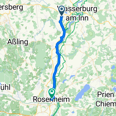
- Edling, Bavaria, Germany
A cycling route starting in Edling, Bavaria, Germany.
Overview
Staudham - (Panoramaweg Isar-Inn) - Edling - Schäching - Viehhausen - Wasserburg - (INO Inn Radweg Ost) - Kerschendorf - Beichten - Klosterfeld - Griesstätt - Sulmaring - Rosenheim - Thalreit - Taigscheid - Gmain - Schwaig - Tiefenbach - (Mozart) - Reisach - Oberaudorf
Gasthof Berghupferl, Sudelfeldstr 12, Oberaudorf
created this 4 years ago
Route quality
Quiet road
31 km
(46 %)
Track
23.6 km
(35 %)
Paved
46.5 km
(69 %)
Unpaved
19.5 km
(29 %)
Asphalt
44.4 km
(66 %)
Loose gravel
12.8 km
(19 %)
Route highlights
Aussichtspunkt
Schöne Bank unter einem Baum
Brotzeitbank

Steinerne Figur Innschiffahrt
Badestelle und Kiosk
Nußdorfer Sandbank
Sileisee - klar und erfrischend👍🏻

Gasthof Berghupferl, Sudelfeldstr 12, Oberaudorf
Continue with Bikemap
You would like to ride PWOZKS 2: Staudham - Oberaudorf, 67,3km 300hm or customize it for your own trip? Here is what you can do with this Bikemap route:
Free trial for 3 days, or one-time payment. More about Bikemap Premium.
Discover more Premium features.
Get Bikemap PremiumFrom our community
Open it in the app