

Kilistra Turu
A cycling route starting in Meram, Konya Province, Republic of Türkiye.
Overview
About this route
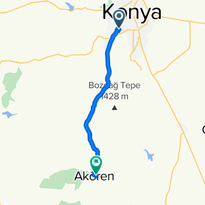
This week we will meet at the Meram Stone Bridge and head out via Dutlu Street to the Antalya Ring Road. From there, we will follow the direction towards Seydişehir and reach Kilistra. After visiting the historic site of Kilistra, we will pause for rest and photography before heading back. Our return will be via the Hatunsaray Road, ending at the last stop in Meram via Kozağaç.
- -:--
- Duration
- 88.9 km
- Distance
- 838 m
- Ascent
- 841 m
- Descent
- ---
- Avg. speed
- 1,458 m
- Max. altitude

Route quality
Waytypes & surfaces along the route
Waytypes
Road
32 km
(36 %)
Cycleway
19.6 km
(22 %)
Surfaces
Paved
14.2 km
(16 %)
Asphalt
14.2 km
(16 %)
Undefined
74.7 km
(84 %)
Route highlights
Points of interest along the route
Point of interest after 42.5 km
Kilistra
Continue with Bikemap
Use, edit, or download this cycling route
You would like to ride Kilistra Turu or customize it for your own trip? Here is what you can do with this Bikemap route:
Free features
- Save this route as favorite or in collections
- Copy & plan your own version of this route
- Split it into stages to create a multi-day tour
- Sync your route with Garmin or Wahoo
Premium features
Free trial for 3 days, or one-time payment. More about Bikemap Premium.
- Navigate this route on iOS & Android
- Export a GPX / KML file of this route
- Create your custom printout (try it for free)
- Download this route for offline navigation
Discover more Premium features.
Get Bikemap PremiumFrom our community
Other popular routes starting in Meram
 Akçadağ Sokak 4 to Çameli Sokak 17
- Distance
- 3.4 km
- Ascent
- 16 m
- Descent
- 14 m
- Location
- Meram, Konya Province, Republic of Türkiye
 Kilistra Turu
- Distance
- 88.9 km
- Ascent
- 838 m
- Descent
- 841 m
- Location
- Meram, Konya Province, Republic of Türkiye
 Yatağan-Sağlık Turu
- Distance
- 99.8 km
- Ascent
- 1,319 m
- Descent
- 1,322 m
- Location
- Meram, Konya Province, Republic of Türkiye
 Akçadağ Sokak 4 to Çameli Sokak 17
- Distance
- 4 km
- Ascent
- 4 m
- Descent
- 3 m
- Location
- Meram, Konya Province, Republic of Türkiye
 Aslan Ali Caddesi 41 to Aslan Ali Caddesi 41
- Distance
- 3.1 km
- Ascent
- 0 m
- Descent
- 12 m
- Location
- Meram, Konya Province, Republic of Türkiye
 Harmanlar Sokak 12 to Akören Alibeyhüyüğü Yolu
- Distance
- 47 km
- Ascent
- 448 m
- Descent
- 385 m
- Location
- Meram, Konya Province, Republic of Türkiye
 Emiceleri Ziyaret Turu
- Distance
- 137.8 km
- Ascent
- 1,130 m
- Descent
- 954 m
- Location
- Meram, Konya Province, Republic of Türkiye
 Kilistra-Karadiğin Turu
- Distance
- 86.3 km
- Ascent
- 1,402 m
- Descent
- 1,400 m
- Location
- Meram, Konya Province, Republic of Türkiye
Open it in the app