

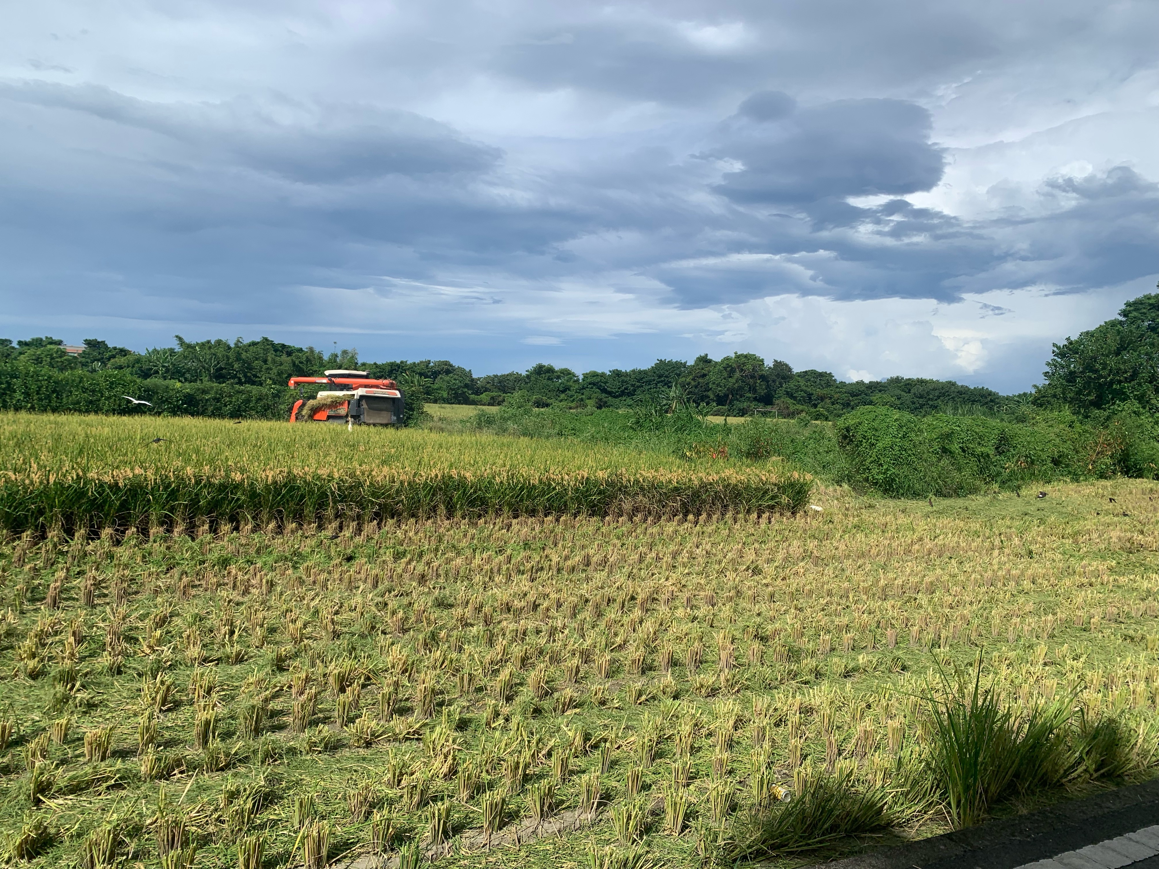
新竹-羅馬公路-大溪
A cycling route starting in Hsinchu, Taiwan, Taiwan.
Overview
About this route
Hsinchu-Roma Highway-Daxi
- -:--
- Duration
- 118.5 km
- Distance
- 2,929 m
- Ascent
- 2,854 m
- Descent
- ---
- Avg. speed
- 646 m
- Max. altitude
Route quality
Waytypes & surfaces along the route
Waytypes
Quiet road
8.3 km
(7 %)
Road
7.1 km
(6 %)
Surfaces
Paved
17.8 km
(15 %)
Asphalt
17.8 km
(15 %)
Undefined
100.7 km
(85 %)
Continue with Bikemap
Use, edit, or download this cycling route
You would like to ride 新竹-羅馬公路-大溪 or customize it for your own trip? Here is what you can do with this Bikemap route:
Free features
- Save this route as favorite or in collections
- Copy & plan your own version of this route
- Split it into stages to create a multi-day tour
- Sync your route with Garmin or Wahoo
Premium features
Free trial for 3 days, or one-time payment. More about Bikemap Premium.
- Navigate this route on iOS & Android
- Export a GPX / KML file of this route
- Create your custom printout (try it for free)
- Download this route for offline navigation
Discover more Premium features.
Get Bikemap PremiumFrom our community
Other popular routes starting in Hsinchu
 頭份~南庄~仙山~獅譚~錫溢隧道~苗栗~頭屋~頭份
- Distance
- 80.3 km
- Ascent
- 2,219 m
- Descent
- 2,148 m
- Location
- Hsinchu, Taiwan, Taiwan
 風城-北埔-風嶺--雙胎胞井-台積電-風城
- Distance
- 37.1 km
- Ascent
- 400 m
- Descent
- 401 m
- Location
- Hsinchu, Taiwan, Taiwan
 Nanliao, North District to E-W Expressway Nanliao-Zhudong Line, North District
- Distance
- 6.4 km
- Ascent
- 40 m
- Descent
- 34 m
- Location
- Hsinchu, Taiwan, Taiwan
 永和山水庫
永和山水庫- Distance
- 54.2 km
- Ascent
- 701 m
- Descent
- 754 m
- Location
- Hsinchu, Taiwan, Taiwan
 老爺酒店-青草湖-古奇峄-清大土地公-交大土地公之-老爺酒店
- Distance
- 23.6 km
- Ascent
- 314 m
- Descent
- 319 m
- Location
- Hsinchu, Taiwan, Taiwan
 Day 02
- Distance
- 124 km
- Ascent
- 204 m
- Descent
- 192 m
- Location
- Hsinchu, Taiwan, Taiwan
 Part1 Day2 (4/4)新竹市~台中市
- Distance
- 107.6 km
- Ascent
- 399 m
- Descent
- 335 m
- Location
- Hsinchu, Taiwan, Taiwan
 20200822父子倆騎行17公里中段
- Distance
- 5.5 km
- Ascent
- 0 m
- Descent
- 3 m
- Location
- Hsinchu, Taiwan, Taiwan
Open it in the app