

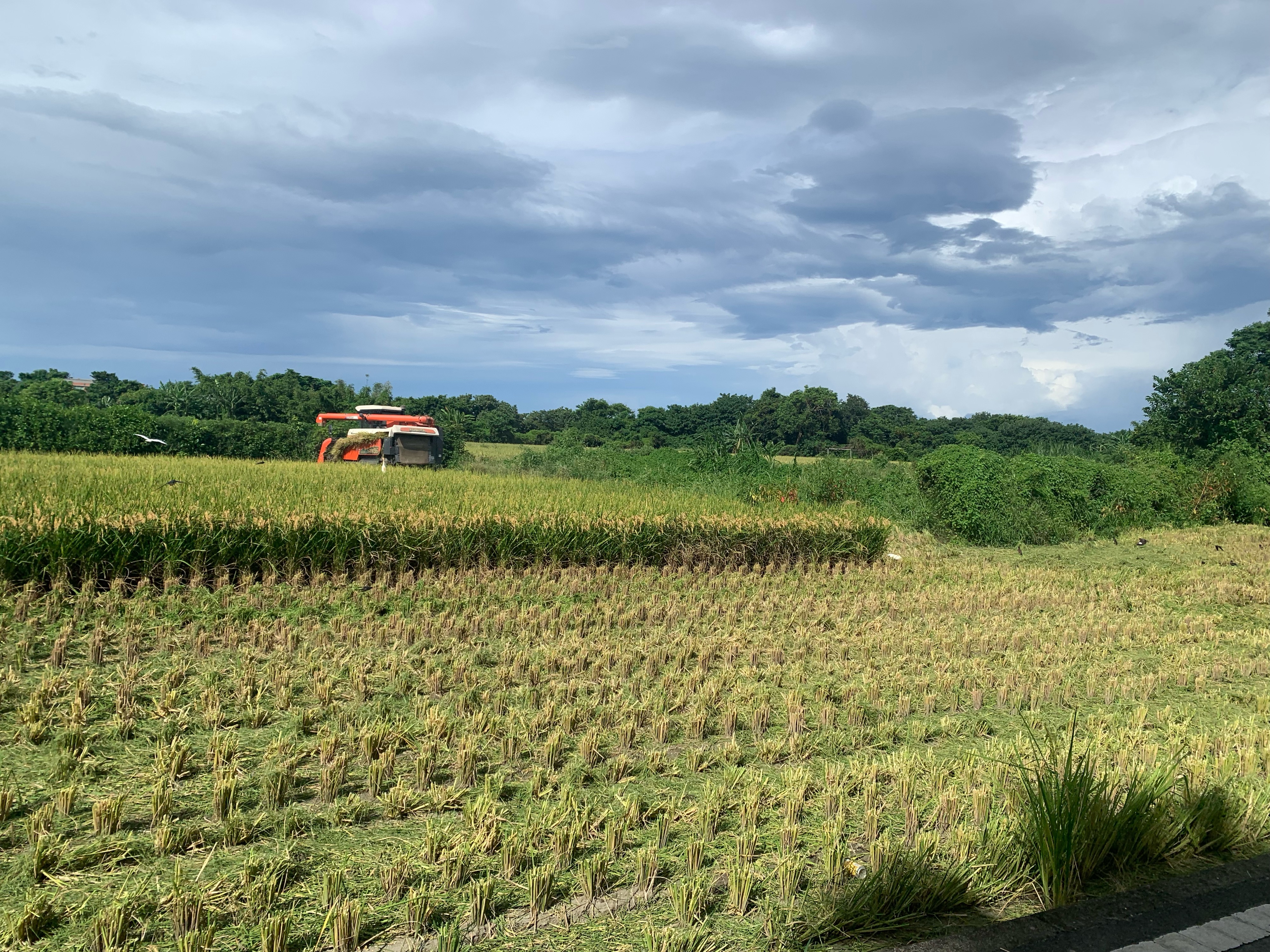
永和山水庫
A cycling route starting in Hsinchu, Taiwan, Taiwan.
Overview
About this route
- -:--
- Duration
- 54.2 km
- Distance
- 701 m
- Ascent
- 754 m
- Descent
- ---
- Avg. speed
- 151 m
- Max. altitude

Route quality
Waytypes & surfaces along the route
Waytypes
Road
30.4 km
(56 %)
Access road
11.4 km
(21 %)
Surfaces
Paved
2.7 km
(5 %)
Asphalt
2.2 km
(4 %)
Paved (undefined)
0.5 km
(1 %)
Undefined
51.5 km
(95 %)
Route highlights
Points of interest along the route
Point of interest after 17.4 km
這裡的路線與地圖有點不同
Point of interest after 17.9 km
頭份後花園
Point of interest after 29.4 km
走錯路.這條後來會很抖
Point of interest after 34.7 km
7-11. Lunch
Point of interest after 36.2 km
客家麵店
Continue with Bikemap
Use, edit, or download this cycling route
You would like to ride 永和山水庫 or customize it for your own trip? Here is what you can do with this Bikemap route:
Free features
- Save this route as favorite or in collections
- Copy & plan your own version of this route
- Sync your route with Garmin or Wahoo
Premium features
Free trial for 3 days, or one-time payment. More about Bikemap Premium.
- Navigate this route on iOS & Android
- Export a GPX / KML file of this route
- Create your custom printout (try it for free)
- Download this route for offline navigation
Discover more Premium features.
Get Bikemap PremiumFrom our community
Other popular routes starting in Hsinchu
 Part1 Day2 (4/4)新竹市~台中市
- Distance
- 107.6 km
- Ascent
- 399 m
- Descent
- 335 m
- Location
- Hsinchu, Taiwan, Taiwan
 風城-北埔-風嶺--雙胎胞井-台積電-風城
- Distance
- 37.1 km
- Ascent
- 400 m
- Descent
- 401 m
- Location
- Hsinchu, Taiwan, Taiwan
 永和山水庫
永和山水庫- Distance
- 54.2 km
- Ascent
- 701 m
- Descent
- 754 m
- Location
- Hsinchu, Taiwan, Taiwan
 Nanliao, North District to E-W Expressway Nanliao-Zhudong Line, North District
- Distance
- 6.4 km
- Ascent
- 40 m
- Descent
- 34 m
- Location
- Hsinchu, Taiwan, Taiwan
 宇老-羅馬公路
- Distance
- 152.1 km
- Ascent
- 1,901 m
- Descent
- 1,901 m
- Location
- Hsinchu, Taiwan, Taiwan
 新竹雙北
新竹雙北- Distance
- 298.3 km
- Ascent
- 2,518 m
- Descent
- 2,518 m
- Location
- Hsinchu, Taiwan, Taiwan
 20200822父子倆騎行17公里中段
- Distance
- 5.5 km
- Ascent
- 0 m
- Descent
- 3 m
- Location
- Hsinchu, Taiwan, Taiwan
 園區練騎路線 (青草湖、古奇峰) 25K_324m
- Distance
- 15.7 km
- Ascent
- 272 m
- Descent
- 270 m
- Location
- Hsinchu, Taiwan, Taiwan
Open it in the app