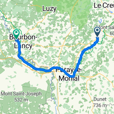
B04 Saint-Romain sous Gourdon - Pierrerfitte-sur-Loire
A cycling route starting in Saint-Vallier, Bourgogne-Franche-Comté, France.
Overview
About this route
Â
Â
Â
Â
Â
- -:--
- Duration
- 73.8 km
- Distance
- 511 m
- Ascent
- 619 m
- Descent
- ---
- Avg. speed
- 367 m
- Max. altitude
Route quality
Waytypes & surfaces along the route
Waytypes
Quiet road
34.5 km
(47 %)
Path
17.4 km
(24 %)
Surfaces
Paved
28 km
(38 %)
Unpaved
0 km
(<1 %)
Asphalt
22.9 km
(31 %)
Paved (undefined)
4.7 km
(6 %)
Continue with Bikemap
Use, edit, or download this cycling route
You would like to ride B04 Saint-Romain sous Gourdon - Pierrerfitte-sur-Loire or customize it for your own trip? Here is what you can do with this Bikemap route:
Free features
- Save this route as favorite or in collections
- Copy & plan your own version of this route
- Sync your route with Garmin or Wahoo
Premium features
Free trial for 3 days, or one-time payment. More about Bikemap Premium.
- Navigate this route on iOS & Android
- Export a GPX / KML file of this route
- Create your custom printout (try it for free)
- Download this route for offline navigation
Discover more Premium features.
Get Bikemap PremiumFrom our community
Other popular routes starting in Saint-Vallier
- Saint Vallier - Pouilloux
- Distance
- 11.3 km
- Ascent
- 215 m
- Descent
- 216 m
- Location
- Saint-Vallier, Bourgogne-Franche-Comté, France
- B04 Saint-Romain sous Gourdon - Pierrerfitte-sur-Loire
- Distance
- 73.8 km
- Ascent
- 511 m
- Descent
- 619 m
- Location
- Saint-Vallier, Bourgogne-Franche-Comté, France
- St. Quentin—Nusshof
- Distance
- 403.5 km
- Ascent
- 1,218 m
- Descent
- 1,096 m
- Location
- Saint-Vallier, Bourgogne-Franche-Comté, France
- 20200723 Day 7c - Saint-Vallier Ă Palinges
- Distance
- 20.8 km
- Ascent
- 126 m
- Descent
- 219 m
- Location
- Saint-Vallier, Bourgogne-Franche-Comté, France
- tour gibles charolles
- Distance
- 98.5 km
- Ascent
- 1,001 m
- Descent
- 1,091 m
- Location
- Saint-Vallier, Bourgogne-Franche-Comté, France
- Erster Tag
- Distance
- 36.1 km
- Ascent
- 504 m
- Descent
- 513 m
- Location
- Saint-Vallier, Bourgogne-Franche-Comté, France
- DAY 5
- Distance
- 78.7 km
- Ascent
- 40 m
- Descent
- 103 m
- Location
- Saint-Vallier, Bourgogne-Franche-Comté, France
- Palinges
- Distance
- 46.5 km
- Ascent
- 241 m
- Descent
- 249 m
- Location
- Saint-Vallier, Bourgogne-Franche-Comté, France
Open it in the app